Birding Around Las Vegas, Favorite Places Far Away
 Highway 120 at Highway 395 (view E) |
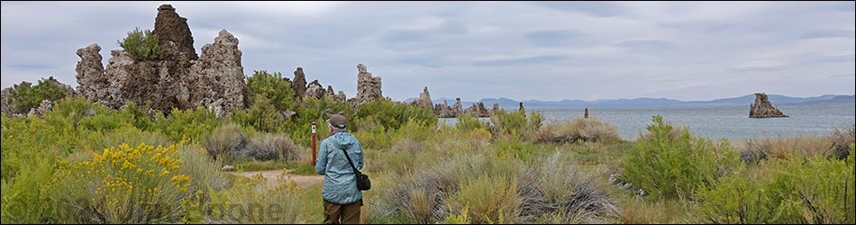
Overview Located along the east side of the Sierra Nevada Mountain Range, and perhaps better known for the tufa towers and western water wars, Mono Lake provides salty habitat for billions of alkali flies and brine shrimp. The flies and shrimp, in turn, are food for many thousands of grebes, ducks, gulls, shorebirds, and other species, some 300 species and millions of individuals in all. Each spring, about 50,000 California Gulls breed on the big island in the lake, and about 400 endangered Snowy Plovers nest on the alkali flats on the northeast shore. In mid-summer, thousands of Wilson's Phalaropes and Red-necked Phalaropes stop during the migration south to fatten up; and in the fall, nearly two million Eared Grebes join the food feast. Ducks, geese, and Tundra Swans also stop over during migration. Link to Mono Lake Area Map. |
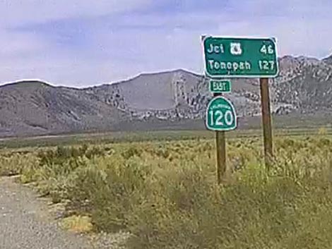 Sign at Highway 120 -- Highway 395 intersection (view E) |
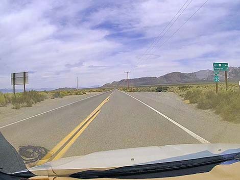
Location Mono Lake is located east of Highway 395, just east of Lee Vining, California. The South Tufa Area is located about 11 miles southeast of Lee Vining. From Highway 395 south of Lee Vining, watch for signs to Highway 120 East and the town of Benton. Turn east onto Highway 120 and drive east at 60 mph crossing open desert heading towards mountains in the distance. As Highway 120 approaches the mountains, the highway goes through curves that seem too sharp for 60 mph, but at least they are well signed. After about 4.7 miles on Highway 120, watch for signs for "Test Station Road" and "Mono Lake South Tufa," and turn left onto the paved Test Station Road to head north towards Mono Lake. In about 100 yards, Test Station Road forks. Stay left following signs towards the tufa area. The pavement quickly ends. Continue about 1 mile on graded gravel, staying straight on the main road when it forks, to the end of the road at the South Tufa Trail parking area. |
 Highway 120 runs straight all the way to the mountain (view E) |
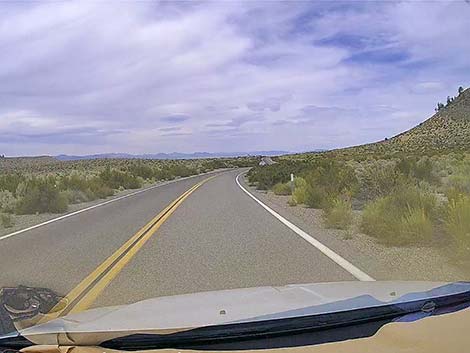 At the mountains, Highway 120 goes into curves (view E) |
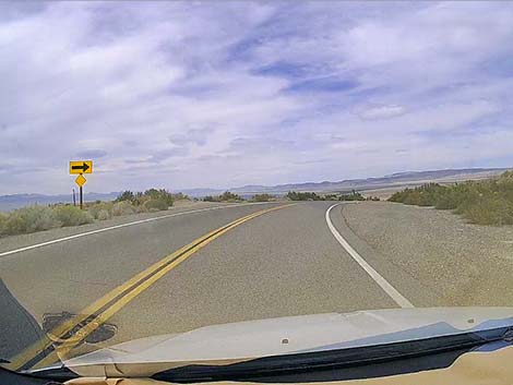
 Some of the curves are surprisingly sharp for a highway (view E) |
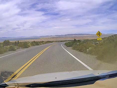
 Some of the curves are surprisingly sharp for a highway (view E) |
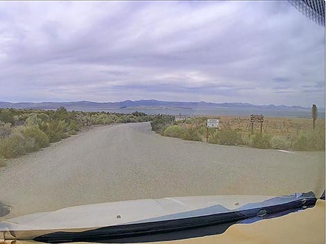
 Highway sign: approaching Test Station Road (view NE) |
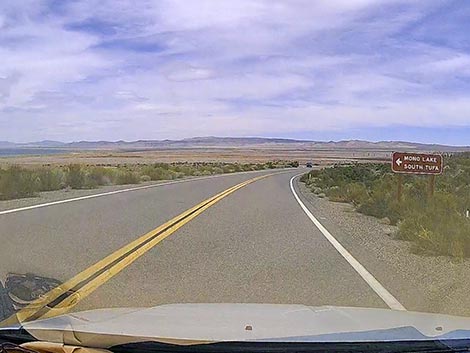 Highway sign: Mono Lake South Tufa to the left (view NE) |
 Highway 120 at Test Station Road (view NE) |
 Starting onto Test Station Road (view N) |
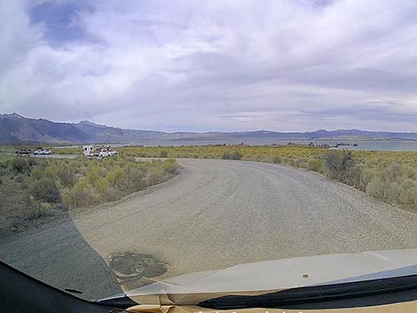
 Approaching intersection to Navy Beach -- stay left (view N) |
 Signs at the intersection to Navy Beach (view N) |
 Pavement on Test Station Road quickly ends (view N) |
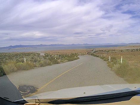
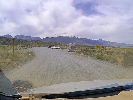
 Approaching an unsigned intersection -- stay straight (view N) |
 Approaching South Tufa parking lot (view NW) |
 Entering South Tufa parking lot (view W) |
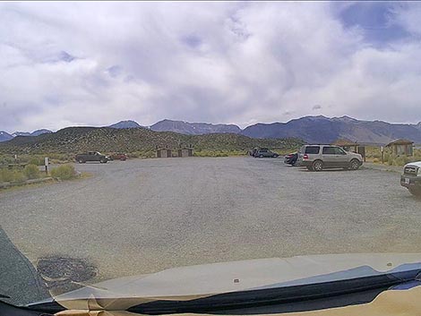 South Tufa Trail parking lot (view W) |
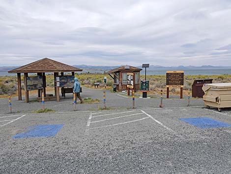 Accessible parking at the South Tufa trailhead (view N) |
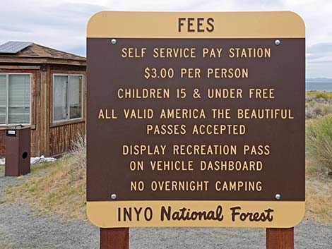 This is a fee area (view N) |
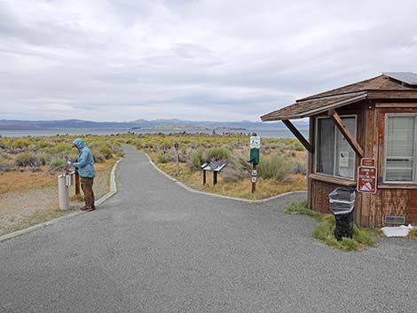 Information kiosk, sometimes with a human (view N) |
 Information kiosk with signs (view N) |
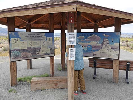
 Information sign about plants in the area (view N) |
Happy birding! All distances, elevations, and other facts are approximate.
![]() ; Last updated 240902
; Last updated 240902
| Favorite Places Far Away | Birding Around Las Vegas | Glossary | Copyright, Conditions, Disclaimer | Home |