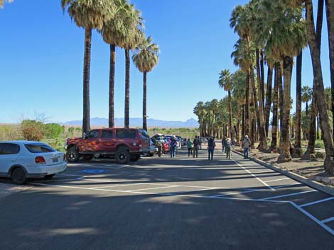
 Hikers in the parking lot (view NE) |
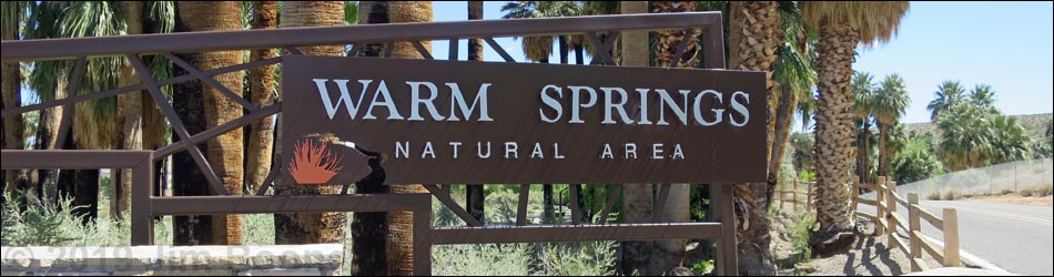
Description Warm Springs Natural Area (WSNA) is a 1,250-acre nature reserve in the upper Moapa Valley. Once owned by Howard Hughes, the area is now owned by the Southern Nevada Water Authority, the main agency supplying water to the Las Vegas valley. The area features more than two dozen bubbling springs, rushing streams, and lush wetlands, and is home to 28 sensitive species, including the Moapa Dace and more than 200 species of birds (download bird list). Moapa Valley is a broad, flat area of dry Mojave Desert Scrub set between limestone mountain ranges. In that area, water emerges from five main spring-complexes, including warm water springs (about 90°F). Water from the springs converges downstream to form the Muddy River (a stream, but a river in arid Nevada), which flows to the Virgin River and then to Lake Mead. All of this creates some 1,000 acres of riparian habitat. Link to map or interactive WSNA trail map. |
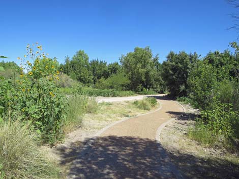
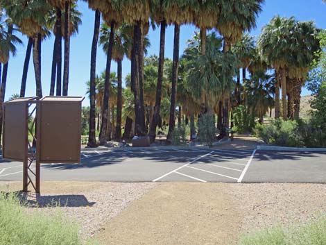
 The route begins adjacent to the parking lot (view NE) |
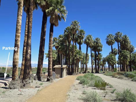
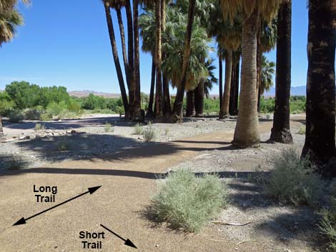
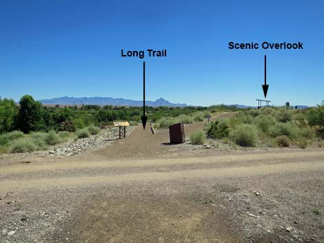
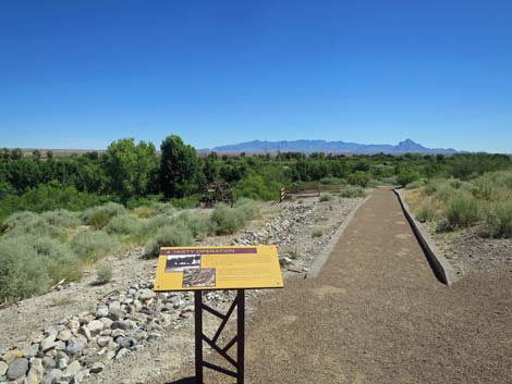
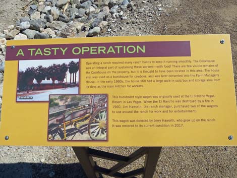
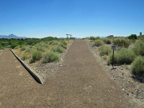
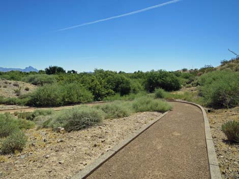
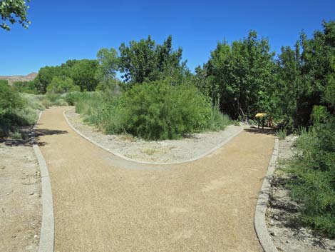
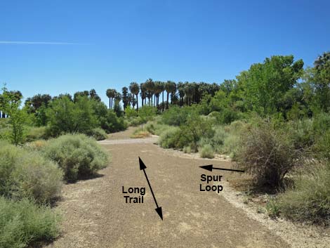
Among the things to do at Warm Springs Natural Area are two trails. Both trails are easy and provide nice views and information about the area, but one trail is short and the other is longer. Presented here are photos of the Long Trail, which starts from the parking area. Walking past the end of the parking area, walkers can cross over to a trail that runs along picnic tables and the vault toilet. This trail through the picnic area is the beginning of the Long Trail. The Long Trail runs parallel to the dirt service road until the road bends right and the trail crosses the road continuing more or less straight. The trail across the road is marked with a yellow information sign about the "tasty operation." The Long trail forks at that point. The right fork is a spur-trail that runs up to a low promontory with a shade cover. This promontory offers grand views out across the Warm Springs area, and also provides two information signs. |
 Long Trail passes the end of the Short Trail (view NE) |
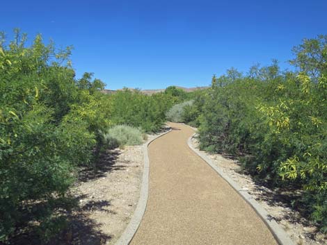
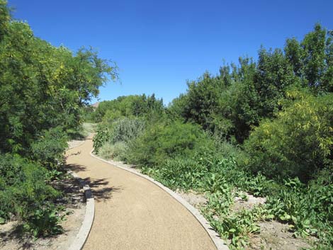
Returning to the fork in the trail, the main Long Trail continues eastward and down a slope into lower lands beneath the promontory. Here, in a thicket of mesquite, the trail bends sharply to the left and begins a long, winding journey along the edge of a small stream. Various signs and short spur-trails lead to quiet spots, and eventually the Long Trail crosses another service road. The trail continues straight across the road and continues following the stream. Eventually hikers arrive at an open area with corrals and information about ranching history in the area. The Long Trail wraps around the far side of the corral, and still following a small stream, begins to climb back towards the trailhead. The trail offers opportunities for a quiet walk on a short boardwalk, and it passes several information signs before popping out of the thickets and back into the parking area. |
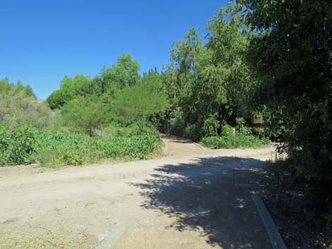
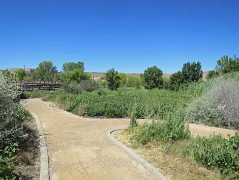
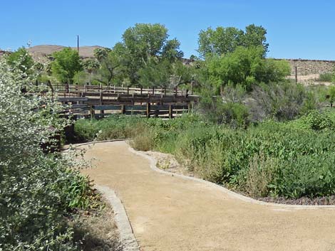
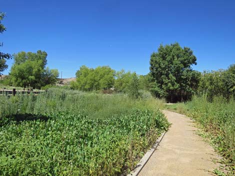
 Long Trail crosses a service road (view NE) |
 Across the service road, an information sign (view NE) |
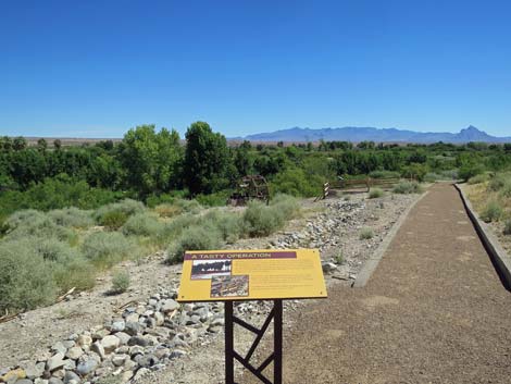
 Information sign: A Tasty Operation (view NE) |
 Spur trail to overlook (view E) |
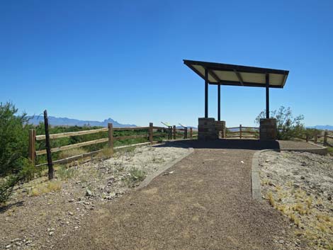 Spur trail approaching the overlook (view E) |
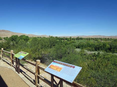
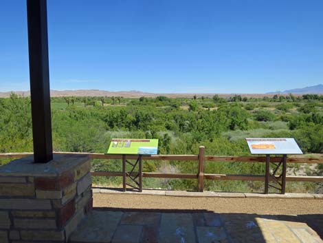 Overlook with long views over the WSNA and beyond (view N) |
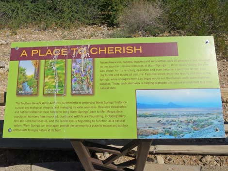 Information sign: A Place to Cherish (view N) |
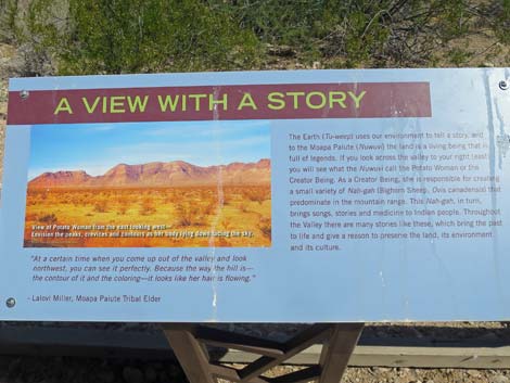 Information sign: A View with a Story (view N) Information sign: A View with a Story (view N) |
 Overlook with long views over the WSNA and beyond (view NE) |
 Back to the Long Trail (view NE) |
 Long Trail approaching an exhibit (view NE) |
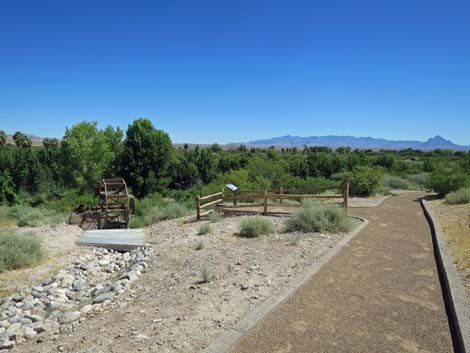
 Short spur to waterwheel exhibit (view NW) |
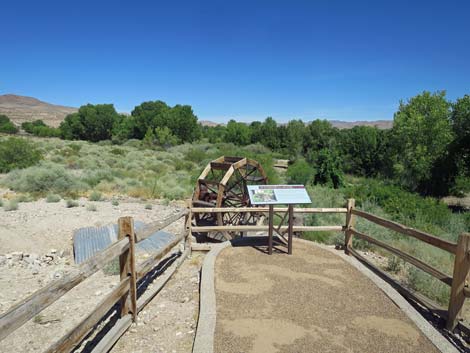
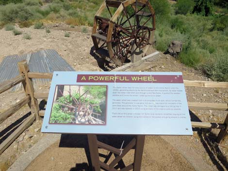 Information sign: A Power Wheel (view NW) |
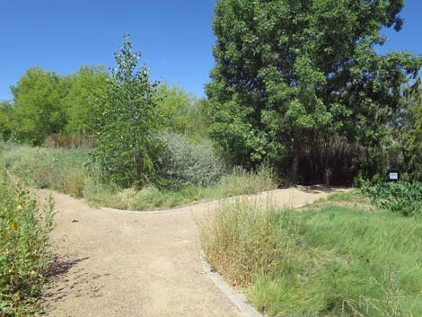
 Long Trail loops hard to the left (view E) |
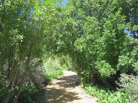
 Long Trail winding through a mesquite thicket (view W) |
 Long Trail winding through a mesquite thicket (view W) |
 Short spur trail to a stream-side exhibit (view NW) |
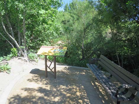 Information sign at stream-side exhibit (view NW) |
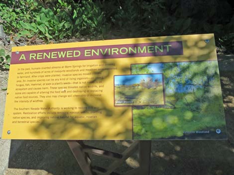 Information sign: A Renewed Environment (view NW) |
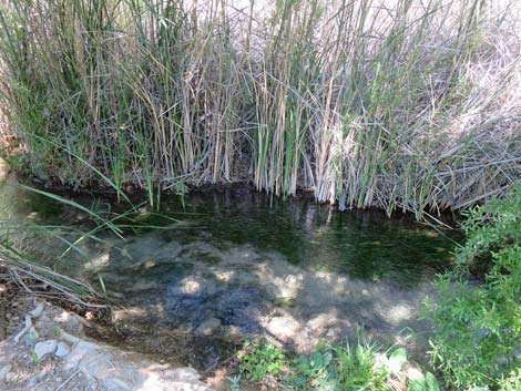
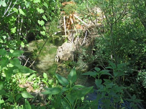 Aquatic and riparian vegetation along the stream |
 Long Trail approaching another service road (view NW) |
 Long Trail crosses the service road (view NW) |
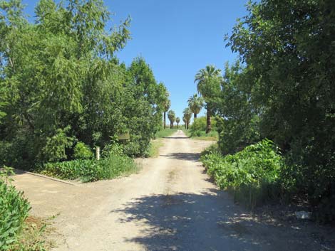 Service road; area is closed to the public (view N) |
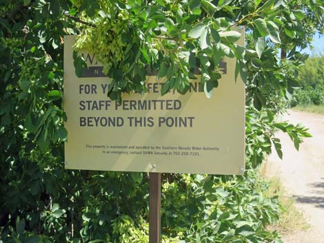 Sign at edge of service road; area closed to the public (view N) |
 Long Trail continues past the service road (view NW) |
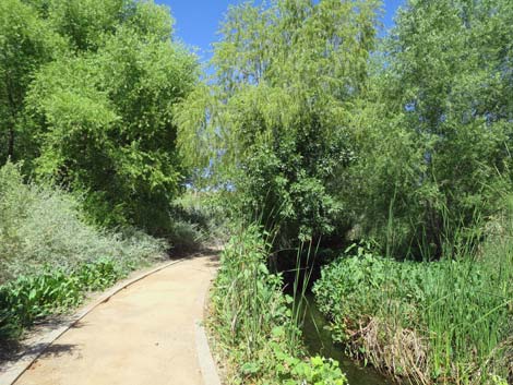 Long Trail runs along the stream (view W) |
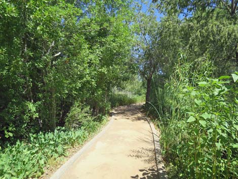 Long Trail winding through the trees (view W) |
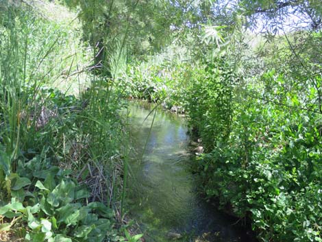 Aquatic and riparian vegetation along the stream (view NW) |
 Long Trail approaching another spur trail (view SW) |
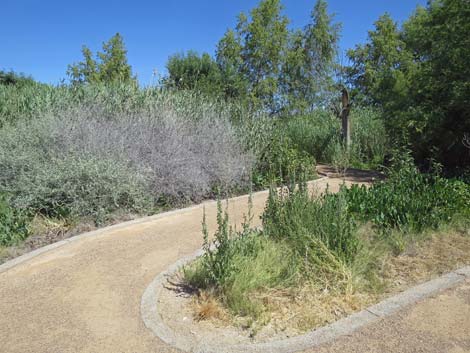 Short spur trail departs the Long Trail (view N) |
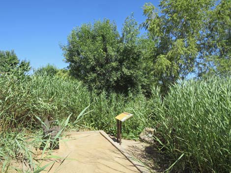 End of the short spur trail (view NW) |
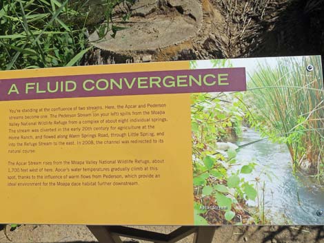 Information sign: A Fluid Convergence (view NE) |
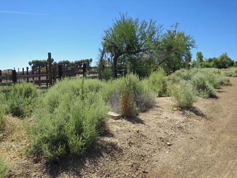
 Long Trail continues into open area with corrals (view SW) |
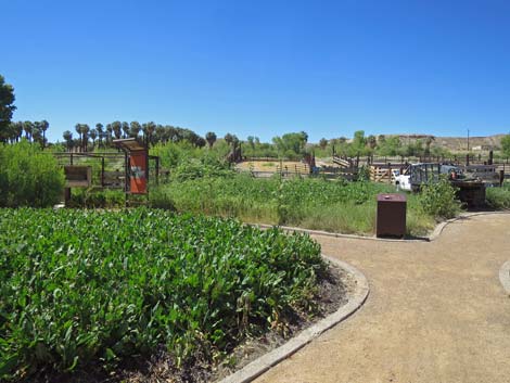 Short spur trail to cattle operations exhibit (view S) |
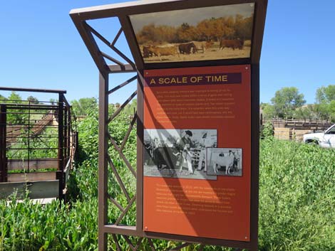 Information sign: A Scale of Time (view S) |
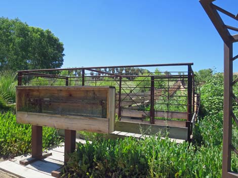 Exhibit about weighing cattle (view S) |
 Long Trail continues past the corrals (view W) |
 Short spur trail to a stream-side exhibit (view W) |
 Aquatic and riparian vegetation along the stream (view W) |
 Back on the Long Trail (view S) |
 Another short spur trail to a stream-side sign (view W) |
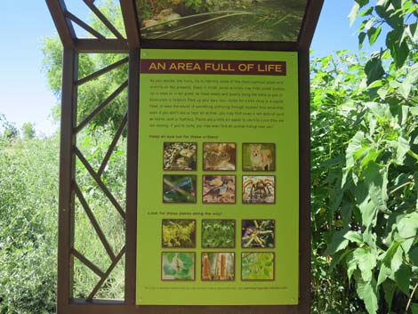 Information sign: An Area Full of Life (view S) |
 Long Trail continuing past the end of the corral (view S) |
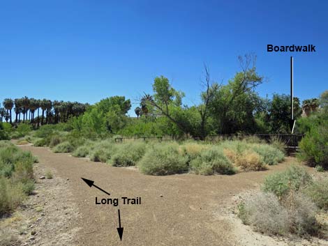 A short loop trail to a boardwalk along a stream (view S) |
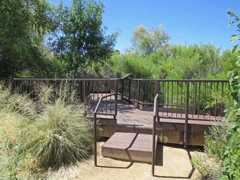 Boardwalk along a stream (view SW) |
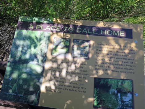 Information sign: A Place to Call Home (view E) |
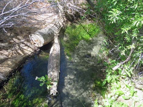 Stream below the boardwalk |
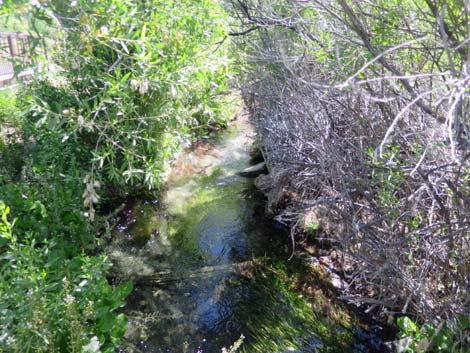 Stream below the boardwalk |
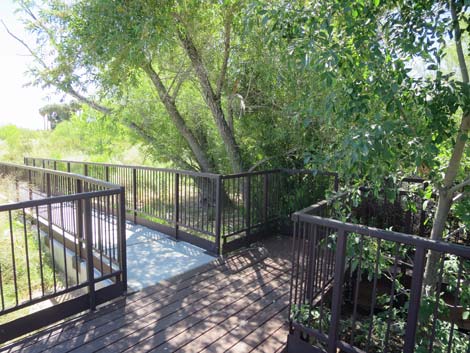 Loop trail exits the boardwalk |
 Loop exits to Long Trail; Long Trail crosses service road (view SE) |
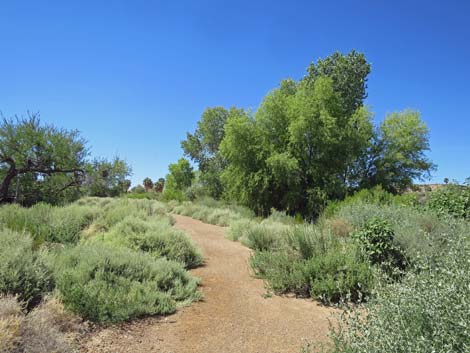
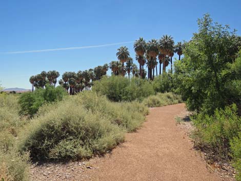
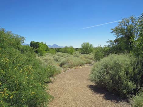 Long Trail winds through desert vegetation (view E) |
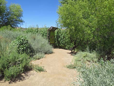
 Long Trail approaching an information sign (view SE) |
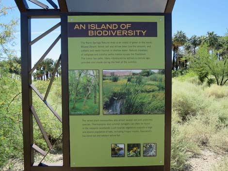 Information sign: An Island of Biodiversity (view S) |
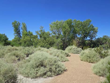 Long Trail winds through desert vegetation (view SW) |
 Long Trail winds through desert vegetation (view SE) |
 Long Trail winds through desert vegetation (view SE) |
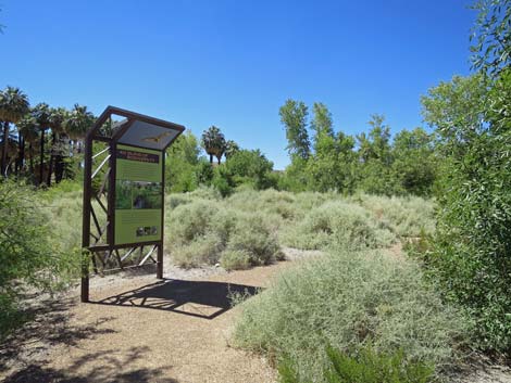
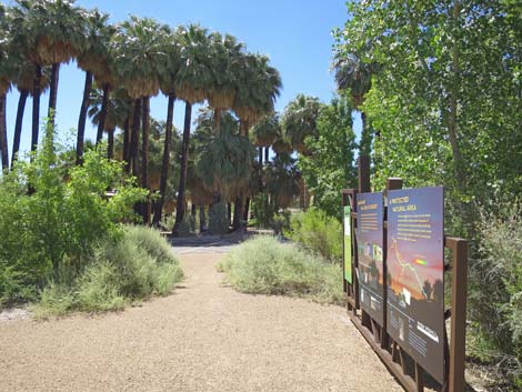 Long Trail approaching three information signs (view SE) |
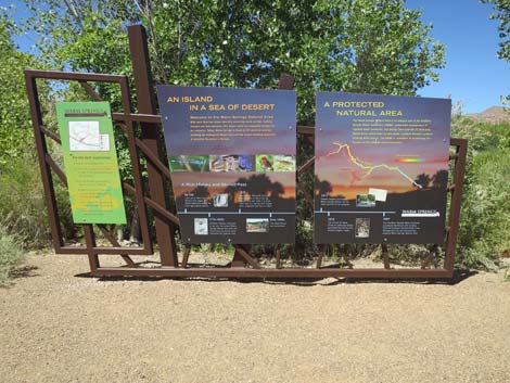 Three information signs (view SW) |
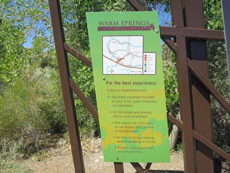 Information sign: map plus rules and regulations (view SW) |
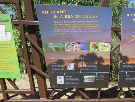 Information sign: An Island in a Sea of Desert (view SW) |
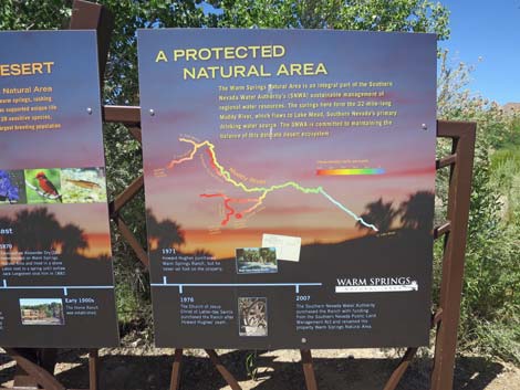 Information sign: A Protected Natural Area (view SW) |
 Long Trail returning to the parking area (view SE) |
Happy birding! All distances, elevations, and other facts are approximate.
![]() ; Last updated 190725
; Last updated 190725
| Birding Around Las Vegas | Southern Nevada Birds | Guide Service | Copyright, Conditions, Disclaimer | Home |