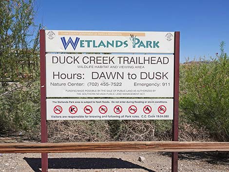
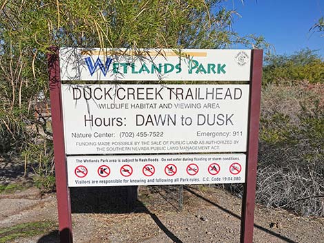
Duck Creek Trailhead
Clark County Wetlands Park
Birding Around Las Vegas, Urban Las Vegas Valley
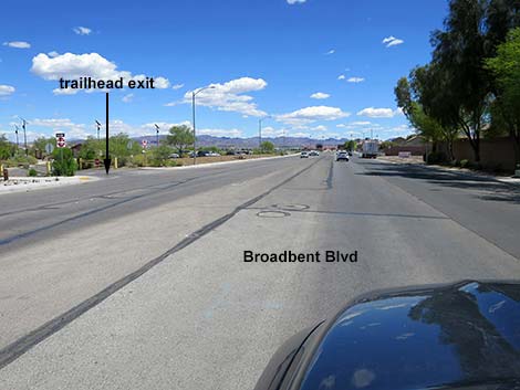
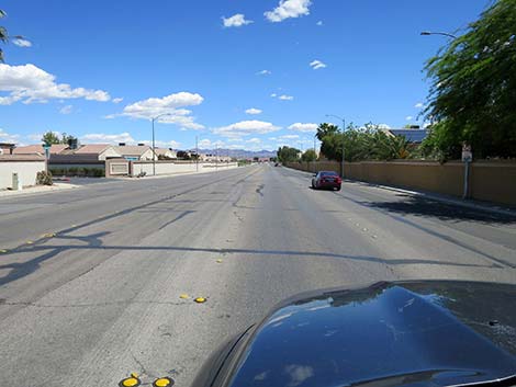 Broadbent Blvd southbound (view SE) |
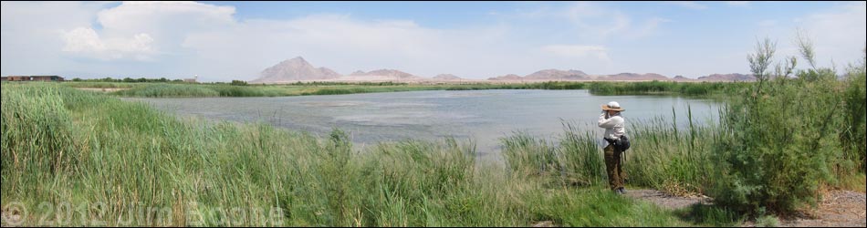
Description Duck Creek, on the southeast side of the Las Vegas Valley, is part of the Clark County Wetlands Park and lies right along Las Vegas Wash. In recent years, Clark County, in partnership with Duck Unlimited, has dredged and sculpted six ponds near the wash. The Duck Creek ponds attract large numbers of ducks, shorebirds, and other wetland species (e.g., grebes, herons, and rails), plus a few oddities such as Scissor-tailed Flycatcher and Red-throated Pipit. This is also a good place to see dragonflies. The 0.4-mile walk out to the edge of the Duck Creek ponds is paved and nearly level. Dirt roads run along the west edge of the ponds and along the south end. High water, creeks, and dense vegetation prevent making a complete loop. The area was being managed to prevent tall vegetation from taking over and crowding out the birds and bird watchers, but they don't always do a very good job. Link to Overview Map, Trailhead Map, or download official brochure map (PDF). |
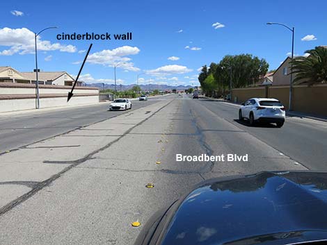 Broadbent Blvd bordered by cinderblock walls (view SE) |
Location Duck Creek is located in the southeast side of the Las Vegas Valley. From downtown, drive south on Highway 93-95 to Tropicana. Exit the highway, turn left onto Tropicana, and drive east. Cross Boulder Highway and continue east until Tropicana bends to the right in a broad, 45-degree turn to the right (south). At the curve, Tropicana becomes Broadbent Blvd. Continue on Broadbent, but notice on the outside of the curve that Tropicana continues eastward towards the Clark County Wetlands Park Visitor Center. |
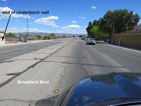 Broadbent Blvd passing end of cinderblock wall on left (view SE) |
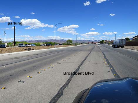
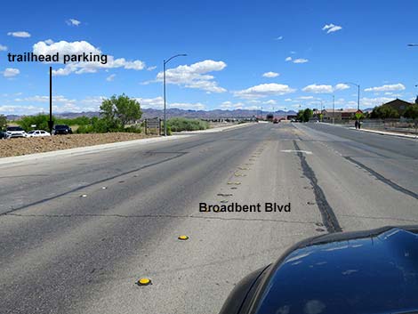
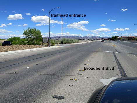
For the Duck Creek trailhead parking area, continue southeast on Broadbent Blvd. Just past the cinder-block wall on the east (left) side of the road. The next road past the cinder-block wall is the one-way exit from the Duck Creek parking area. Continue past the parking area to the next road to the left: this is the entrance. The Duck Creek parking lot is marked by a "Wetlands Park, Duck Creek Trail" sign. Turn into the parking area, which is a one-way loop. Park here; this is the trailhead (Site 0711). |
 Broadbent Blvd at exit from Duck Creek trailhead parking (view SE) |
 Broadbent Blvd passing Duck Creek trailhead parking (view SE) |
 Broadbent Blvd passing last of trailhead parking (view SE) |
 Approaching entrance to Duck Creek trailhead parking |
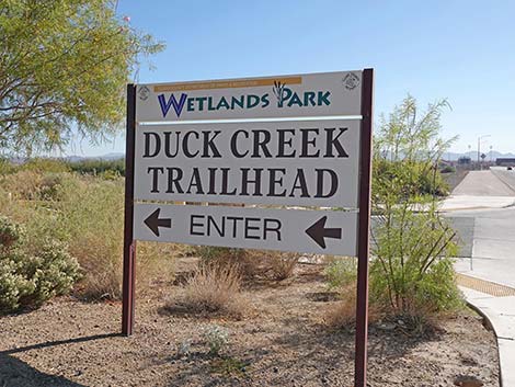
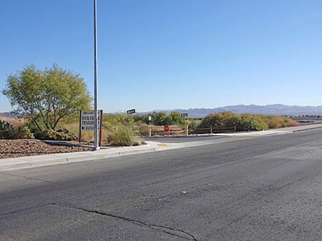 Entrance sign to Duck Creek trailhead parking |
 North side of sign at turn into Trailhead parking (view SE) |
 Broadbent Blvd approaching entrance Duck Creek trailhead parking |
 Broadbent Blvd entering Duck Creek trailhead parking |
 Duck Creek Trailhead parking entrance (view E from Broadbent) |
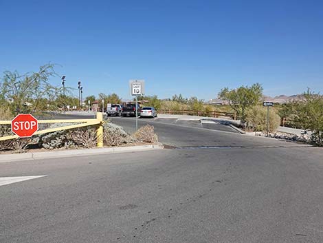
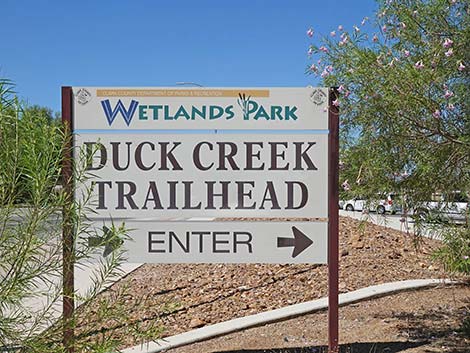 South side of sign at entrance to Duck Creek parking (view NW) |
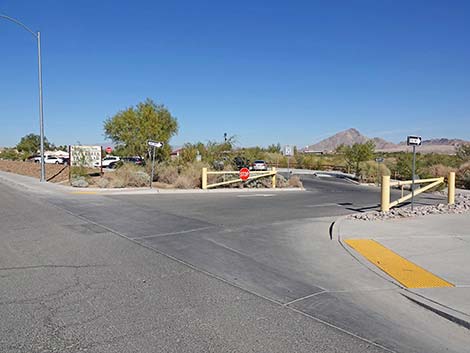
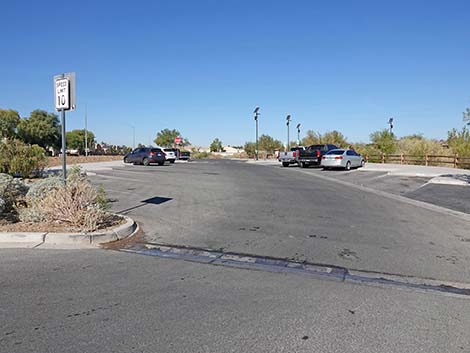
Broadbent Blvd Northbound, approaching Duck Creek Parking Area
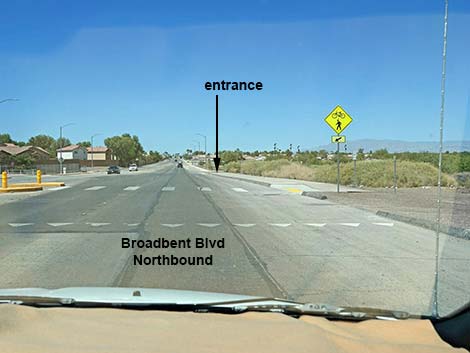 Northbound Broadbent approaching entrance to trailhead (view NW) |
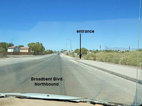 Northbound Broadbent approaching entrance to trailhead (view NW) |
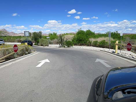
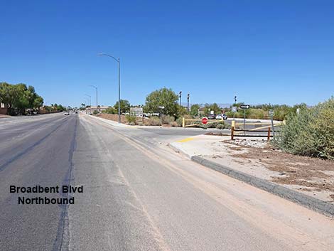 Northbound Broadbent at entrance to trailhead (view NW) |
 Northbound Broadbent turning into Duck Creek trailhead (view N) |
South side of sign at entrance to Duck Creek parking (view NW) |
 More to come ... |
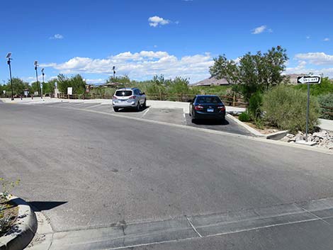
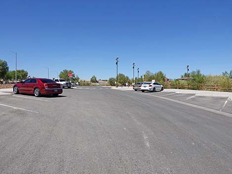
Duck Creek Parking Area
Broadbent Blvd entering Duck Creek trailhead parking |
South side of sign at entrance to Duck Creek parking (view NW) |
 |
 |
 |
 |
 |
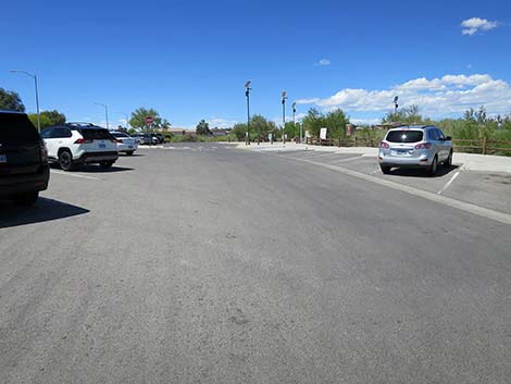 |
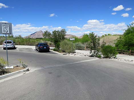
 Entering the trailhead parking area (view NW) |
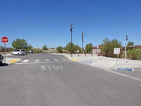
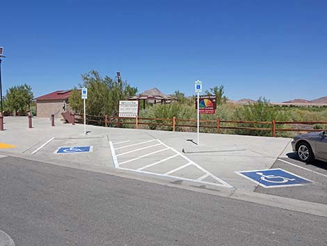 Reserved accessible parking (view NE) |
 Sign at entrance to Duck Creek parking (view NW) |
 General parking (view NW) |
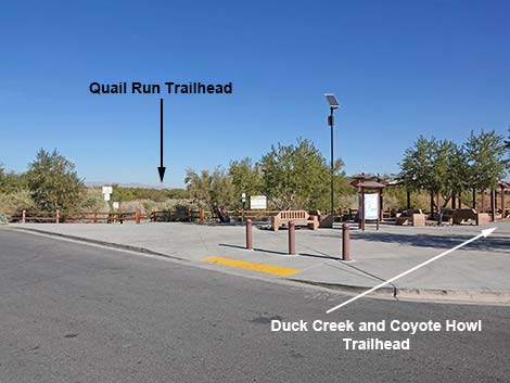
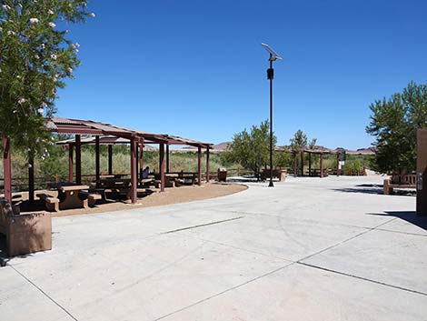
Picnic Area and Trailhead for Duck Creek and Coyote Howl Trails
 |
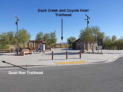 |
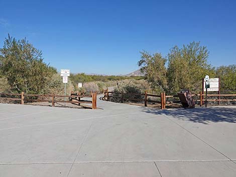
 Duck Creek Trailhead (view E) |
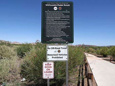
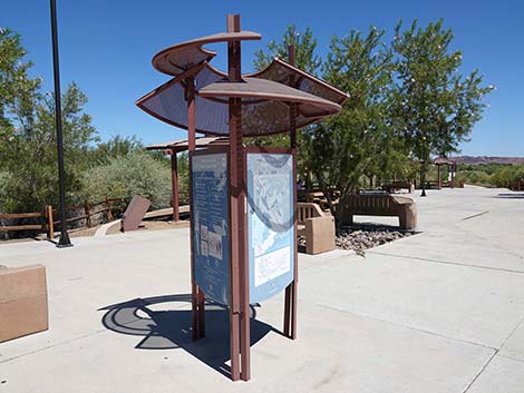 Information kiosk (view NE) |
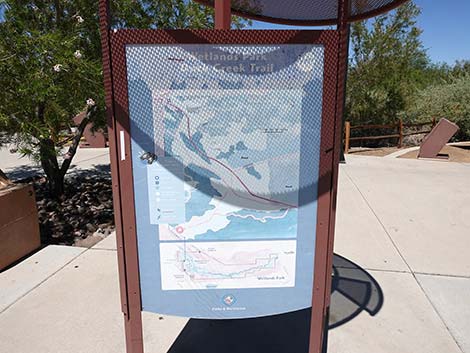 Information kiosk (view E) |
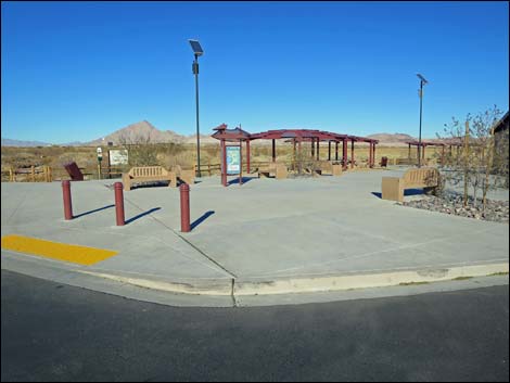
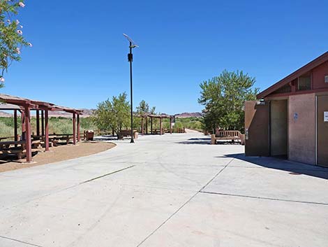
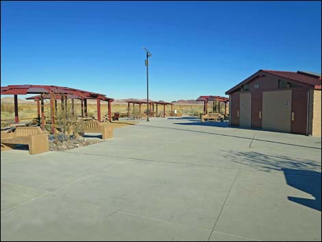 Duck Creek Trailhead picnic area (view E) |
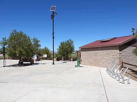 Duck Creek Trailhead bike parking and restroom building (view NE) |
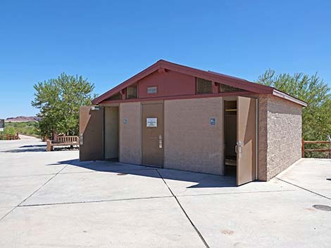 Duck Creek Trailhead restrooms (view E) |
 Duck Creek Trailhead picnic tables and restrooms (view E) |
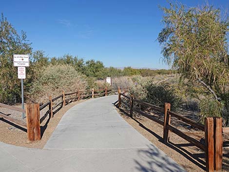
 Duck Creek Trail starts behind the picnic area (view E) |
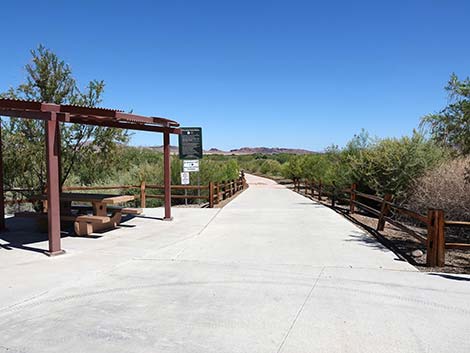 Duck Creek Trailhead (view E) |
 Duck Creek Trailhead sign (view E) |
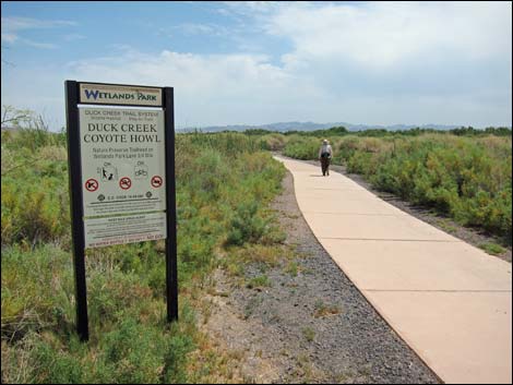 Sign a few yards down Duck Creek and Coyote Howl trails (view E) |
More to come ... |
Trailhead for Quail Run Trail
 Quail Run Trailhead at north edge of picnic area entrance (view N) |
 Sign at right side of Quail Run Trailhead (view N) |
 Start of Quail Run Trail (view N) |
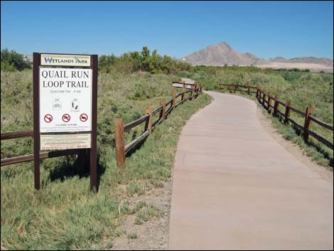 Quail Run Trailhead sign a few yards down the trail (view NE) |
Table 1. Highway Coordinates (NAD27; UTM Zone 11S). Download Highway GPS Waypoints (*.gpx) file.
| Site # | Location | Latitude (°N) | Longitude (°W) | UTM Easting | UTM Northing | Elevation (feet) | Verified |
|---|---|---|---|---|---|---|---|
| 0711 | Duck Creek Park Trailhead | 36.09357 | 115.02321 | 677968 | 3995935 | 1,603 | Yes |
Happy birding! All distances, elevations, and other facts are approximate.
![]() ; Last updated 240601
; Last updated 240601
| Birding Around Las Vegas | Southern Nevada Birds | Guide Service | Copyright, Conditions, Disclaimer | Home |