
Hiking Around Las Vegas, Avi Kwa Ame National Monument

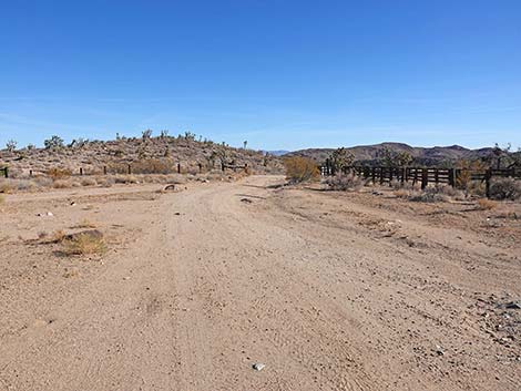 Grasslands Trail departing the trailhead (view SE) |
Overview The Grasslands Trail is a fairly easy, 4.1-mile loop that follows quiet dirt roads through a Joshua Tree forest carpeted with Mojave Desert bunchgrass species and with grand scenery in all directions. The mountain most sacred to the local native people, Avi Kwa Ame (Spirit Mountain) lies just across the valley and is visible from many parts of the trail. Hart Mountain, the high point in the Castle Mountains, lies just south of the trail. High peaks in the New York Mountains are most noticeable during the return hike. At the far side of the loop, the trail joins the historic Barnwell and Searchlight (B&S) Railroad grade. The highlight of the hike, however, is the dense grassland composed of some 12 species of grasses, including Big Galleta, Bush Muhly (Muhlenbergia porteri), and Fluffgrass, plus several rare species. Except for crossing one wash, the grades are easy, with a total descent of 350 ft. The Grasslands Loop Trail can be done as a loop or as an in-and-out hike from the B&S Railroad grade. Link to map. For more information, see Friends of Avi Kwa Ame NM and their PDF. |
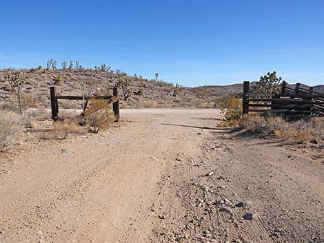 Grasslands Trail exiting the corral (view SE) |
Watch Out Other than the standard warnings about hiking in the desert, ...this hike is pretty safe when the weather is cool. During summer, this place can be too hot. The washes are subject to flash floods. The route follows old dirt roads that make for easy walking and reduces the risk of getting lost, but at the far side of the loop, there is a confusing 5-way road intersection with a cattle guard where hikers will want to pay attention and perhaps use a map. While hiking, please respect the land and the other people out there, and please try to Leave No Trace of your passage. This walk is fairly short, but bring what you need of the 10 Essentials. |
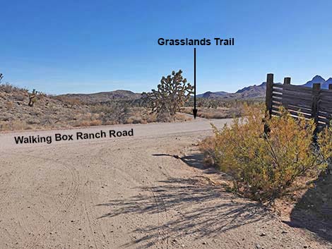 Grasslands Trail crosses Walking Box Ranch Road (view SE) Grasslands Trail crosses Walking Box Ranch Road (view SE) |
Getting to the Trailhead This hike is located in Avi Kwa Ame National Monument, about 1-1/4 hours south of Las Vegas. From town, drive south on Highway 95 through Henderson to Searchlight (58 miles out). In downtown Searchlight, turn right onto Highway 164 and drive west 7.0 miles to Walking Box Ranch Road. Turn left onto the graded-gravel Walking Box Ranch Road, pass the historical Walking Box Ranch, and continue another 7 miles to the Grasslands Trailhead. Park here, this is the trailhead. |
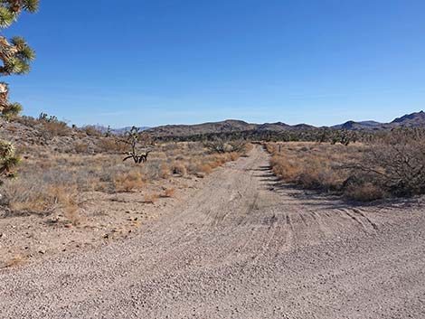 Grasslands Trail departing Walking Box Ranch Road (view SE) |
The Hike From the Grasslands Trailhead parking area (Table 1, Waypoint 01), the Grasslands Trail returns back to Walking Box Road, crosses the road, and continues southeast on a narrow two-track road (Wpt. 02). The trail quickly passes a carsonite "designated route" sign, which indicates that this backroad is open to vehicles, but it is little used. The Grasslands Trail continues southeast on this backroad passing through a forest of Joshua Trees with an understory of mostly-native grasses. The grasses here that grow in bunches, collectively called bunchgrasses, are all native. There are a few non-native grass species here too, but these grasslands are composed mostly of native species. When ranchers first entered this region, they described vast landscapes of bunchgrasses growing "belly-high to a horse." For a time, these grasses supported vast herds of cattle, but over-grazing and climate change have led to a great decrease in these grass species, leading to what we usually see in the desert today. All of this makes these remaining native Mojave Desert Grasslands especially special. |
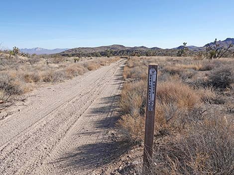 Grasslands Trail is a designated backroad (view SE) |
The Grasslands Trail runs southeast about 1.7 miles to a fenceline with a cattle guard (Wpt. 03), and here route-finding becomes confusing. Just past the fence, the backroad forks. Hikers can use either fork, as both rejoin in only a few yards. Where they rejoin (Wpt. 04), there are actually three forks merging. The Grasslands Trail bends hard to the right (almost 180 degrees) to head south. Where the three forks merge, it is worth stopping to note that this is the trace of the historical B&S Railroad. When the forks merge, the backroad straight ahead is the trace of the old railroad grade. Turning around to the right, this is also the railroad grade. Check the close-up map. The B&S Railroad was built during 1906 and 1907 to haul gold ore from Searchlight to Barnwell, California, some 23 miles away near the present-day town of Goffs. The Searchlight gold rush was short-lived, and by 1924 the railroad was abandoned. As with other abandoned railroad lines in the desert, the metal rails were removed and reused elsewhere, but the wooden ties were left, only to be scrounged by ranchers and used for railroad-tie buildings, fencing, and corrals. Most of the uprights at the Grasslands Trailhead Corral are recycled railroad ties. |
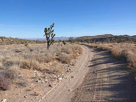 Avi Kwa Ame comes into view across Piute Valley (view SE) |
Note that the railroad trestles were also removed, so for drivers using this road and continuing south from here, the best thing to do is drive north on the railroad bed for a few yards to the next intersection and turn right on the Railroad Grade Bypass Road. This road bends around and heads south avoiding the missing bridge. Again, check the map. For hikers on the Grasslands Trail, where the forks merge (Wpt. 04), the trail turns hard to the right and continues south on the B&S Railroad grade. As expected for a railroad grade, the route runs straight, but after about 100 yards, the trail bends to the right. At the bend, hikers will notice "closed road" carsonite signs on the left. Here, the railroad grade continues straight, but it runs up to a cliff where a trestle once crossed a broad wash, and the railroad grade is no longer passable. Past the bend, the Grasslands Trail climbs onto a low rise with nice views out over a broad wash. The trail, still following a backroad, descends steeply into the sandy wash. Here, where there is more moisture in the soil, the plant community is quite different from that on the bluffs above. Look for Mojave Rabbitbrush, Cheesebush, and other species that can tolerate flooding, but also need more water. |
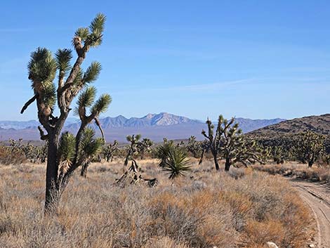 Spirit Mountain at 5639 ft -- 22 miles away (view SE) |
In the bottom of the broad wash, hikers encounter another backroad intersection (Wpt. 05). Here, a spur road runs left, down the wash, to connect with the Railroad Grade Bypass Road. Crossing the wash, the Grasslands Trail climbs steeply out of the wash following the old backroad. Back atop the bluff, hikers are again greeted with grand views up to the surrounding mountains and down into the wash. About 200 yards after climbing out of the wash, the Grasslands Trail arrives at a quail guzzler (Wpt. 06). Guzzlers collect precipitation on the metal roof and channel the water into partially buried water tanks. In the case of quail guzzlers, large animals are fenced out, but birds and smaller creatures can get under the fence and into the tank to drink. Continuing past the guzzler, the Grasslands Trail continues following the backroad uphill at a gentle grade. There are fewer grass species in this area, but perhaps more yucca plants, now including Banana Yucca. For drivers, there is one short section that is seriously off-camber. |
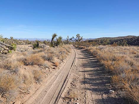 Grasslands Trail approaching a Mojave Yucca (view SE) |
After about 2.97 miles on the Grasslands Trail, hikers return to Walking Box Ranch Road (Wpt. 07). Here, the trail turns right, onto the graded road, and follows the road back to the Grasslands Trailhead (Wpt 01). Fortunately, Walking Box Ranch Road is little used, so hikers might expect to see no vehicles while walking 1.3 miles on the roadway. Workers at the mine arrive around dawn and leave about 4pm, but even that is only a half-dozen vehicles or so these days, although the mine hopes to ramp up operations in the future. I'm rarely a fan of hiking on a road suitable for a sedan, but walking this quiet road, far out in the desert, is a pleasant experience. In particular, the road is so smooth that hikers can stop watching where they put their feet and stop watching for rattlesnakes, and just enjoy a peaceful stroll gazing into the distance while watching Joshua Trees go by. A "Mile Marker 8" sign marks the midway point on the road. Hikers eventually return towards the corral, pass where the Grasslands Trail started down the backroad (Wpt. 02), and turn back into the trailhead parking area (Wpt. 01). |
Grasslands Trail Segment 1: Trailhead to B&S Railroad Grade
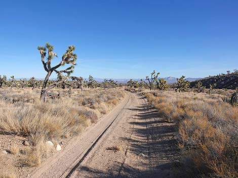 Grasslands Trail an Eastern Joshua Tree (view SE) |
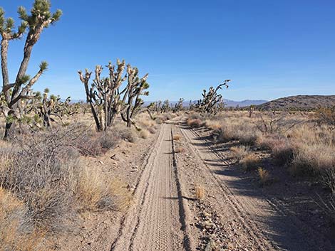 Grasslands Trail (view SE) |
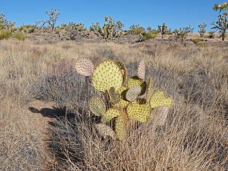 Rare Searchlight Pricklypear (Opuntia curvispina) |
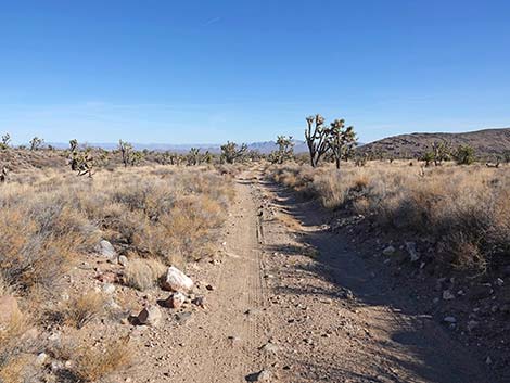 Grasslands Trail (view SE) |
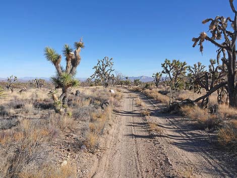 Grasslands Trail (view SE) |
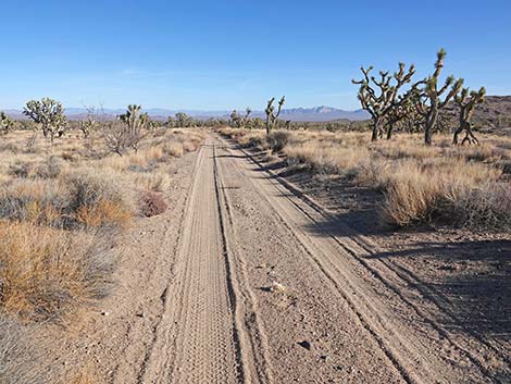 Grasslands Trail (view SE) |
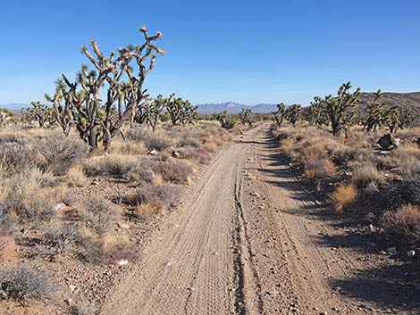 Grasslands Trail with lots of Joshua Trees (view SE) |
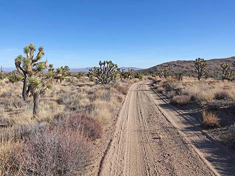 Grasslands Trail with Eastern Mojave Buckwheat (view SE) |
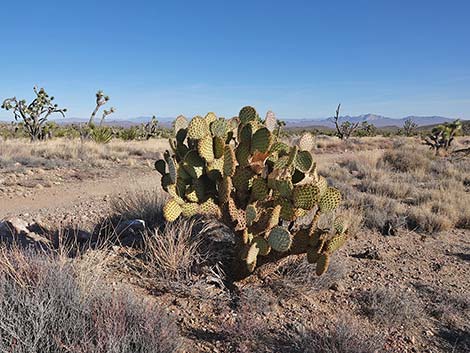 Pancake Pricklypear along the trail |
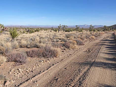 Grasslands Trail traversing Mojave Desert Grasslands (view SE) |
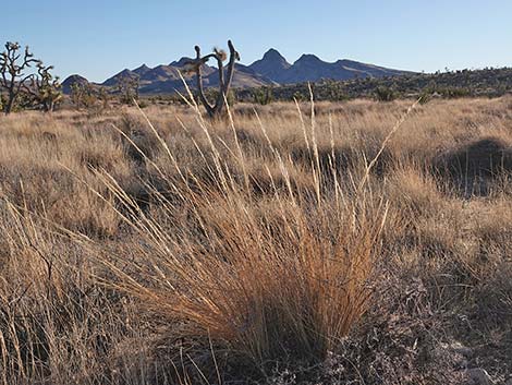 Desert Needle Grass is abundant along the trail (view S) |
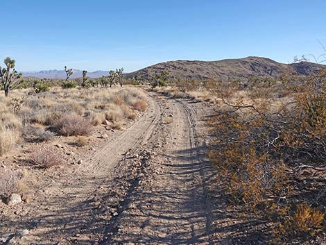 Grasslands Trail at a Creosote Bush (few in this area; view SE) |
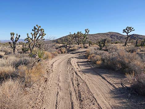 Grasslands Trail bending to cross a small wash (view SE) |
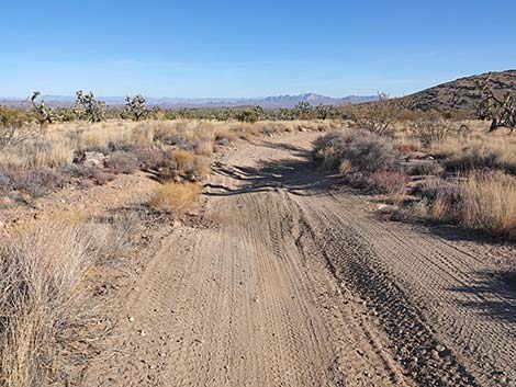 Grasslands Trail at a road washout (view SE) |
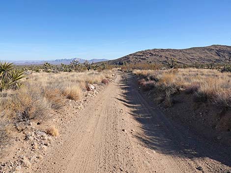 Grasslands Trail (view SE) |
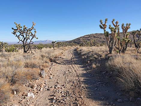 Grasslands Trail (view SE) |
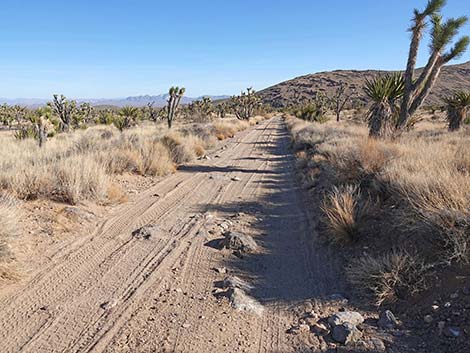 Grasslands Trail at a large rock in the road (view SE) |
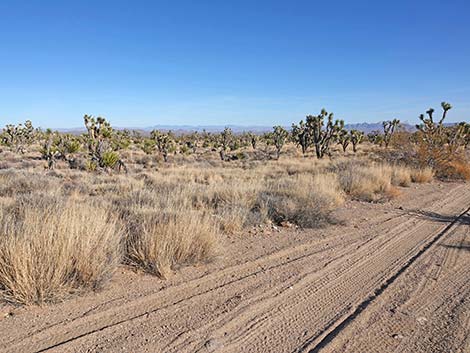 Mojave Desert Grasslands with Big Galleta Grass (view S) |
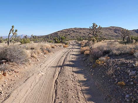 Grasslands Trail (view SE) |
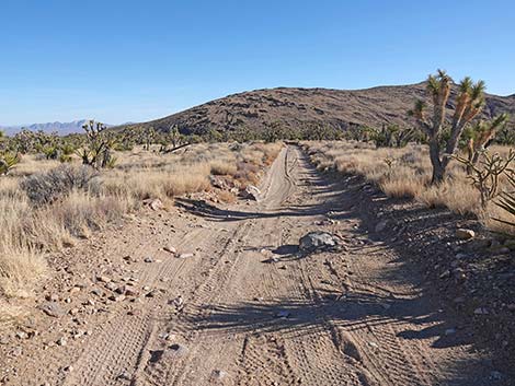 Grasslands Trail at another large rock in the road (view SE) |
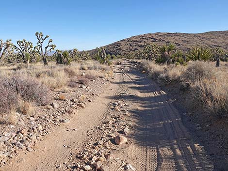 Grasslands Trail (view SE) |
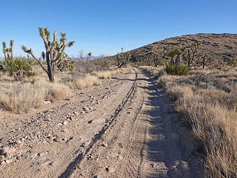 Grasslands Trail (view SE) |
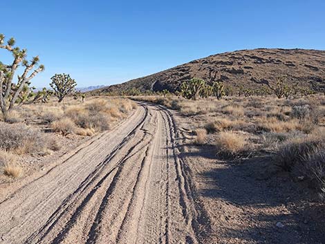 Grasslands Trail (view SE towards N edge of the Castle Mountains) |
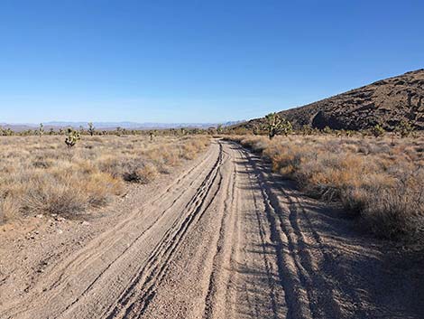 Grasslands Trail traversing open grasslands (view SE) |
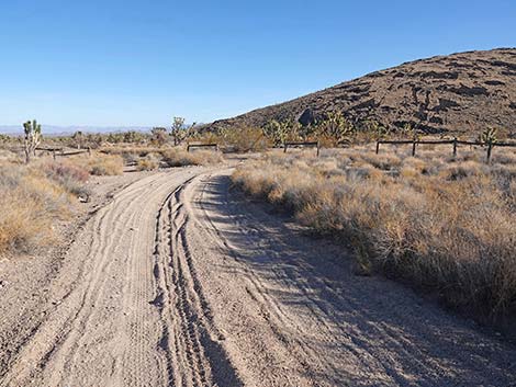 Grasslands Trail approaching a fenceline (view E) |
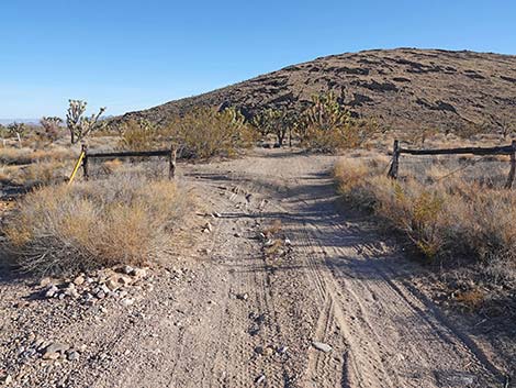 Grasslands Trail at a fenceline (view E) |
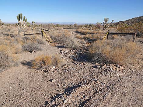 Grasslands Trail at an old cattle guard on the left (view E) |
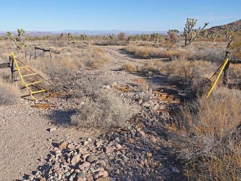 The old cattle guard is filling with flood debris (view E) |
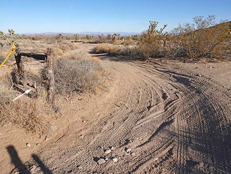 Grasslands Trail at benchmark next to the fenceline (view E) |
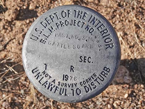 Benchmark next to fenceline marking cattle guard (view E) |
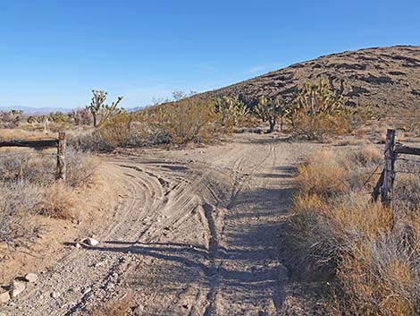 Grasslands Trail continues through the fence and forks (view E) |
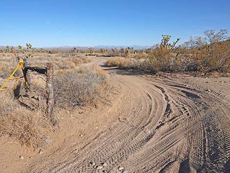 Grasslands Trail left fork (view NE) |
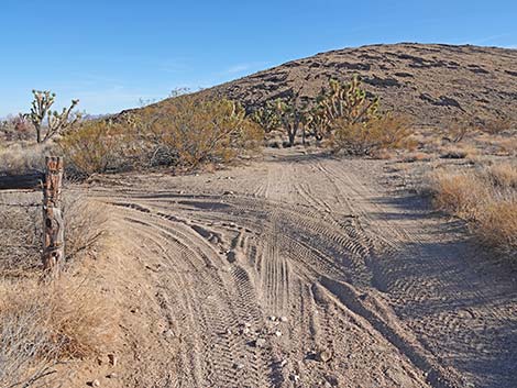 Grasslands Trail right fork (view E) |
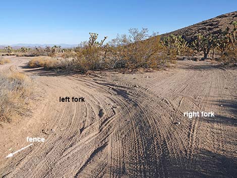 Past the fence, the road fork; the merge just ahead (view NE) |
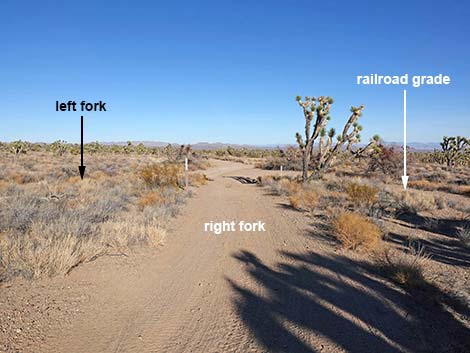 Both forks go; this is the right fork (view NE) |
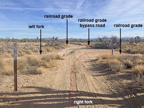 Right fork and left fork merge with another fork (view NE) |
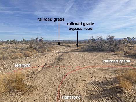 Complex 5-way intersection (view NE from right fork) |
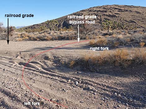 Complex 5-way intersection (view NE from left fork) |
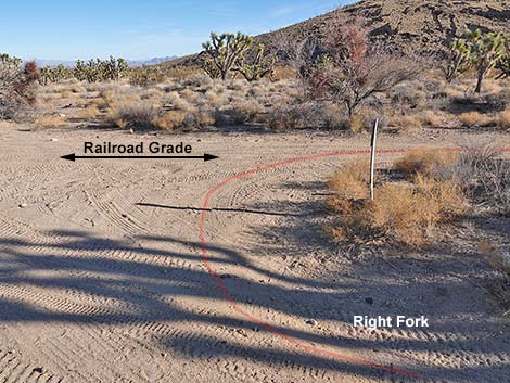 Grasslands Trail makes a U-turn onto the Railroad Grade (view E) |
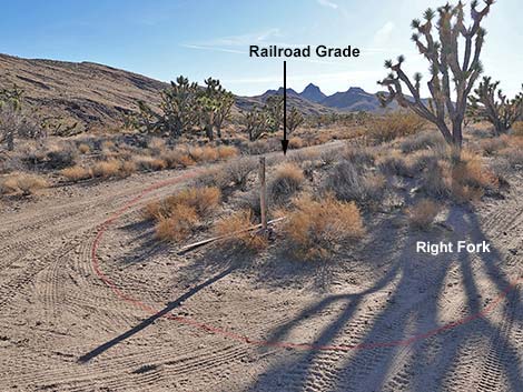 Grasslands Trail makes a U-turn onto the Railroad Grade (view S) |
Detour: B&S Railroad Grade Northeast beyond the Grasslands Trail
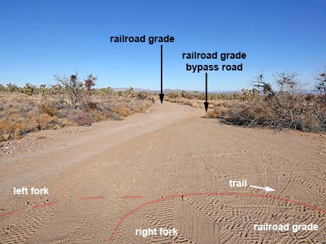 Railroad Grade continues, but Grasslands Trail bends right (view NE) |
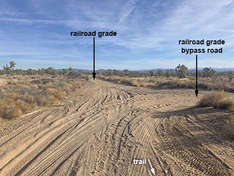 Railroad Grade at bypass road (view NE) |
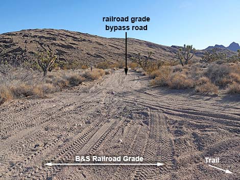 Bypass road avoids washouts (view SE from railroad grade) |
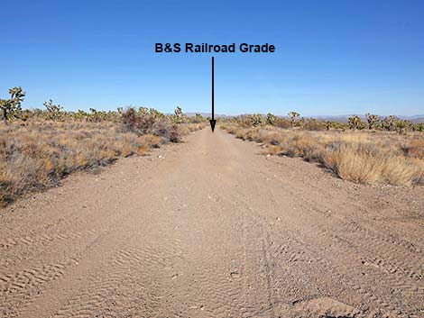 B&S Railroad Grade continues to Searchlight (view NE) |
Grasslands Trail Segment 2: B&S Railroad Grade to Walking Box Ranch Road
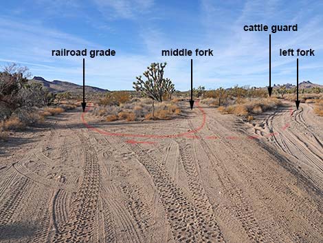 Looking back: Grasslands Trail loops hard to the right (view SW) |
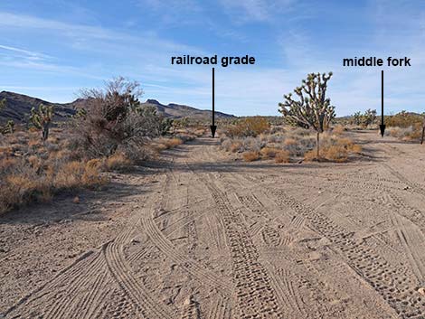 Grasslands Trail turns onto B&S Railroad Grade southbound (view SW) |
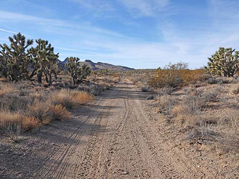 Grasslands Trail follows B&S Railroad Grade (view SW) |
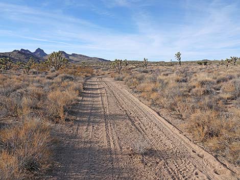 Grasslands Trail follows B&S Railroad Grade (view SW) |
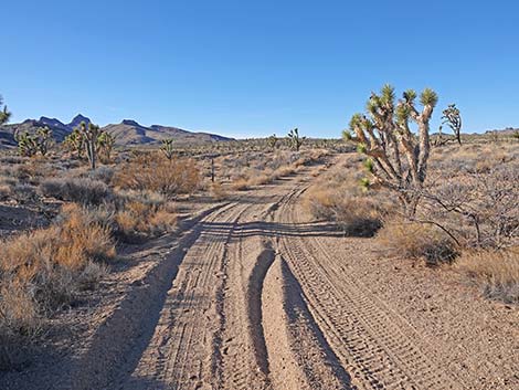 Grasslands Trail bends right (view SW) |
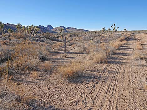 Grasslands Trail departs B&S Railroad Grade (view SW) |
Short Detour on B&S Railroad Grade to see the Missing Trestle
 Grasslands Trail departs B&S Railroad Grade (view SW) |
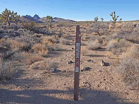 This part of the B&S Railroad Grade is closed to vehicles (view SW) |
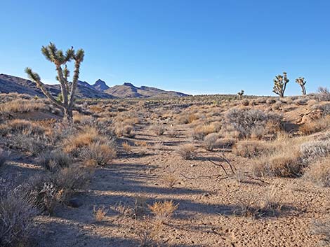 B&S Railroad Grade (view SW) |
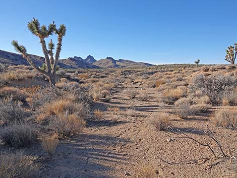 B&S Railroad Grade (view SW) |
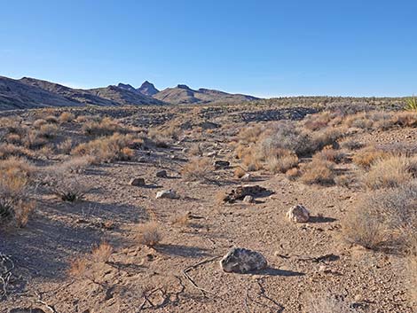 B&S Railroad Grade (view SW) |
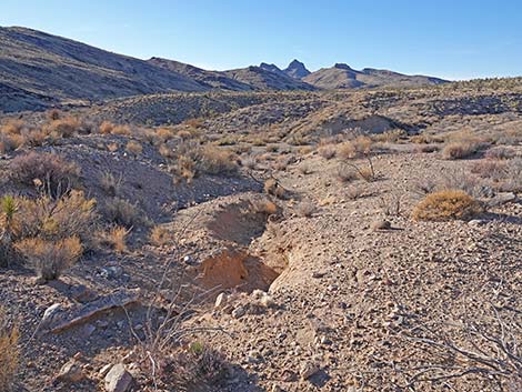 B&S Railroad Grade (view SW) |
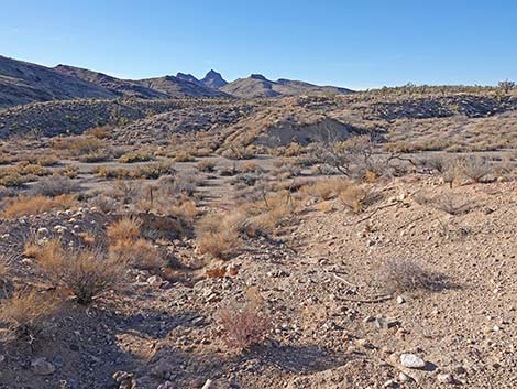 B&S Railroad Grade (view SW) |
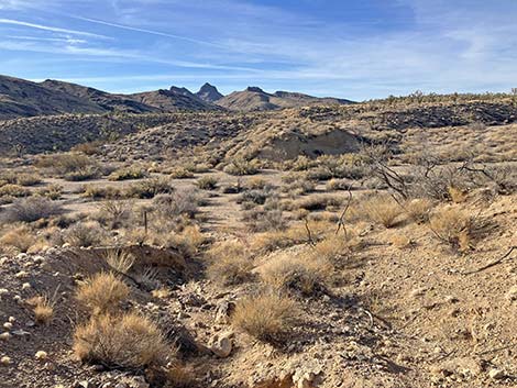 Closed B&S Railroad Grade -- bridge is missing (view SW) |
Continuing on the Grasslands Trail
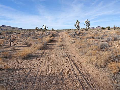 Grasslands Trail continues past B&S Railroad Grade (view SW) |
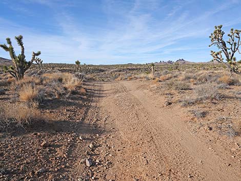 Grasslands Trail climbs onto a low ridge (view SW) |
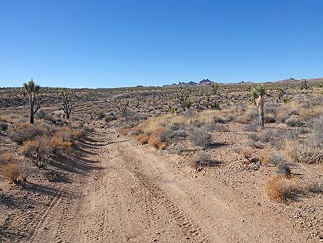 Grasslands Trail descends into broad wash (view SW) |
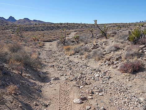 Grasslands Trail descending into broad wash (view SW) |
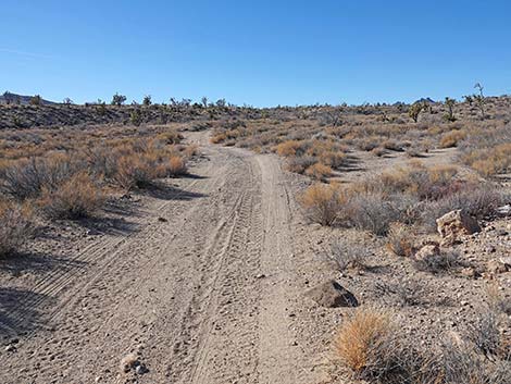 Grasslands Trail crosses broad wash (view SW) |
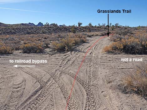 Grasslands Trail at intersection; left to railroad bypass (view SW) |
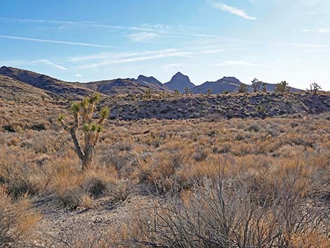 Hart Mountain in the distance (view S) |
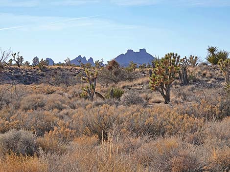 New York Mountains in the distance (view SW) |
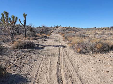 Grasslands Trail continues across broad wash (view W) |
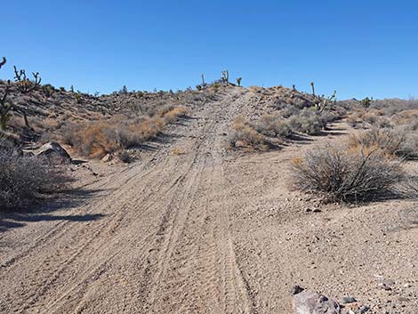 Grasslands Trail climbs out of the broad wash (view W) |
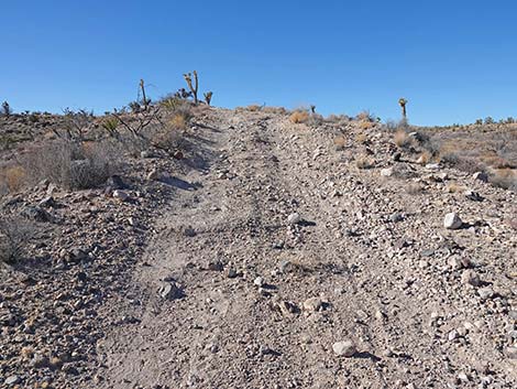 Grasslands Trail at steepest climb on the route (view W) |
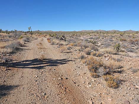 Grasslands Trail back on easy terrain (view W) |
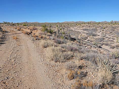 Grasslands Trail above the broad wash (view W) |
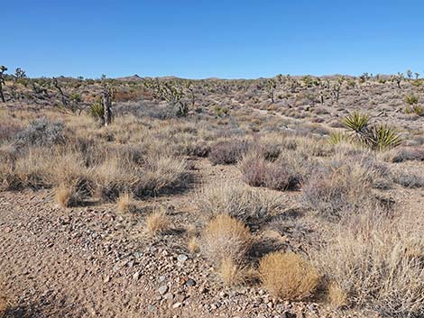 Grasslands Trail at last view of the broad wash (view W) |
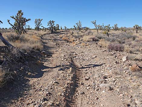 Grasslands Trail climbs at consistent, gentle grade (view W) |
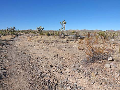 Grasslands Trail approaching a quail guzzler (view W) |
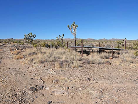 Grasslands Trail at a quail guzzler (view W) |
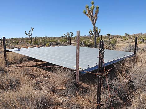 Quail guzzler (view SW) |
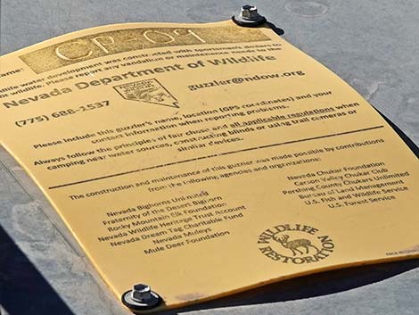 Quail guzzler have an ID number, this one is CP-09 (view SW) |
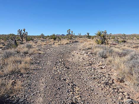 Grasslands Trail continues past the guzzler (view W) |
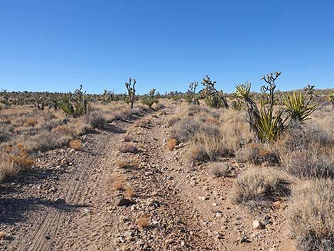 Grasslands Trail (view SW) |
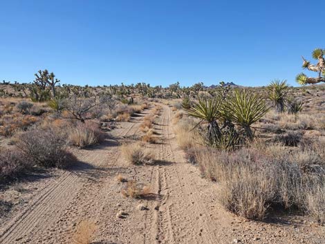 Grasslands Trail passing more Mojave Yucca (view SW) |
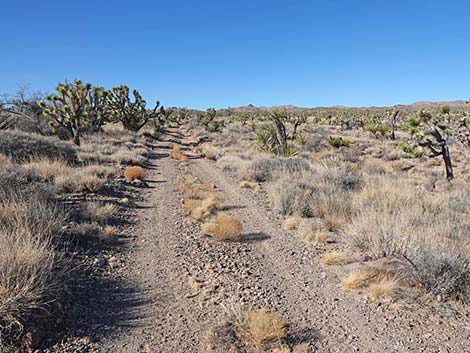 Grasslands Trail (view SW) |
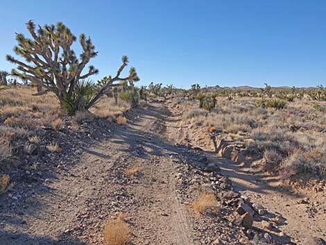 The road intersects a small wash (view SW) |
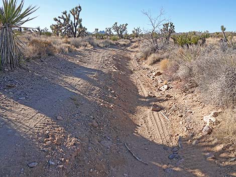 Part of road is washed out and seriously off camber (view SW) |
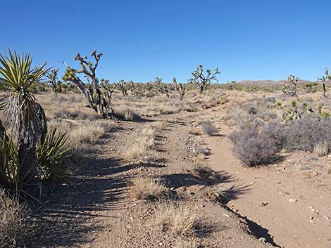 Grasslands Trail continues past the washout (view SW) |
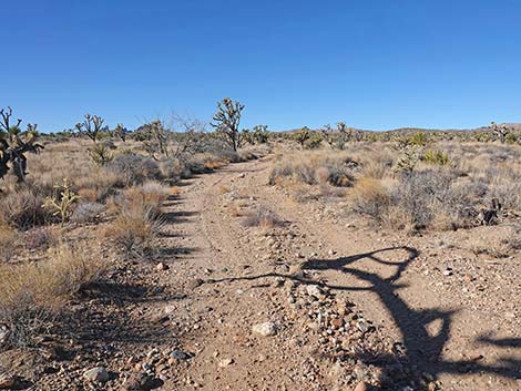 Grasslands Trail under Joshua Tree shadows (view SW) |
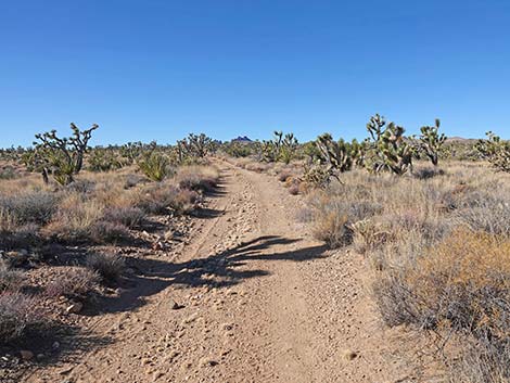 Grasslands Trail under Joshua Tree shadows (view SW) |
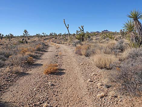 Grasslands Trail (view SW) |
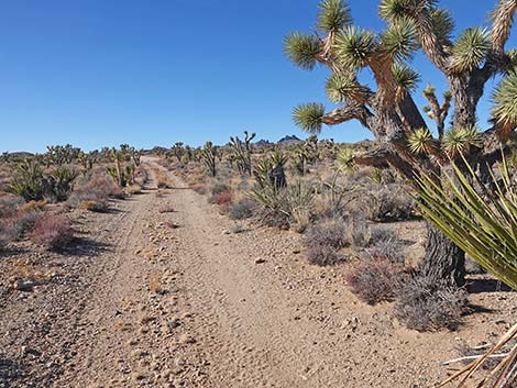 Grasslands Trail at more yucca species (view SW) |
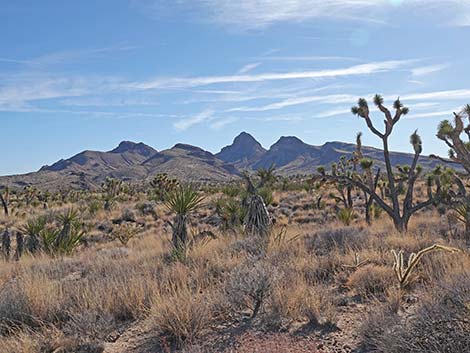 |
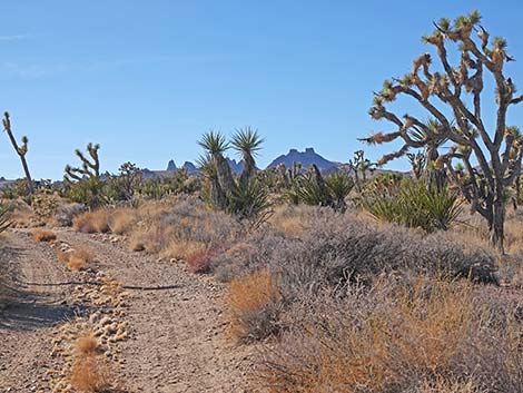 |
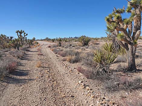 Grasslands Trail approaching Walking Box Ranch Road (view SW) |
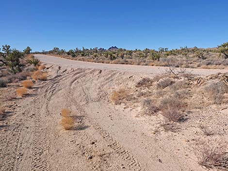 Grasslands Trail approaching Walking Box Ranch Road (view SW) |
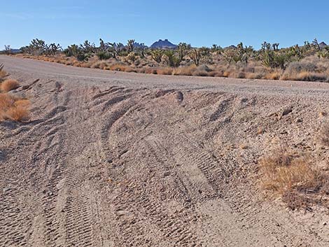 Grasslands Trail at Walking Box Ranch Road (view SW) |
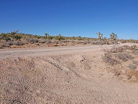 Grasslands Trail turns onto Walking Box Ranch Road (view NW) |
Grasslands Trail Segment 3: Walking Box Ranch Road back to the trailhead
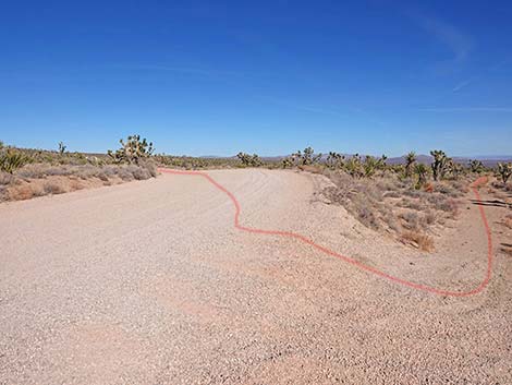 Grasslands Trail follows Walking Box Ranch Road (view NE) |
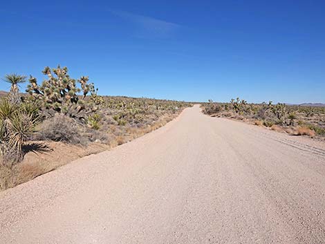 Grasslands Trail follows Walking Box Ranch Road (view NE) |
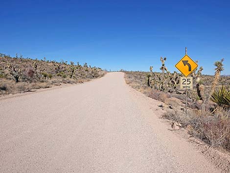 Grasslands Trail at curve sign (view NE) |
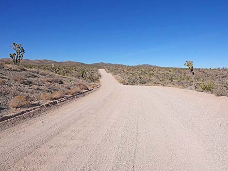 Grasslands Trail follows Walking Box Ranch Road (view N) |
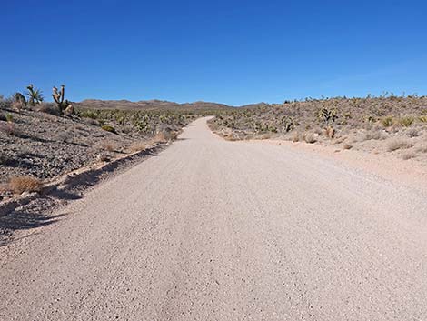 Grasslands Trail follows Walking Box Ranch Road (view NW) |
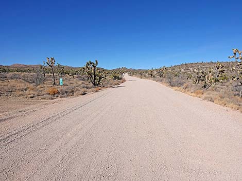 Grasslands Trail approaching a mile marker (view NW) |
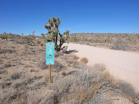 Grasslands Trail at Mile Marker 8 (view NW) |
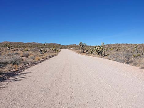 Grasslands Trail follows Walking Box Ranch Road (view NW) |
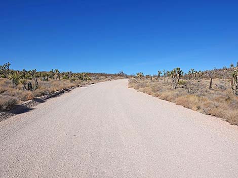 Grasslands Trail follows Walking Box Ranch Road (view N) |
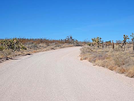 Grasslands Trail follows Walking Box Ranch Road (view N) |
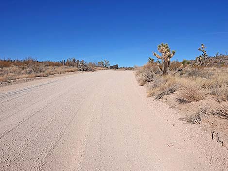 Grasslands Trail follows Walking Box Ranch Road (view N) |
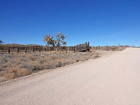 Grasslands Trail approaching the old corral (view N) |
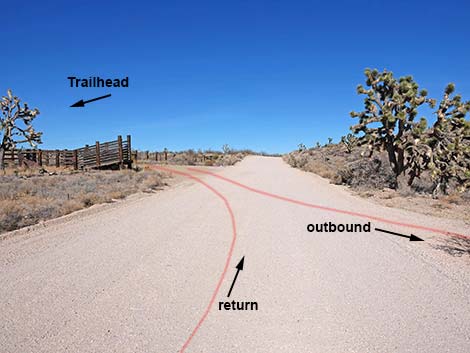 Grasslands Trail closing the loop (view N) |
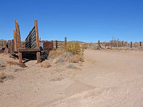 Grasslands Trail passing the old corral (view W) |
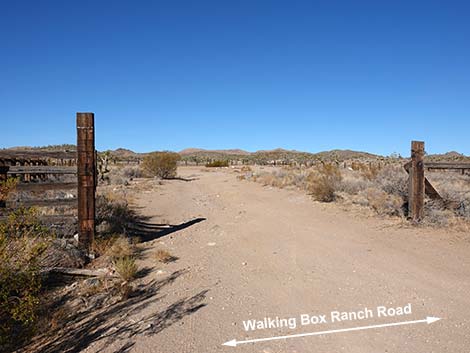 Grasslands Trail re-entering the old corral (view W) |
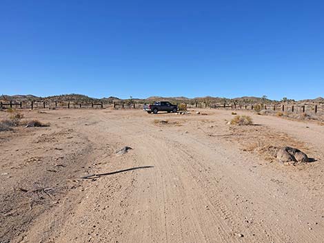 Grasslands Trail returning to the trailhead parking area (view W) |
Table 1. Hiking Coordinates Based on GPS Data (NAD27, UTM Zone 11S). Download Hiking GPS Waypoints (*.gpx) file.
| Wpt. | Location | UTM Easting | UTM Northing | Elevation (ft) | Point-to-Point Distance (mi) | Cumulative Distance (mi) |
|---|---|---|---|---|---|---|
| 01 | Grasslands Trailhead | 673875 | 3918660 | 4,328 | 0.00 | 0.00 |
| 02 | Grasslands Trail Departs WBR Road | 673956 | 3918590 | 4,311 | 0.07 | 0.07 |
| 03 | Grasslands Trail at Cattle Guard | 676212 | 3917487 | 3,996 | 1.62 | 1.69 |
| 04 | Grasslands Trail at B&S Railroad | 676258 | 3917484 | 3,989 | 0.03 | 1.72 |
| 05 | Grasslands Trail Crossing Big Wash | 676100 | 3917328 | 3,974 | 0.14 | 1.86 |
| 06 | Grasslands Trail at Quail Guzzler | 675714 | 3917266 | 4,042 | 0.25 | 2.11 |
| 07 | Grasslands Trail Returns to WBR Road | 674417 | 3916994 | 4,201 | 0.86 | 2.97 |
| 01 | Grasslands Trailhead | 673875 | 3918660 | 4,328 | 1.16 | 4.13 |
Happy Hiking! All distances, elevations, and other facts are approximate.
![]() ; Last updated 250103
; Last updated 250103
| Avi Kwa Ame | Hiking Around Las Vegas | Glossary | Copyright, Conditions, Disclaimer | Home |