Backroads Around Las Vegas, Avi Kwa Ame National Monument
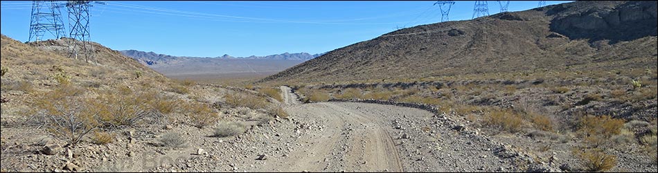
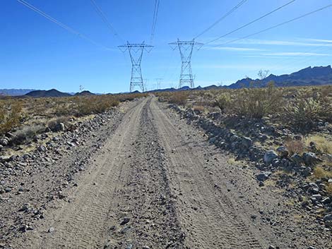
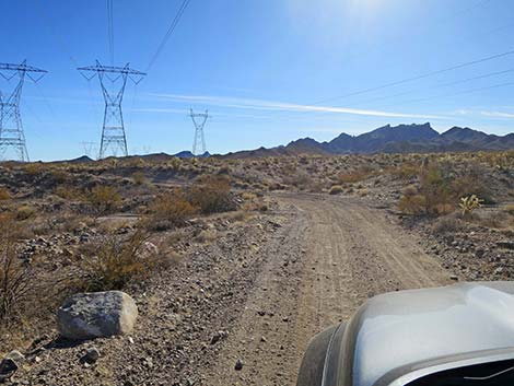
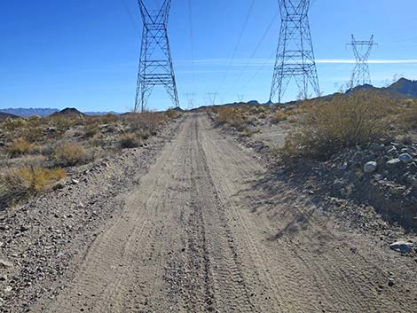
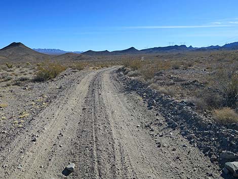
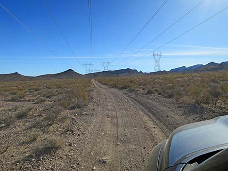
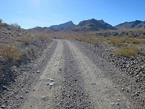
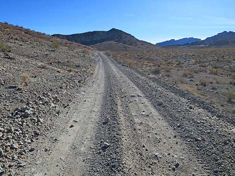
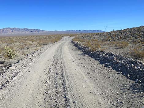
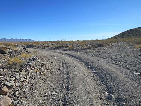
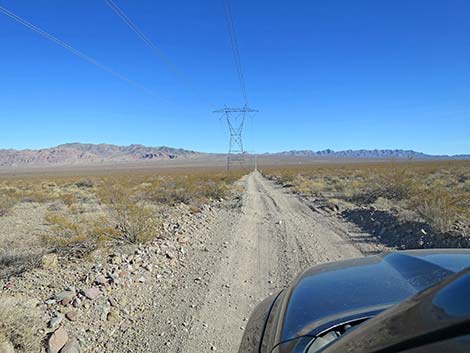
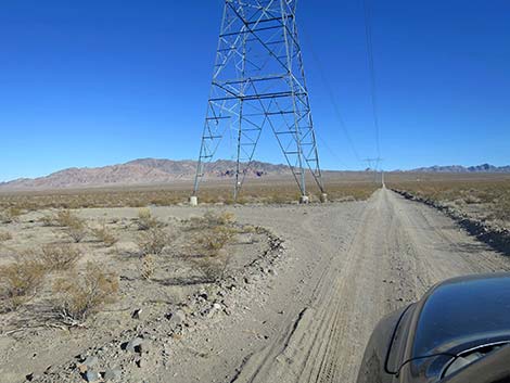
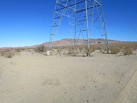
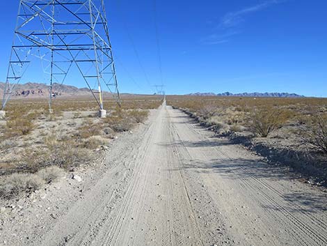
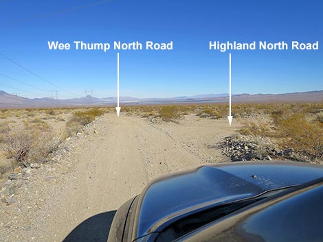 Wee Thump West Road at Highland Range North Road (view N) |
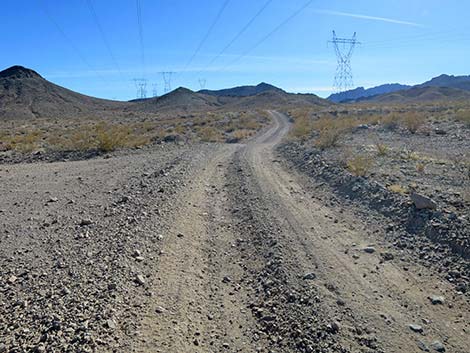
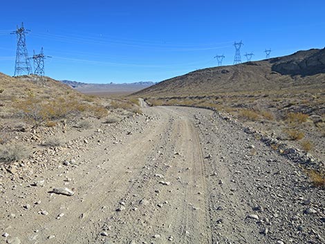
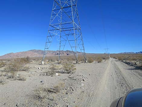
Overview Highland Range North Road (eastbound) is a graded powerline road that runs more or less east-west connecting the northern portion of Wee Thump West Road with the northwest end of Highland Range East Road, and then across Eldorado Valley to the pavement at Highway 95. This road provides access to the northern portion of the Highland Range with great views of towering cliffs, deep canyons, and broad desert flats. The road runs under powerlines the entire way, which detracts from the grand scenery, although, ignoring this, the scenery is grand. At each power tower, there is a pull-out area where visitors can stop to enjoy the scenery and perhaps camp or eat a picnic lunch. Under normal conditions, this road is passable in any medium-clearance vehicle. Flash floods can create sandy conditions where the road washes out in the bottom of sandy Eldorado Valley. Link to map. |
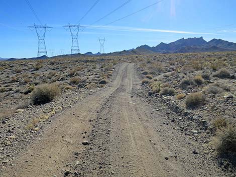
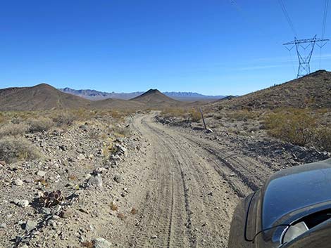
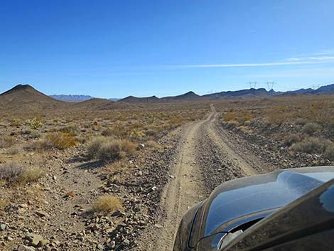
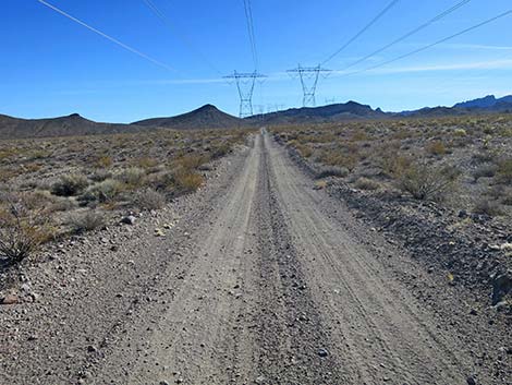
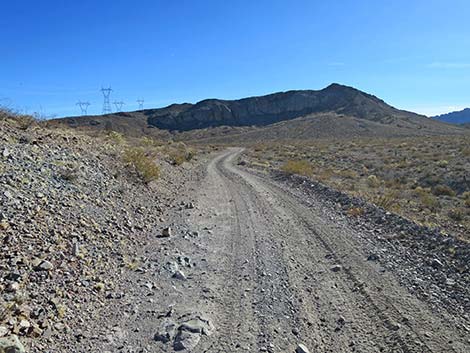
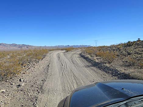
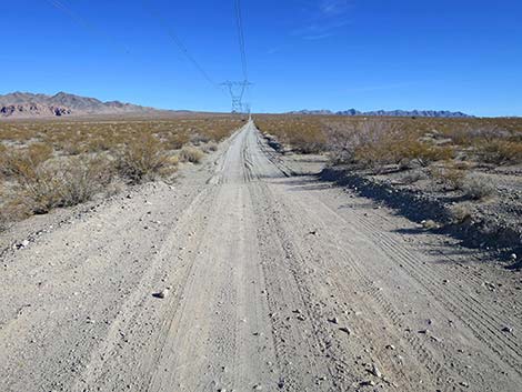
 Turning right onto Highland Range North Road (view NE) |
Watch Out Other than the standard warnings about driving in the desert, ...this road is pretty safe when the weather is cool. If the weather is hot, this place can be unbelievably hot. In the bottom of Eldorado Valley, flash floods can create soft, sandy conditions where the road crosses several washes. The road is subject to flash floods in several areas, and several ditches cross the road. There is one particularly rocky spot towards the middle of the road; however, careful drivers should have no trouble here in medium-clearance vehicles. While out, please respect the land and the other people out there, and please try to Leave No Trace of your passage. Be sure to bring what you need of the 10 Essentials. |
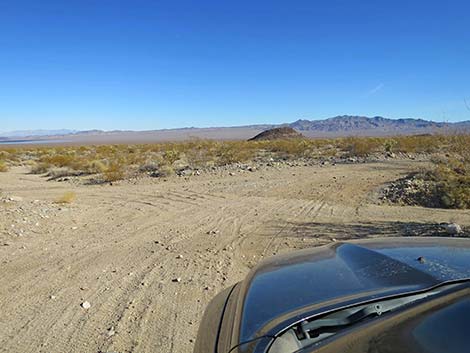
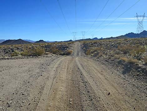
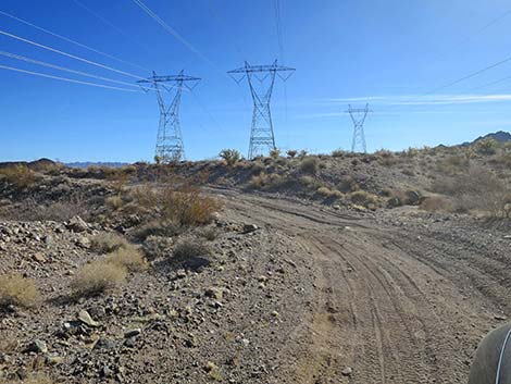
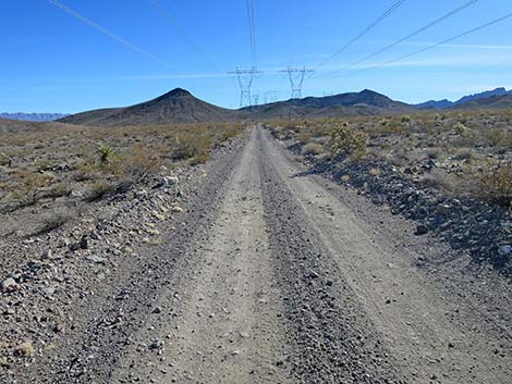
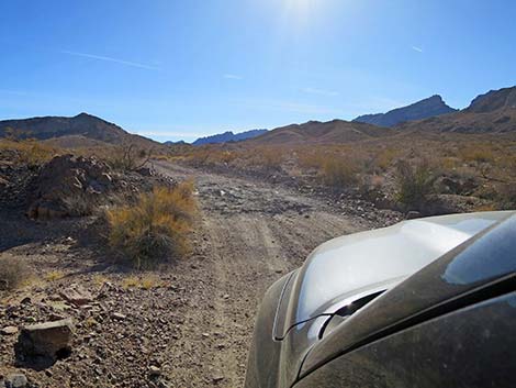
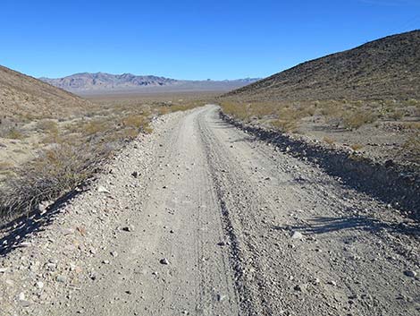
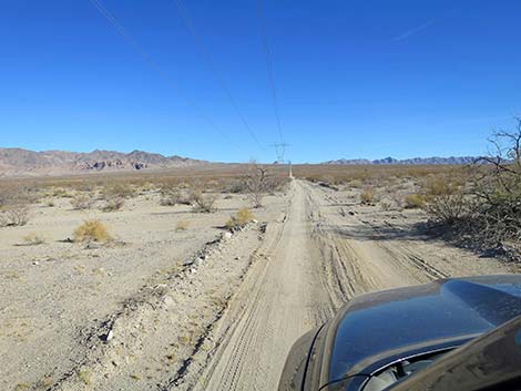
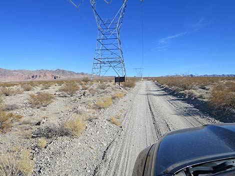
 Beginning of Highland Range North Road (view SE) |
Getting to the Roadhead Highland Range North Road is located north of Searchlight, Nevada, about 40 minutes south of downtown Las Vegas. From town, drive south on Highway 95 (Interstate-11) through Henderson. After leaving the Las Vegas Valley, exit I-11 to the right staying on Highway 95 towards Searchlight. From I-11, continue south 20 miles. The highway passes the turnoff to Nelson on the left, passes the last of the solar farms on the right, passes the Avi Kwa Ame National Monument boundary sign, and arrives at high-tension powerlines crossing the highway. Exit here to the right onto Highland Range North Road (Site 1974), which is graded dirt. Watch for a stop sign at the intersection. A BLM sign by the first power tower provides limited information about the area. Alternatively, drivers can continue south to Searchlight, turn right onto Highway 164, and drive west to Wee Thump West Road, which is dirt. On the dirt, drive north 16.2 miles to the west end of Highland North Road (Site 1972). |
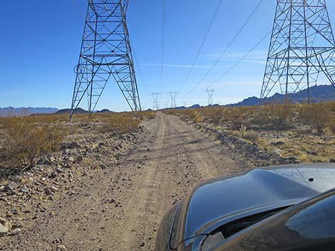
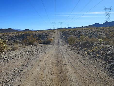
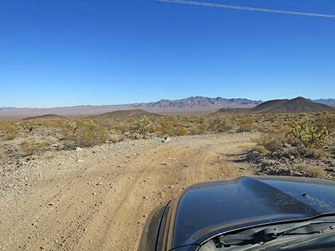
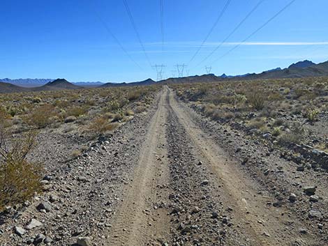
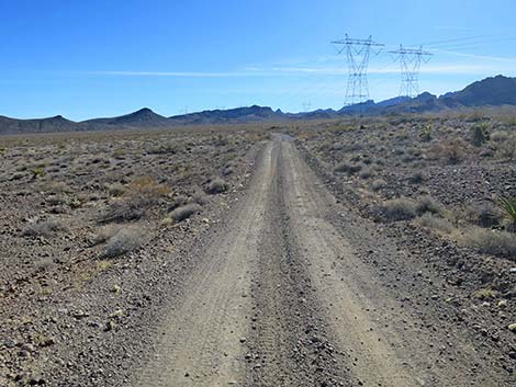
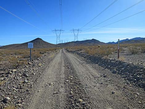
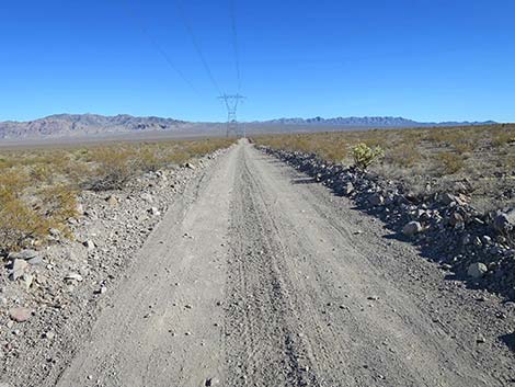
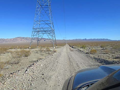
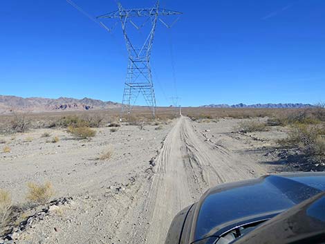
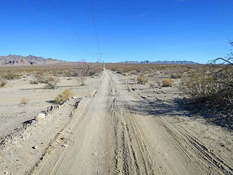
 The road runs beneath powerlines for several miles (view S) |
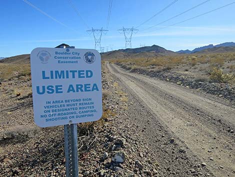
The Road From the northern end of Wee Thump West Road (Site 1972), Highland Range North Road runs southeast across desert flats heading towards the northeast corner of the Highland Range. At about 0.9 miles out, the road winds through a deep ravine, and then resumes traversing desert flats. At about 1.4 miles out, the road begins to wind over a low ridge and soon descends onto desert flats on the other side. At about 2.3 miles out, the road passes a small, white sign, announcing entry into the Boulder City Conservation Area. In total, the road passes through a small sliver at the southwest corner of the conservation area. Soon the road curves more towards the south and begins winding over a higher ridge than the first one. In this area, at about 2.7 miles out, the road crosses a small, rocky section that is the worst part of the road but can be driven carefully in any 2WD-medium clearance vehicle. |
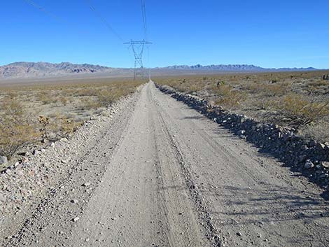
 Highland North Road approaching a steep-sided wash (view S) |
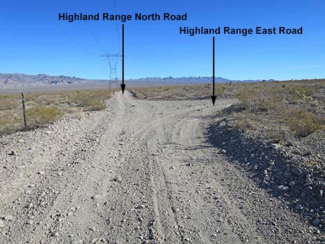
The road climbs onto a low saddle (3.0 miles out) with nice views of the area, then descends to the southeast towards the desert flats below. In this area, the road follows a barbed-wire fence on the right. Eventually, the road curves right and forks. The right fork goes over a cattle guard while the left fork does not, but either way, the road exits the Boulder City Conservation Area (3.5 miles out) and the two forks merge. After winding through foothills onto the east side of the Highland Range, Highland Range North Road bends hard to the left and soon arrives at a T-intersection (Site 1974; 3.8 miles out) with Highland Range East Road. This road follows powerlines along the east edge of the Highland Range all the way to Highway 164. Now heading due east, Highland Range North Road descends gently into the bottom of Eldorado Valley. In the lowest points, the road crosses washes that can be sandy. Beyond the sandy washes, the road climbs gently until ending at Highway 95 (Site 1975; 6.7 miles out). |
 Highland North Road drops through a steep-sided wash (view S) |
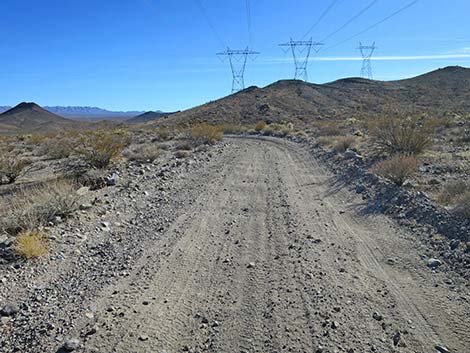
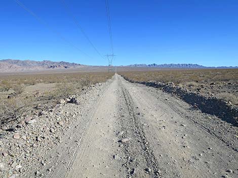
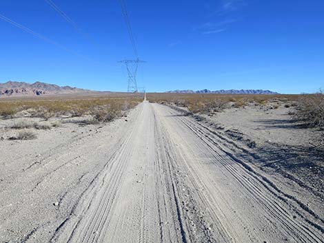
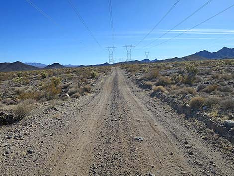 Highland Range North Road (view S) |
 Highland Range North Road winding over low hills (view SE) |
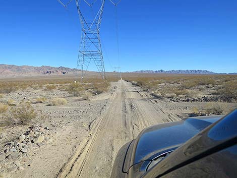
 Highland Range North Road (view SE) |
 Highland Range North Road curving across the hillside (view SE) |
 Highland Range North Road curving back to the south (view E) |
 Highland Range North Road (view SE) |
 Highland Range North Road (view SE) |
 Highland Range North Road approaching the next curve (view SE) |
 Highland Range North Road at a high point (view SE) |
 Highland Range North Road winding down off the hill (view SE) |
 Highland Range North Road dropping towards desert flats (view SE) |
 Highland Range North Road crossing desert flats (view SE) |
 Highland Range North Road at a rocky curve (view SE) |
 Highland Range North Road crossing desert flats (view SE) |
 Highland Range North Road crossing desert flats (view SE) |
 Highland Range North Road crossing desert flats (view SE) |
 Highland Range North Road approaching signs (view SE) |
 Road enters the Boulder City Conservation Area (view S) |
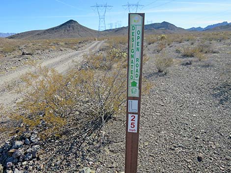 Designated road #L25 |
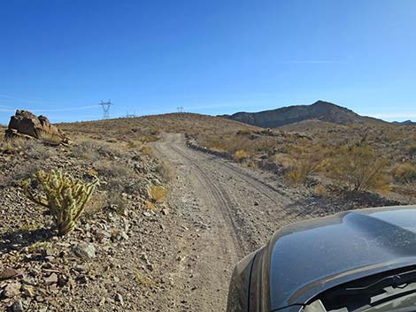
 Highland Range North Road climbing into the hills (view SE) |
 Highland Range North Road climbing into the hills (view SE) |
 Highland Range North Road climbing into the hills (view SE) |
 Highland Range North Road at a short, rocky spot (view SE) |
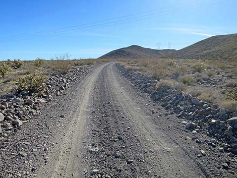
 Highland Range North Road begins climbing into the hills (view S) |
 Highland Range North Road climbing into the hills (view SE) |
 Highland Range North Road climbing into the hills (view SE) |
 Highland Range North Road climbing into the hills (view SE) |
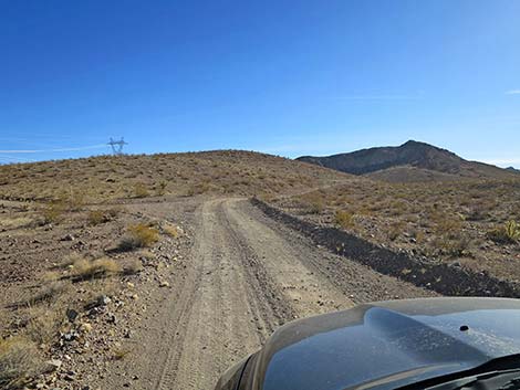
 High point on Highland Range North Road (view SE) |
 Highland Range North Road descending into the valley (view SE) |
 Highland Range North Road (view SE) |
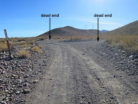
 Highland Range North Road forks for no apparent reason (view SE) |
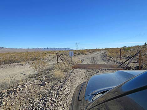 The right fork crosses a cattle guard, but the left does not (view SE) |
 The two forms merge again (view SE) |
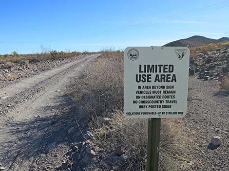
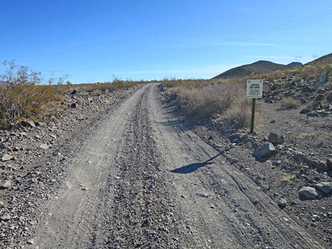 Approaching a BLM Limited Use Area sign (view SE) |
 Exiting the Boulder City Conservation Area (view SE) |
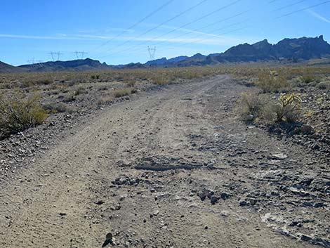
 Highland Range North Road continues (view S) |
 Highland Range North Rd bends left at a 4-way intersection (view S) |
 Highland Range North Road curving left (view S) |
 Highland Range North Road heads out across Eldorado Valley (view E) |
 Highland Range No. Rd approaching Highland Range East Rd (view E) |
 Highland Range North Road continues across Eldorado Valley (view E) |
 Highland Range North Road (view E) |
 Approaching an overly signed restoration area (view E) |
 Highland Range North Road (view E) |
 Crossing one of many little washes (view E) |
 Each power tower has a work pad (view E) |
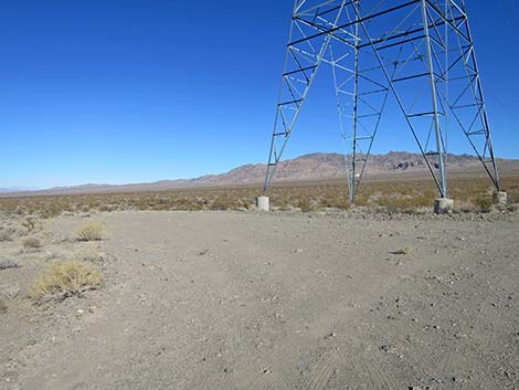 Power-tower work pads make nice campsites (view NE) |
 Crossing a larger, sometimes sandy wash (view E) |
 Approaching another power-tower work pad (view E) |
 Power-tower work pads make nice campsites (view NE) |
 Approaching another sandy wash (view E) |
 Crossing the big sandy wash (view E) |
 Highland Range North Road (view E) |
 Highland Range North Road (view E) |
 Approaching another sandy wash (view E) |
 Highland Range North Rd approaching an information kiosk (view E) |
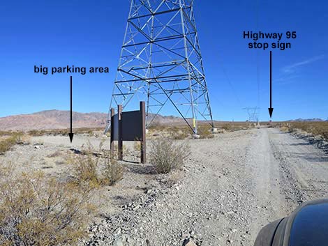 Information kiosk and parking area (view E) |
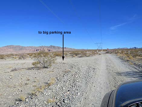 The parking area makes a U around the power tower (view E) |
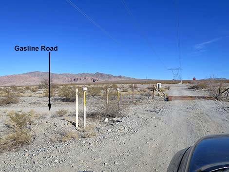 Gasline road along outside of highway fence (view E) |
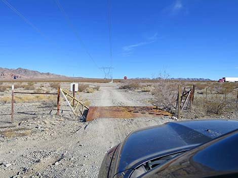 Highland Range North Rd at cattle guard in highway fence (view E) |
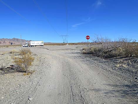 Highland Range North Rd approaching a stop sign (view E) |
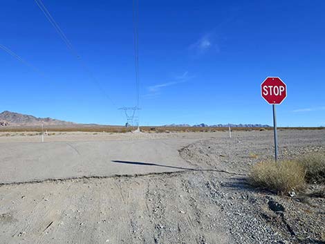 Highland Range North Rd ends at stop sign (view E) |
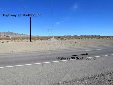 Southbound Highway 95 and clear median strip (view E) |
Table 1. Hiking Coordinates Based on GPS Data (NAD27, UTM Zone 11S). Download GPS Waypoints (*.gpx) file.
| Wpt. | Location | Latitude (N) | Longitude (W) | Elevation (ft) | Point-to-Point Distance (mi) | Cumulative Distance (mi) |
|---|---|---|---|---|---|---|
| 1972 | Wee Thump W Rd at Highland N Rd | 35.71510 | 115.04622 | 2,517 | 0.00 | 0.00 |
| 1973 | Highland N Rd at Highland E Rd | 35.67418 | 115.01011 | 2,658 | 3.80 | 3.80 |
| 1974 | Highland N Rd at Highway 95 | 35.66930 | 114.95876 | 2,685 | 2.94 | 6.74 |
Happy Hiking! All distances, elevations, and other facts are approximate.
![]() ; Last updated 250203
; Last updated 250203
| Avi Kwa Ame | Backroads Around Las Vegas | Glossary | Copyright, Conditions, Disclaimer | Home |