(AKA North Crescent Road)
Backroads Around Las Vegas, Basin and Range National Monument
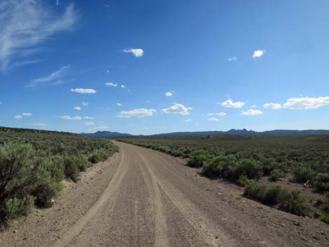
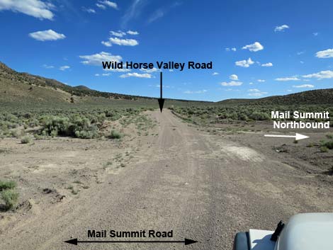 Wild Horse Valley Road departing Mail Summit Road (view S) |
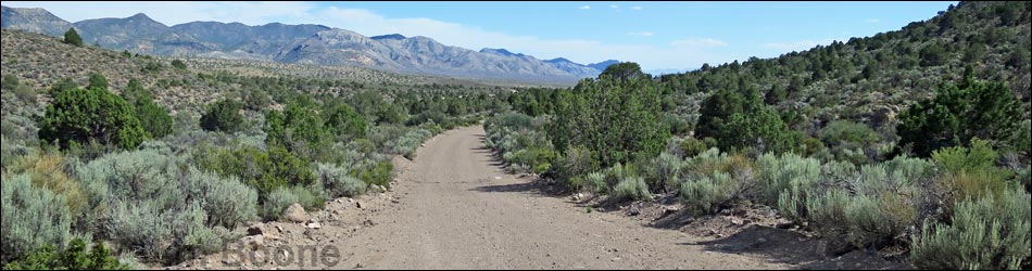
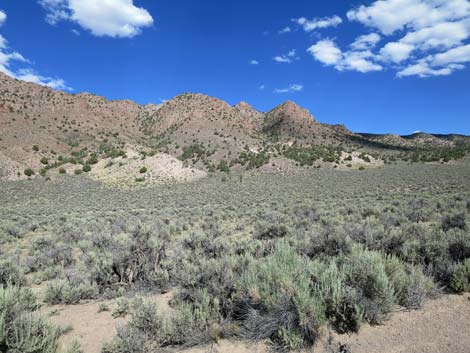
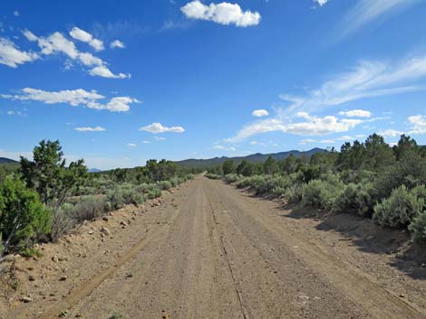
Overview Wild Horse Valley Road, also called North Crescent Roadm is a well-maintained, 24-mile dirt road that runs between Mail Summit Road (just west of Murphy Gap) in the north with Highway 375 in the south. Wild Horse Valley Road normally is suitable for 2WD vehicles, but it can be muddy. Running up Wild Horse Valley, the road traverses Great Basin Desert where the dominant vegetation in the valley is Big Sagebrush. In the mountains, the road runs over a low saddle between the Tempiute Range to the west and the Mount Irish Range to the east. In this area, the road runs through Pinyon-Juniper Woodlands. In the south, the road runs down into Mojave Desert Scrub vegetation as it descends towards the highway. The road, therefore, spans the transition zone between the Great Basin Desert and the Mojave Desert. Presented here are photos of the road southbound. For a detailed description of the road, including maps and GPS waypoints, see Wild Horse Valley Road - Northbound. |
 Big Sagebrush and colorful peaks (view SW) |
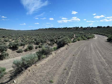
 Side road to Sand Springs Valley (view S) |
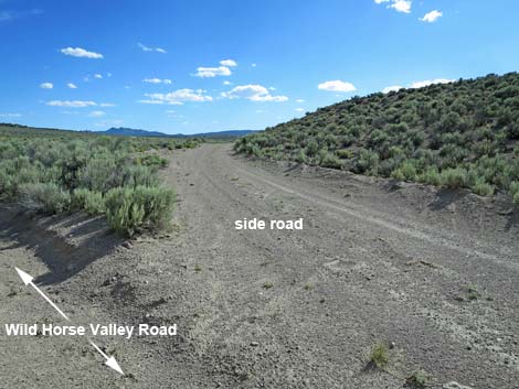 Side road to Sand Springs Valley (view SW from main road) |
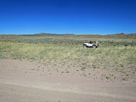
 Shepherd's camp (view SW) |
 Shepherd's camp (view W) |
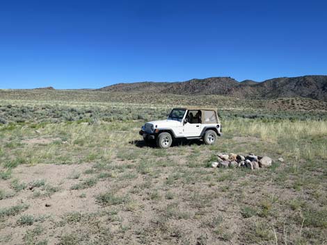 Shepherd's camp (view W) |
 |
 |
 |
 |
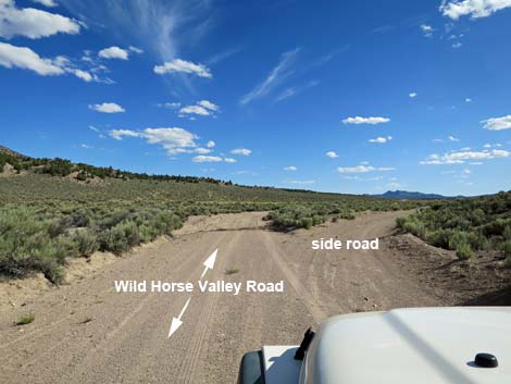
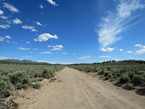
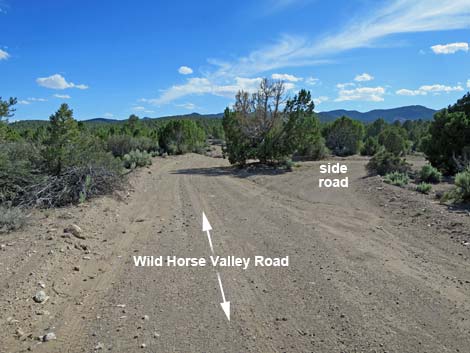
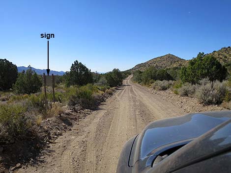
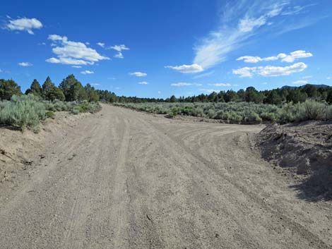 Approaching a side road right (view S)
 |
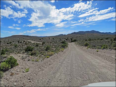
 Side road merging from the left (view S) |
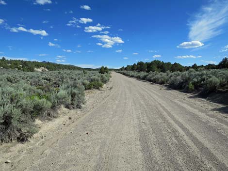
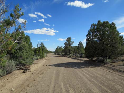
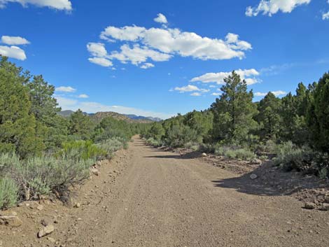
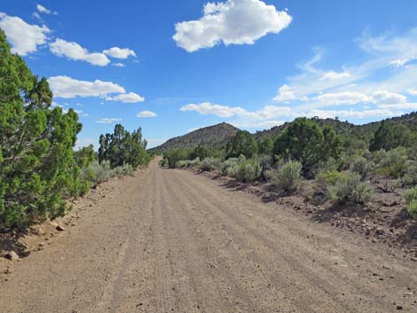
 Climbing into the Pinyon-Juniper Woodland zone (view S) |
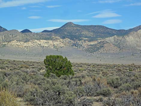
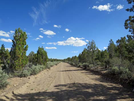 Singleleaf Pinyon Pine and Utah Juniper (view S) |
 |
 |
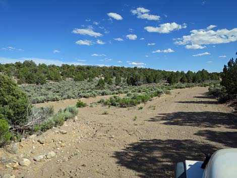
 Side road right to Sand Springs Valley (view S) |
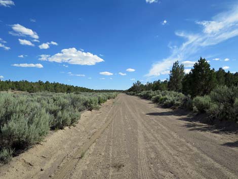
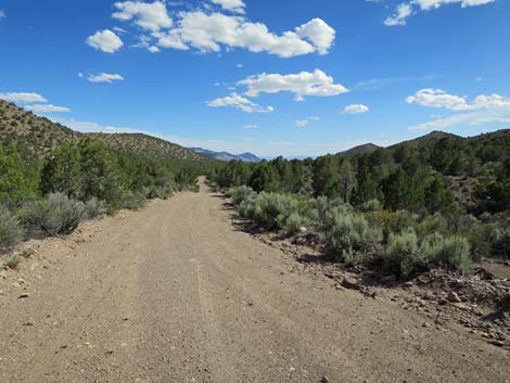
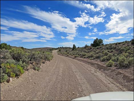
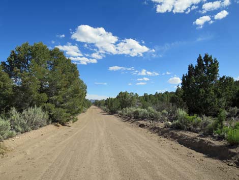 Pinyon-Juniper Woodland zone (view S) |
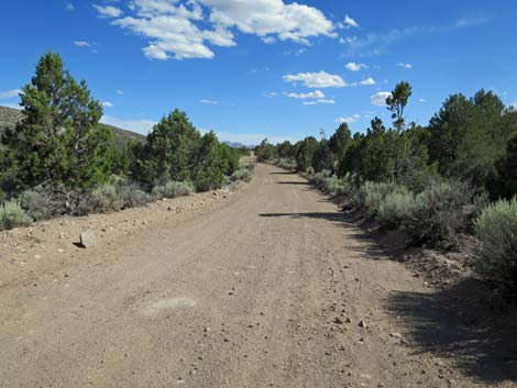 Pinyon-Juniper Woodland zone (view S) |
 Crossing the highpoint along the road (view S) |
 |
 |
 |
 |
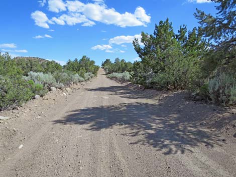
 Descending out of the Pinyon-Juniper Woodland zone (view S) |
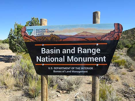
 Wild Horse Valley Road exiting Basin and Range NM (view SW) |
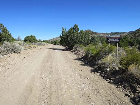 Looking back at boundary sign (view NE) |
 Looking back at boundary sign (view NE) |
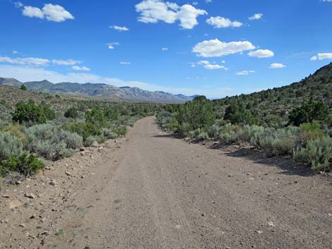
 Entering the Mojave Desert Scrub zone (view S) |
 Mojave Desert Scrub zone (view S) |
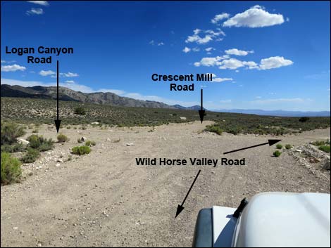 Wild Horse Valley Road at Logan Pass Road |
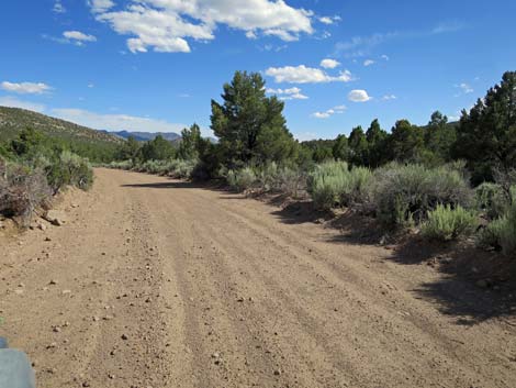
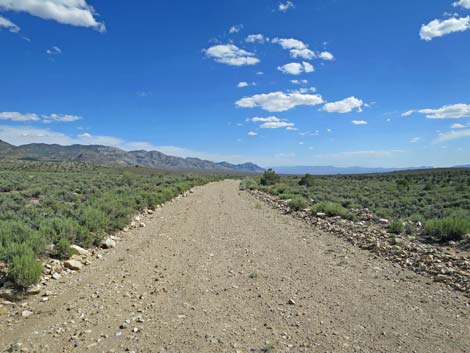
 Winding across the hills (view W) |
 Winding across the hills (view S) |
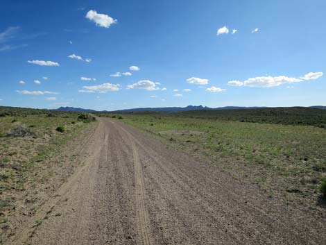
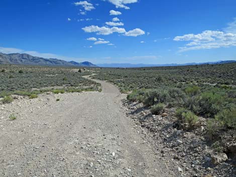
 Long, straight road (view S) |
 Last of the junipers (view E towards Mt. Irish Wilderness Area) |
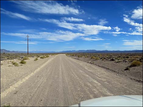
 Long, straight road (view S) |
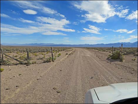 Passing a fenceline (view S) |
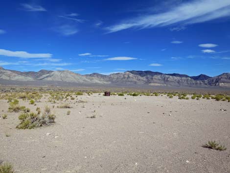 Old wellhead (view E from Wild Horse Valley Road) |
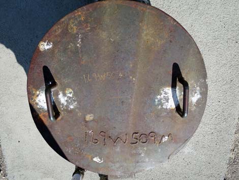 Cover on well |
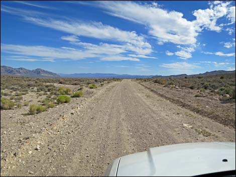
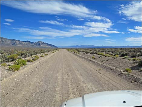
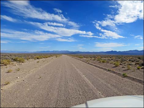 Wild Horse Valley Road runs long and straight (view S) |
 Wild Horse Valley Road runs long and straight (view S) |
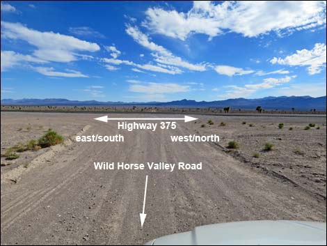 Wild Horse Valley Road at Highway 375 (view S) |
Happy Hiking! All distances, elevations, and other facts are approximate.
![]() ; Last updated 241019
; Last updated 241019
| Basin and Range | Backroads | Hiking Around Las Vegas | Glossary | Copyright, Conditions, Disclaimer | Home |