Backroads Around Las Vegas, Desert National Wildlife Refuge
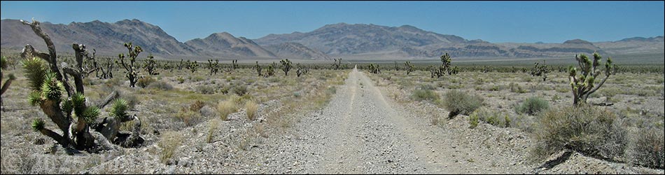
 Corn Creek Road at Alamo-Mormon Well roads intersection (view E) |
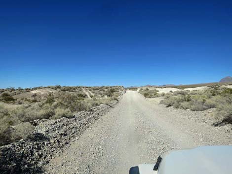
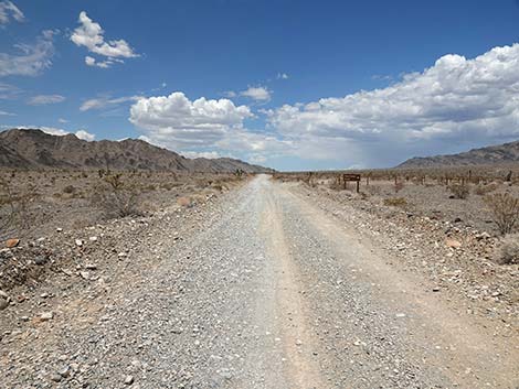
The Road -- Corn Creek Road to Hidden Forest Road From Corn Creek Road, Alamo Road heads north leaving the desert oasis and passing mesquite-stabilized sand dunes on the left and the Sheep Range on the right. Eventually the road bends right and heads northeast to Hidden Forest Road, a total of 14.8 miles. This road usually is graded and suitable for carefully driven medium-clearance vehicles. After storms, however, the road can be badly wash from the many little washes that cross the road. This part of Alamo Road provides access to campsites, Joe May Canyon (with campsites), Cow Camp Road (with campsites), and some interesting desert birding in the mesquite thickets. Link to map. See Alamo Road for GPS coordinates. |
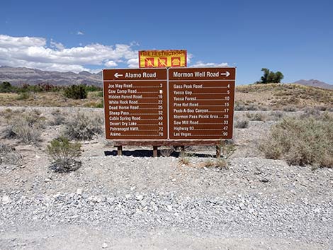 Highway sign at intersection (view E) |
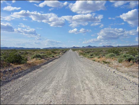
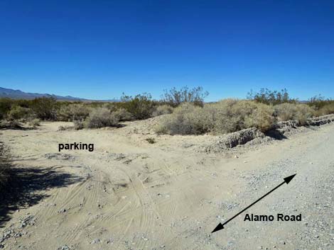
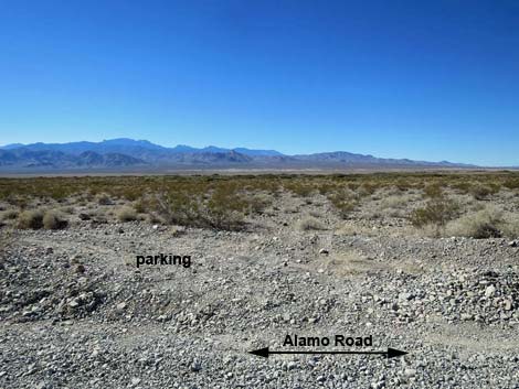
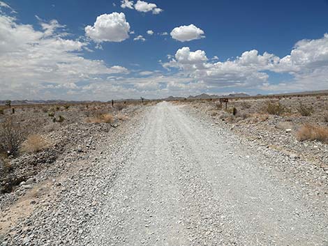
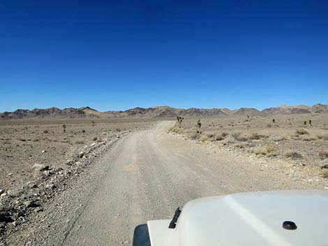
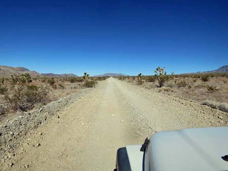
The Road From the T-intersection (Site 1295; mile 0.0) with Corn Creek Road, Alamo Road turns left and runs slightly west of north, climbing over a low ridge and running out into the desert. Shortly, the road passes parking areas on the left and right. There is no camping adjacent to the oasis. Continuing northward, the road runs straight and nearly level. During the first mile, the road passes through an area of sand dunes grown over by thickets of Honey Mesquite trees. These stabilized dunes provide habitat for migrating and resident birds, plus several species of mammals and reptiles. Before the Las Vegas Valley was developed, much of it was covered by similar mesquite-dune habitat. The road continues straight for most of 4 miles as it cuts across and gently up the bajada and passing several primitive campsites. There are no culverts under the road, so dozens of tiny washes flow across the road. In recent years, road conditions have deteriorated, but it is normally suitable for 2WD-HC vehicles. |
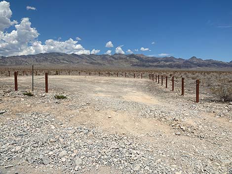
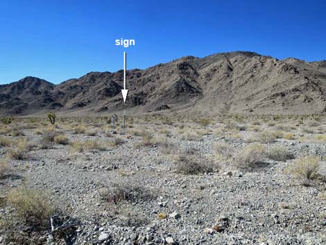
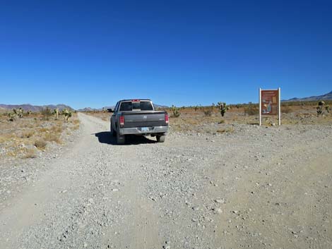
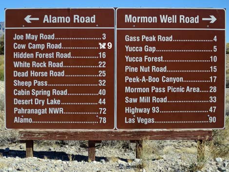 Sign at the intersection of Corn Creek Road, Alamo Road, and Mormon Well Road (view E) |
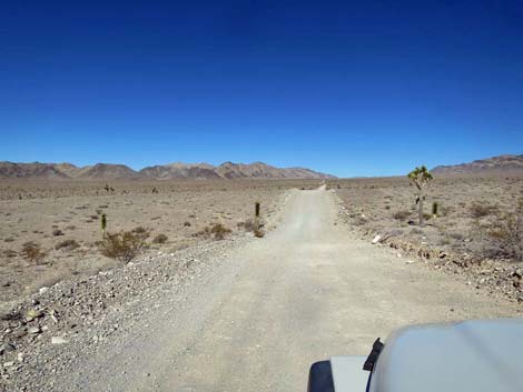
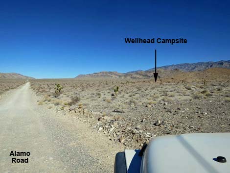
Alamo Road eventually reaches Joe May Road (Site 0780; 3.1 miles) on the right. Joe May Road normally is a fine 2WD-HC road that runs up the bajada for about 4 miles to undeveloped campsites and trailhead for hikes in Joe May Canyon and Black Gate Canyon. About 1/2 miles past Joe May Road, Alamo Road begins a gradual curve to the left. The road now contours across the bajada at a gradual incline for about 3 miles. The rills and washouts are a bit more frequent and deeper than before, and towards the end of this section, the road bounds across several deep gullies. Keep an eye out for unexpected southbound vehicles bounding over the ridges between the gullies. At about 7 miles out, the road curves right to begin climbing the bajada more steeply while heading north-northeast. Approaching a low hill on the right, Alamo Road passes Wellhead Camp Road (Site 1336; 7.5 miles), on the right. Wellhead Camp Spur Road runs east about 80 yards to Wellhead Campsite. Here, campers are welcome to walk through the post-and-cable fence and camp near the old well casing. |
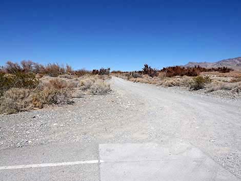 Corn Creek Road turning onto Alamo Road (view N) |
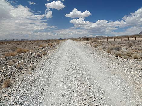
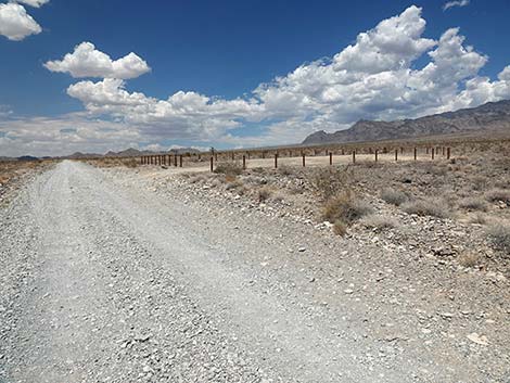
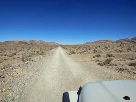
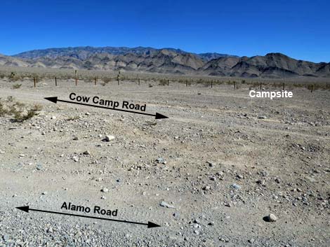
Continuing north, Alamo Road arrives at Cow Camp Road (Site 0992; 8.7 miles). Cow Camp Road is a good, 2WD-HC road that leads up an interesting canyon (can be sandy) through the Black Hills to the Sheep Range. This road leads to hikes (e.g., Cow Camp Spring) and undeveloped campsites. Continuing, Alamo Road makes a slight curve to the right at about 10 miles out, and here the road runs along the base of the Desert (Mountain) Range (on the left). From here until Alamo Road curves east at Desert Dry Lake, the road runs near the boundary of the Nellis Bombing Range. In places, boundary and warning signs can be seen in the hills, but in general, visitors should not stray too far off the west side of the road. I've seen the boundary marked differently on various official maps, so I don't know exactly where the "shoot first and ask questions later" boundary is located, but I focus my attention east of Alamo Road. |
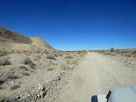
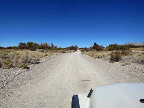 Alamo Road, departing Corn Creek Road intersection (view N) |
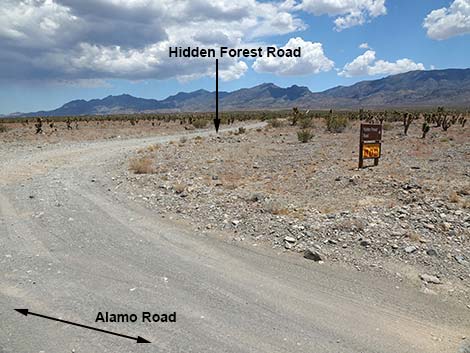
Following the base of the Desert Range, Alamo Road runs NNE to Hidden Forest Road (Site 0882; 14.8 miles), on the right. There is a road sign and an information sign at the intersection. Hidden Forest Road is a fine 2WD-HC road that runs east about 4 miles to the mouth of Deadman Canyon and undeveloped campsites at the end of the road. From the trailhead, hikes lead to Hidden Forest, Wiregrass Spring, the old Warden's Cabin, Hayford Peak, and the summit of Sheep Peak. Return to Alamo Road or continue to the next road segment. |
 Alamo Road at short service road to the right (view N) |
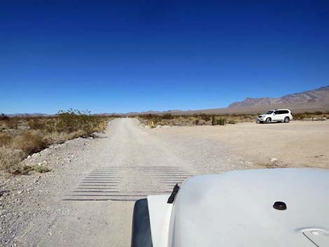 Alamo Road at old cattle guard and roadside parking (view N) |
 Alamo Road, approaching roadside parking on the left (view N) |
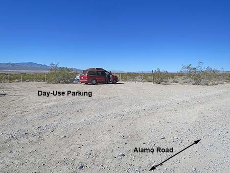 Day-Use parking -- no camping (view NNW from Alamo Road) |
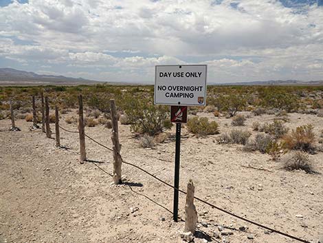 Sign: Day-Use parking -- no camping (view NNW) |
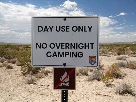 Sign: Day-Use parking -- no camping (view NNW) |
 Alamo Road approaching a sign (view N) |
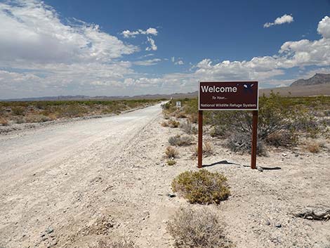 Alamo Road at sign (view N) |
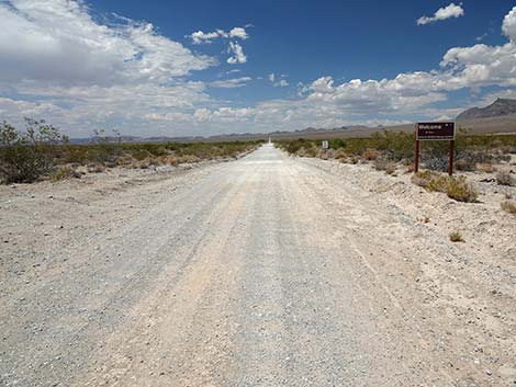
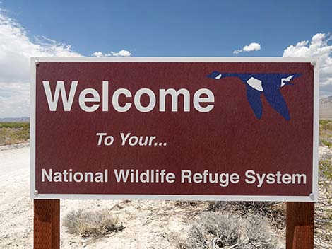 Sign: Welcome to your National Wildlife Refuge System (view S) |
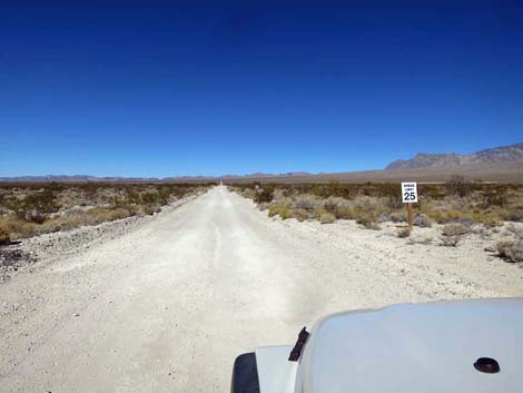 Alamo Road speed limit is 25 mph (view N) |
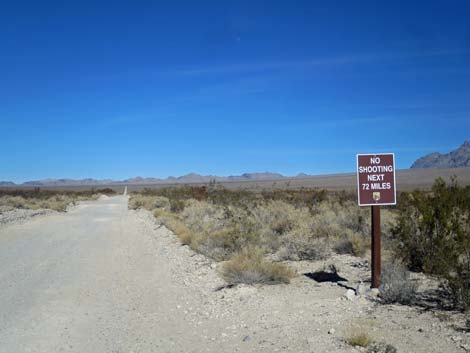 Alamo Road sign: no target shooting next 72 miles (view N) |
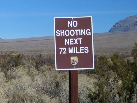 Alamo Road sign: no target shooting next 72 miles (view N) |
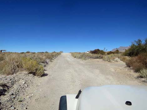
 Road runs through mesquite-sand dune habitat (view NNW) |
 Alamo Road passing mesquite hammocks; good birding (view N) |
 Parking for mesquite hammock birding (view NW) |
 Birder parking just past the mesquite hammocks (view W) |
 Alamo Road near the last of the low mud hills (view N) |
 Alamo Road approaching a camping area (view N) |
 Alamo Road at a camping area (view N) |
 Camping area (view E from Alamo Road) |
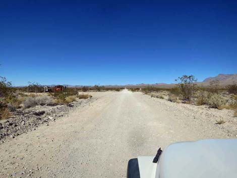
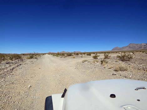
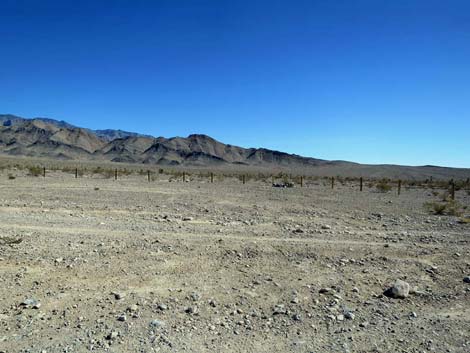
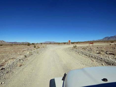
 Alamo Road approaching Joe May Canyon Road (view N) |
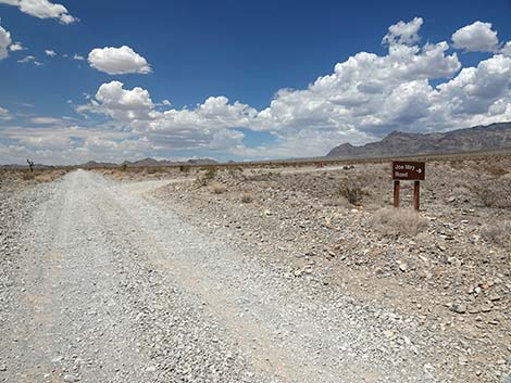 Alamo Road a Joe May Canyon Road (view N) |
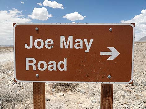 Joe May Canyon Road sign (view N) |
 Alamo Road at Joe May Canyon Road (view N) |
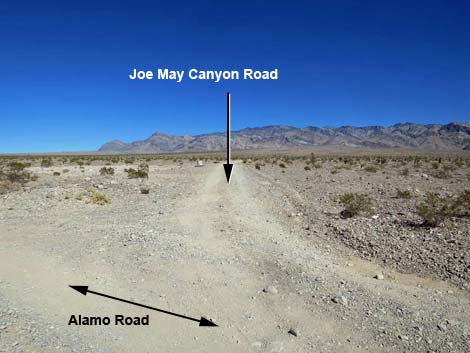 Joe May Canyon Road (view NE from Alamo Road) |
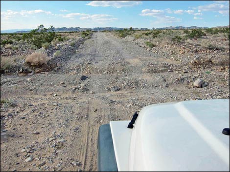 Minor washout (Sep 2012; view NW) |
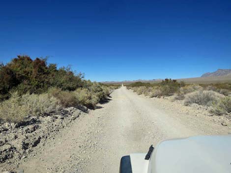
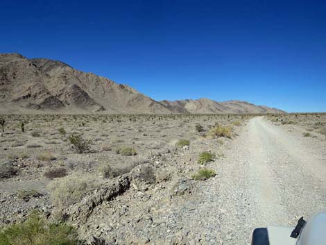
 Alamo Road heading towards Desert Range (view NW) |
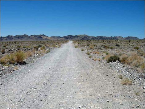
 Alamo Road beginning to bend right (view N) |
 Alamo Rd runs between Desert Range and Sheep Range (view NE) |
 Alamo Road approaching Well Head Campsite (view NE) |
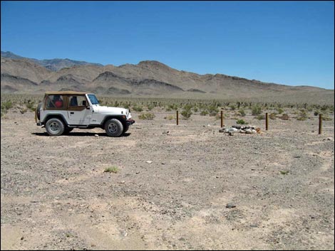
 Alamo Road at Wellhead Campsite spur road (view NE) |
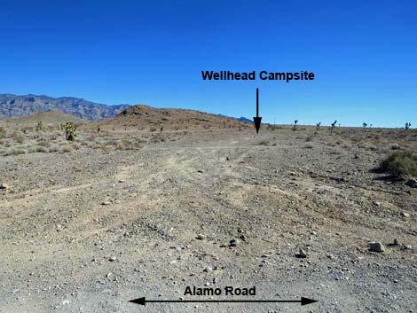 Wellhead Campsite spur road (view E from Alamo Road) |
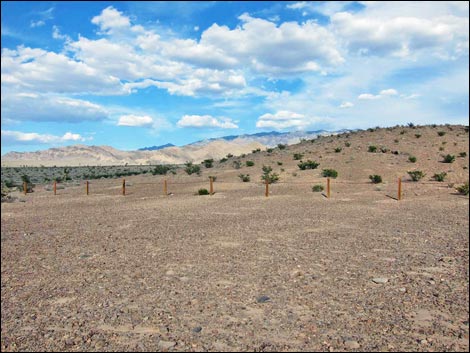 Wellhead Campsite (7.5 miles N of Corn Creek; view NE) |
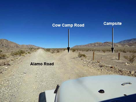
 Alamo Road approaching Cow Camp Road (view NE) |
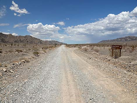 Alamo Road at Cow Camp Road sign (view NE) |
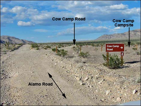 Alamo Road at Cow Camp Road (8.7 miles N of Corn Creek) |
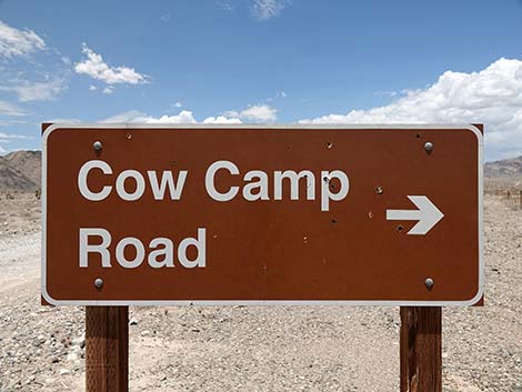 Cow Camp Road sign (view NE) |
 Alamo Road at Cow Camp Road (view NE) |
 Alamo Road at Cow Camp Campsite (view E) |
 Cow Camp Campsite (view SE from Alamo Road) |
 Cow Camp Road Campsite (8.7 miles N of Corn Creek; view SE) |
 Alamo Road (view N) |
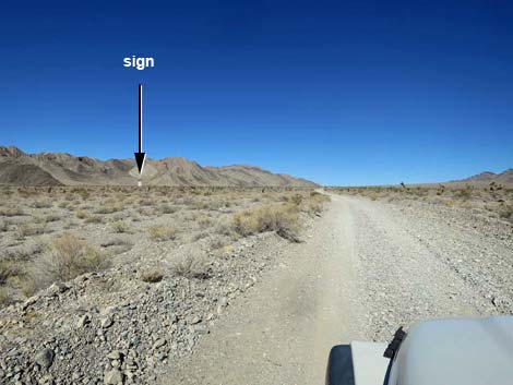 Alamo Road approaching one of many boundary signs (view N) |
 Boundary and Road Closed signs (view W from Alamo Road) |
 Alamo Road (view N) |
 Alamo Road (view N) |
 Alamo Road approaching Hidden Forest Road (view N) |
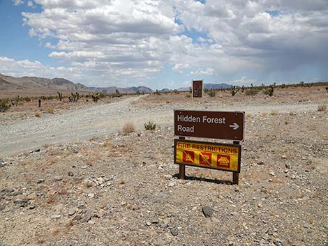 Hidden Forest Road sign (view N) |
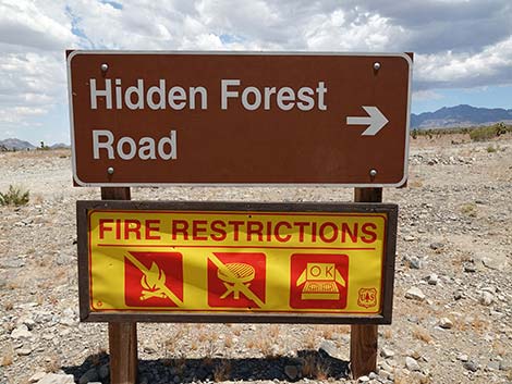 Hidden Forest Road sign (view N) |
 |
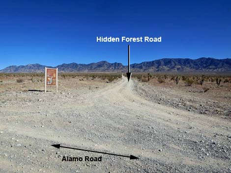 Hidden Forest Road (view NE from Alamo Road) |
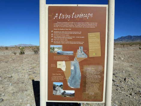
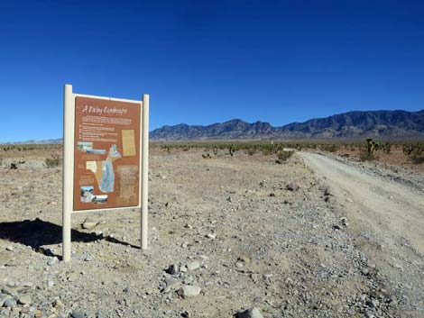 Hidden Forest information sign (view NE from Alamo Road) |
 Hidden Forest Road sign (view NE) |
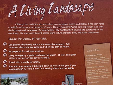 Top of sign: A living landscape |
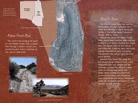 Bottom of sign: "Hidden Forest Road" and "Road to Alamo" |
 Alamo Road at Hidden Forest Road (14.8 miles N of Corn Creek) |
Happy Hiking! All distances, elevations, and other facts are approximate.
![]() ; Last updated 240324
; Last updated 240324
| Backroads Around DNWR | Hiking Around Las Vegas | Glossary | Copyright, Conditions, Disclaimer | Home |