Backroads Around Las Vegas, Desert National Wildlife Refuge
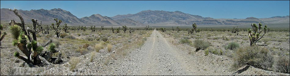
 Alamo Road at Cabin Spring Canyon Road (view N) |
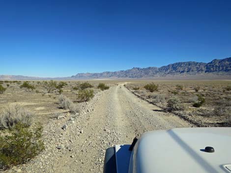
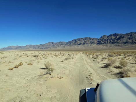
The Road -- Cabin Canyon Road to across Desert Dry Lake Playa From Cabin Canyon Road, Alamo Road heads north and east for 2.7 miles crossing the deep playa dust on the southeast corner of Desert Dry Lake for a total of 42.4 miles from Corn Creek. Because of the deep playa dust, this is the most technically difficult part of the road. This part of the road never is graded and usually is suitable only for high-clearance 4WD vehicles. After storms, the road can be wet and impassible. After the mud dries, the road can be easy until people stir up the poof-dirt again. This part of Alamo Road provides access to a couple of cattle tanks, but in reality, it just provides a way to cross the playa. Link to map. See Alamo Road for GPS coordinates. |
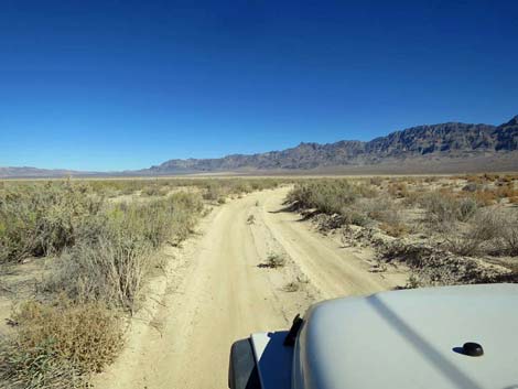
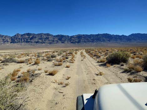
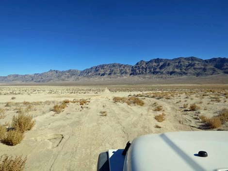
 Alamo Road approaching the end of the shrubs (view N) |
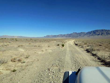
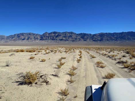
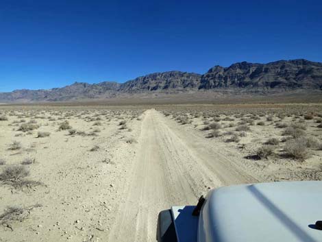
Alamo Road Staying left at the intersection (Table 1, Site 0098) with Cabin Spring Canyon, Alamo Road runs northeast and descends towards the edge of the shrub zone. Most of our shrub species can't live in the silty playa dust, and the end of the shrubs (about 0.5 miles out) once marked the end of Alamo Road (Site 0489) for north-bound drivers. Here, signs used to announce that the road was closed. Signs used to prohibit (but did not block) further travel. The closure was to prevent people in 2WD vehicles from driving out onto the playa and getting stuck in the deep playa dust where they might encounter life-threatening conditions. Alamo Road is now open, but drivers should be cautioned that the road was closed because tires break up the heavy playa dust and churn it into a flour-like consistency that creates surprisingly difficult passage even in 4WD vehicles and even when dry. The dust seems bottomless, and the road develops deep ruts that can easily high-center high-clearance vehicles. |
 Alamo Road at the edge of the shrub zone (view N) |
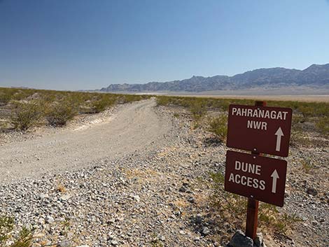
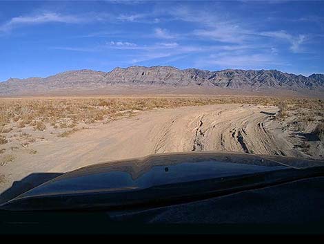
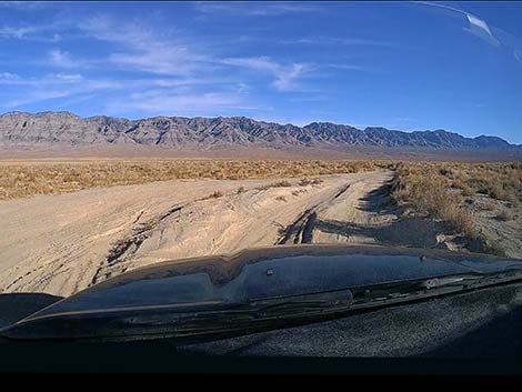
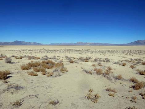
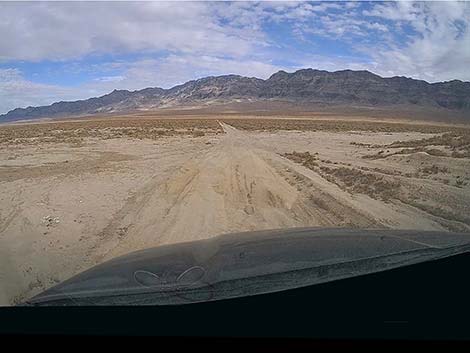
Unfortunately, the road conditions are so bad that drivers just turn out of the ruts and drive through the low-growing vegetation, which creates multiple sets of deep ruts. During wet conditions, stay off this section of road. The road runs northeast, then bends east, bends northeast again, and finally bends east to climb onto slightly higher and firmer terrain. In this area, the road passes berms of mud on the right. These are spoils piles from cattle tanks where ranchers dug pits to collect water off the playa. As the climate dries, these represent the last-gasp attempts by ranchers to keep cattle on the land, but even this was in vain, and as can be seen, the land is now so dry that the era of ranching is long gone. Dropping off the higher terrain back to playa level is again badly churned up, but crossing that area marks the end of the deep playa dust (Site 0543). This is also the trailhead to the South Dunes, which lie about 3/4-miles off to the east. Return to Alamo Road or continue to the next road segment. |
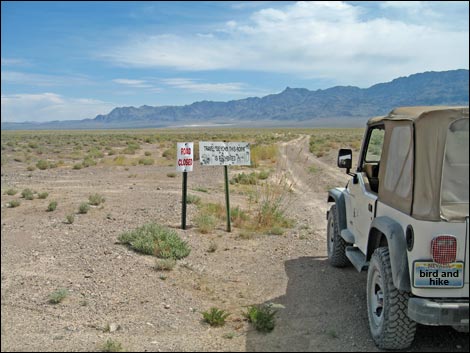 Historical Dry Lake road closure sign (40.0 miles N of Corn Creek) |
 Historical road closure signs (view NNE) |
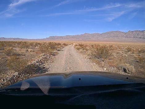 Approaching the edge of the playa (view NE) |
 Edge of the playa (view NE) |
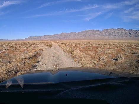
 Starting into the poof-dirt (view NE) |
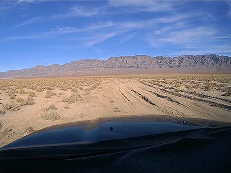
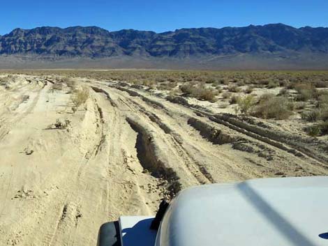
 Ruts and deep playa dust (view NE) |
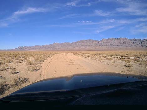 The playa dust is not always so deep (view NE) |
 Deep ruts and playa dust (view NE) |
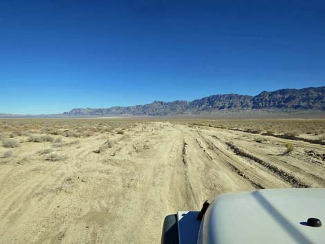
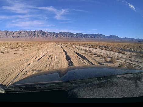
 Drivers spread out to avoid very deep ruts (view SE) |
 Deep ruts and deep playa dust; drivers are spreading out (view SE) |
 Turning the first corner (view E) |
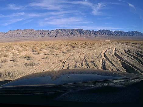
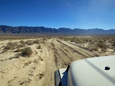
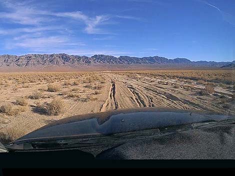 Deep ruts and playa dust (view SE) |
 Deep ruts and playa dust (view SE) |
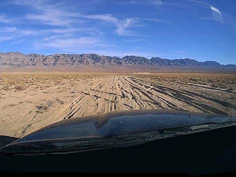 Deep ruts and playa dust (view SE) |
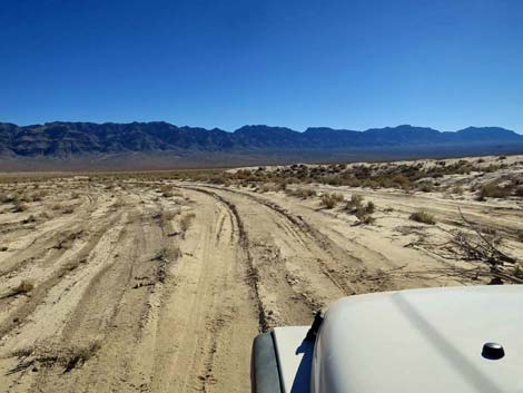
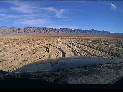 Some drivers are having trouble navigating in the deep dust (view SE) |
 Drivers spread out to avoid very deep ruts (view SE) |
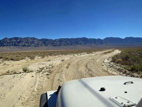
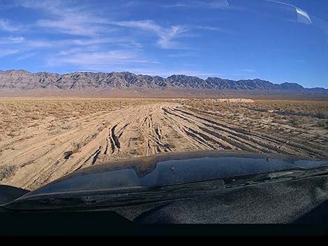
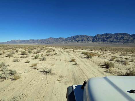
 Not-so-deep ruts and playa dust (view E) |
 Ruts and deep playa dust (view E) |
 Passing the old cattle tank (view NE) |
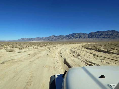
 Parallel roads beginning to merge (view NE) |
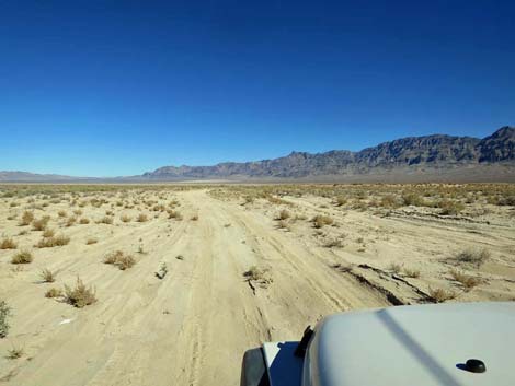 More parallel roads to avoid deep ruts (view NE) |
 The road bends right towards better conditions (view N) |
 Turning the last corner (view NE) |
 Turning the last corner onto better soils (view NE) |
 Traversing higher terrain with a field of exotic tumbleweeds (view E) |
 Firmer soils on higher terrain (view E) |
 Higher terrain and a field of exotic tumbleweeds (view E) |
 Stopping for a view of Desert Dry Lake (view N) |
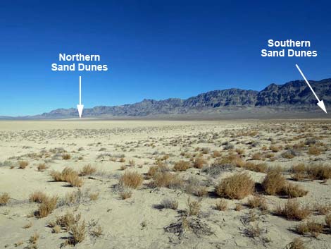 Sand dunes visible across Desert Dry Lake (view NE) |
 Approaching one last bit of ruts and deep playa dust (view NE) |
 One last bit of ruts and deep playa dust (view NE) |
 Beyond the problematic playa dust (view NE) |
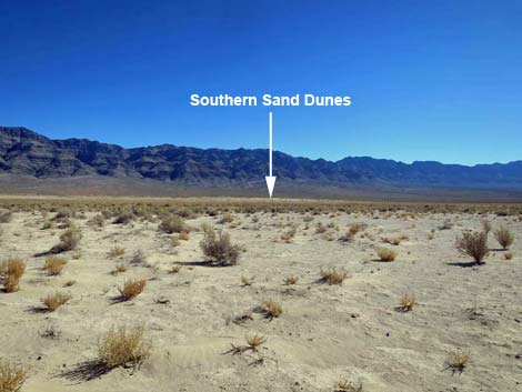 Trailhead for the Southern Sand Dunes (view SE) |
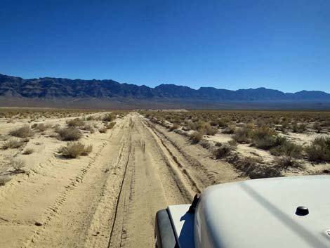
 Alamo Road (view NE) |
Happy Hiking! All distances, elevations, and other facts are approximate.
![]() ; Last updated 240324
; Last updated 240324
| Backroads Around DNWR | Hiking Around Las Vegas | Glossary | Copyright, Conditions, Disclaimer | Home |