Backroads Around Las Vegas, Desert National Wildlife Refuge
previous section
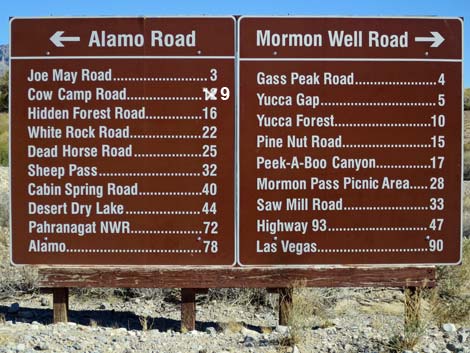 Sign at south end of Mormon Well Road near Corn Creek |
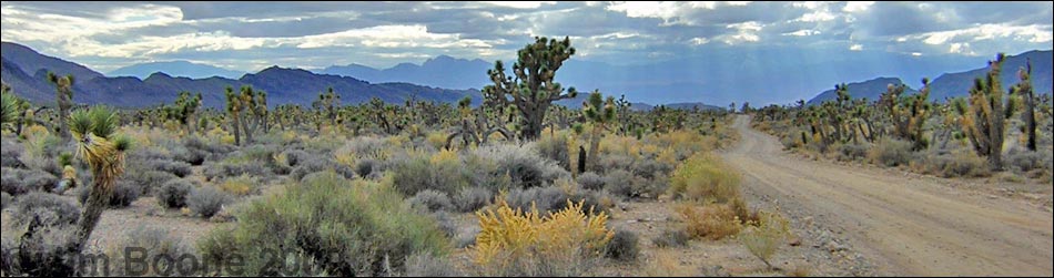
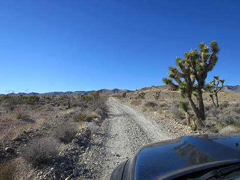
Overview The Mormon Well Road is a long, rough, dirt road that runs across the Desert National Wildlife Refuge from Corn Creek to Highway 93. The road runs across the desert and over the mountains through spectacular country, including towering limestone cliffs; broad, flat valleys; and narrow, winding canyons. The road runs through several desert vegetation life zones, starting in the very dry (stunted) Mojave Desert Scrub Zone and climbing to the Yellow Pine (Ponderosa Pine) Zone. The variety of life zones provides different habitats for birds and other wildlife. Details of the road southbound (including GPS coordinates and maps) are presented on the Mormon Well Road Southbound webpage. Photos here show scenery and road conditions from Highway 93 to Sawmill Canyon Road. For northbound information, see Mormon Well Road Northbound. |
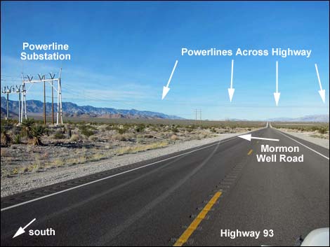 Highway 93, approaching Mormon Well Road (view N) |
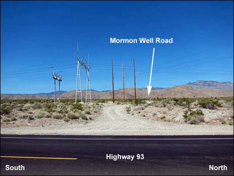 Mormon Well Road at Highway 93 (view W) |
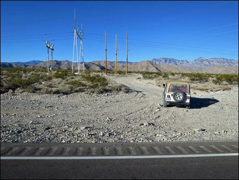 Departing Highway 93 (view W) |
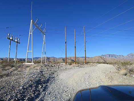 Approaching power poles (view W) |
 Passing power poles (view SW) |
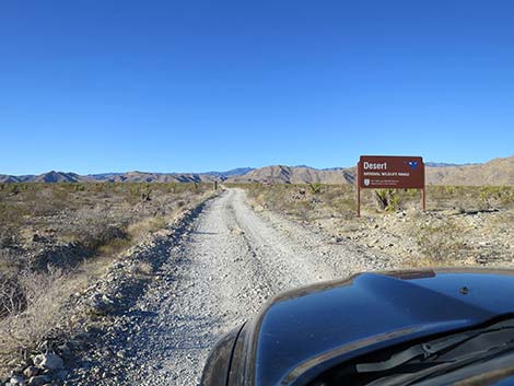
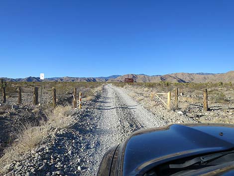 Approaching Desert National Wildlife Refuge boundary (view SW) |
 Desert National Wildlife Refuge boundary sign on the left (view W) |
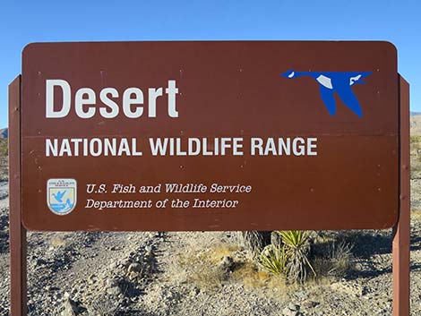
 Approaching Desert National Wildlife Refuge sign (view SW) |
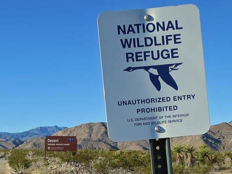
 Desert National Wildlife Refuge sign (view SW) |
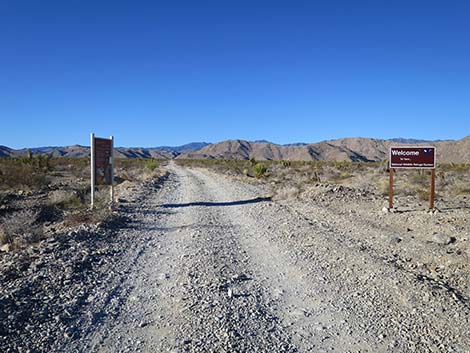 Approaching Desert NWR information and welcome sign (view SW) |
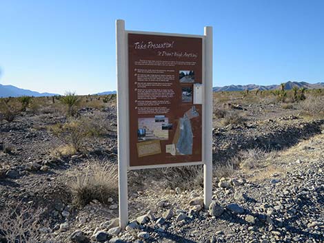 Desert NWR information: Take Precaution; area map (view W) |
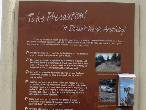 Information sign: Take Precaution (it doesn't weight anything) |
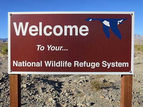 Desert NWR welcome sign (view SW) |
 Approaching a regulatory sign (view SW) |
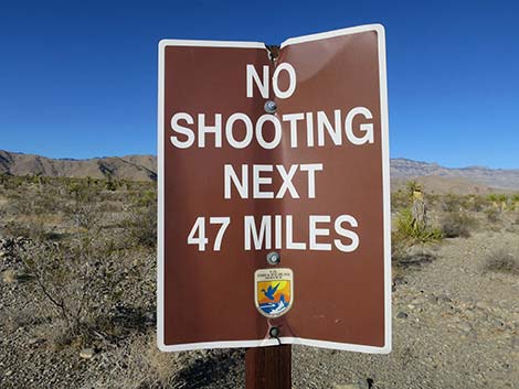 Regulatory sign: no plinking or target shooting (view SW) |
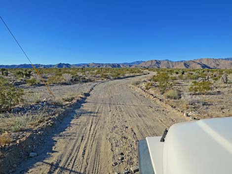
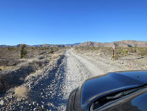
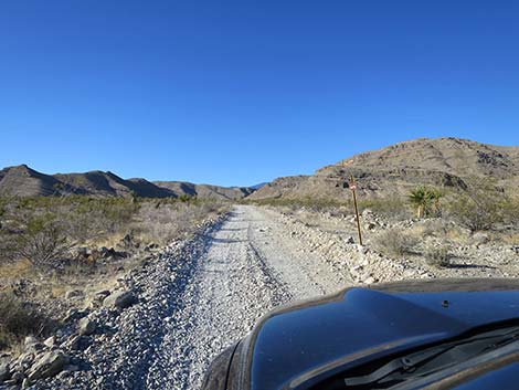
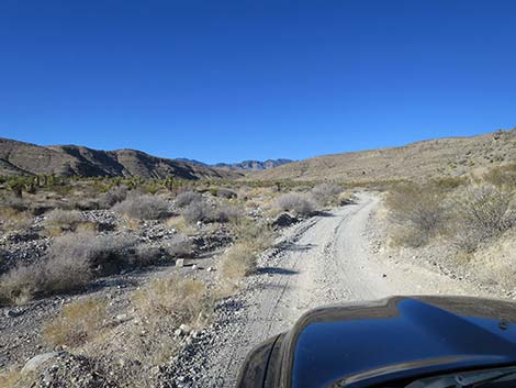
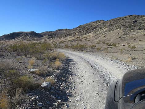
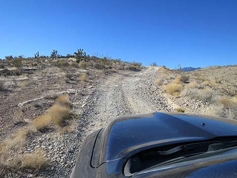
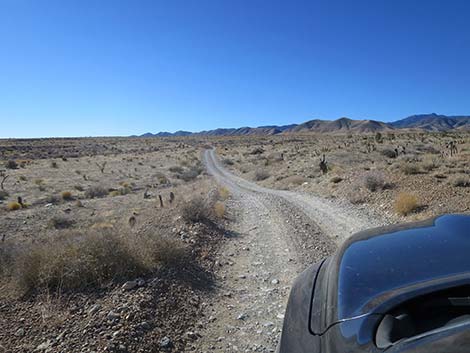
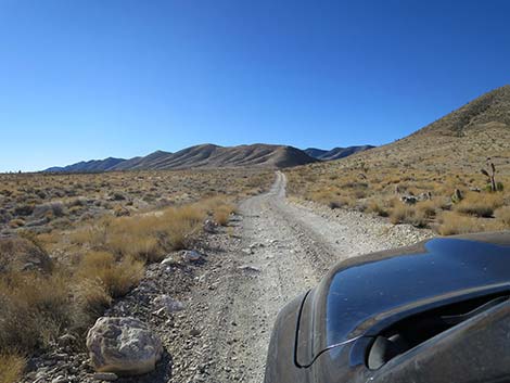
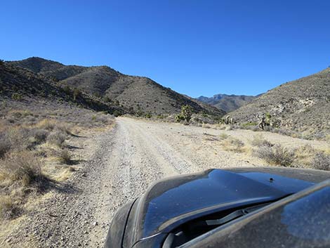
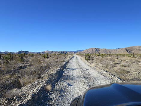 Mormon Well Road continues up the bajada (view SW) |
 |
 |
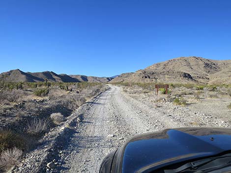 Approaching a regulatory sign (view SW) |
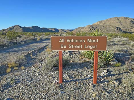 Regulatory sign: only street legal vehicles (view SW) |
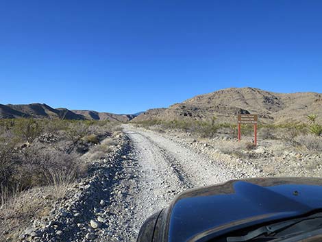 Approaching a regulatory sign (view SW) |
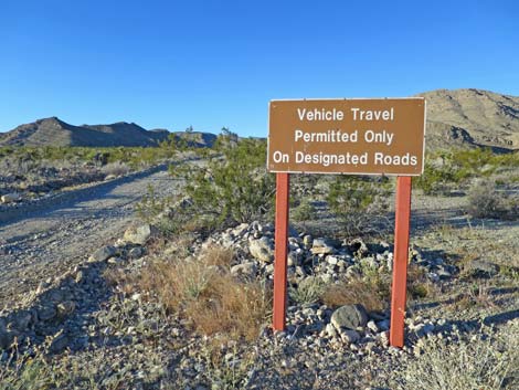 Regulatory sign: drive on roads only (view SW) |
 Approaching a regulatory sign (view SW) |
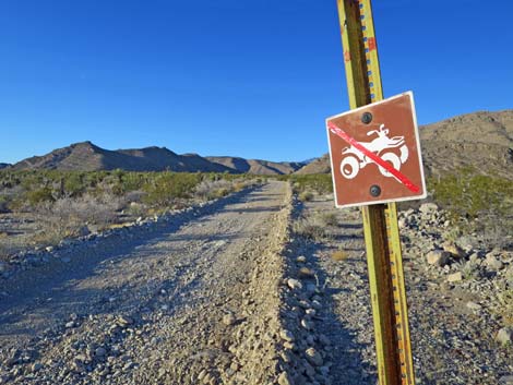 Regulatory sign: no ATVs(view SW) |
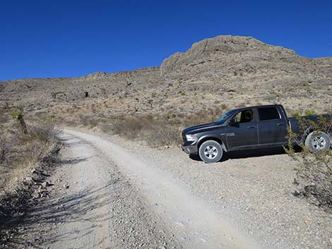
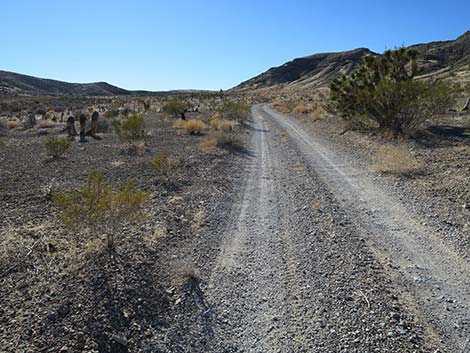
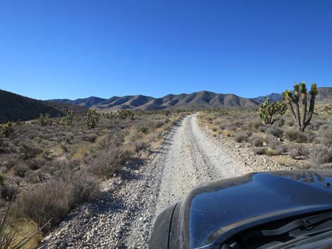
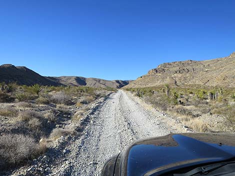 Approaching Elbow Canyon (view W) |
 Starting into Elbow Canyon (view W) |
 The road starts in on the north side of Elbow Canyon Wash (view W) |
 A place to park, but not a good campsite (view W) |
 Crossing Elbow Canyon Wash (view NW) |
 Crossing the "side wash" to Elbow Canyon Wash (view NW) |
 The road bends left into the "side canyon" (view W) |
 Heading up the Elbow Canyon "side canyon" (view S) |
 Continuing up the Elbow Canyon "side canyon" (view S) |
 Continuing up the Elbow Canyon "side canyon" (view S) |
 Climbing steeply out of Elbow Canyon "side canyon" (view SW) |
 Atop pass exiting the Elbow Canyon "side canyon" (view SW) |
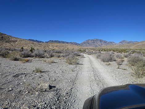
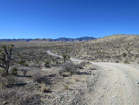
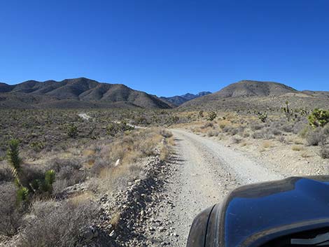
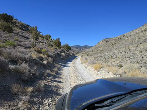
 Mormon Well Rd crossing broad alluvial fan below Sawmill Canyon |
 Mormon Well Rd crossing broad alluvial fan below Sawmill Canyon |
 |
 |
 |
 |
 |
 |
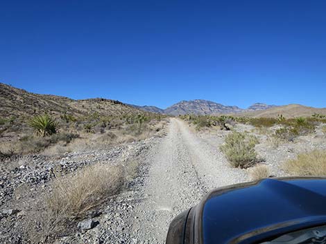
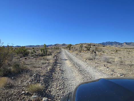
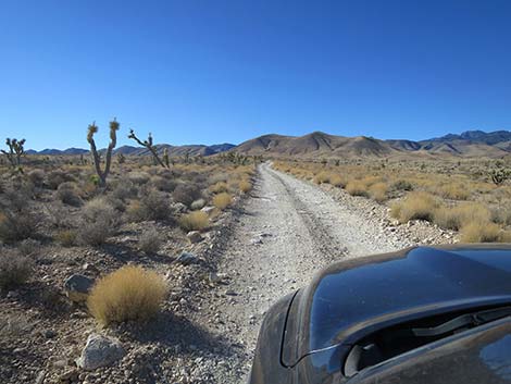
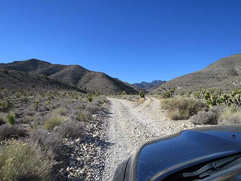
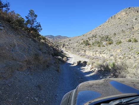
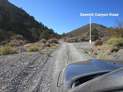
 Mormon Well Rd climbing towards Sawmill Canyon (view SW) |
 Road forks to scenic overlook (view W) |
 Roads merge after scenic overlook (view W) |
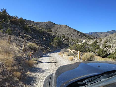 Yellow gate marking entrance into Sawmill Canyon (view W) |
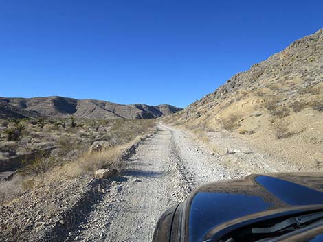
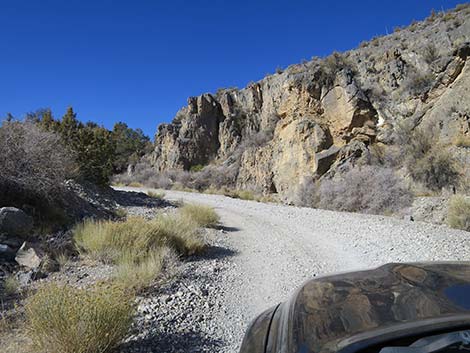
 Road climbs onto the sidehill above Sawmill Canyon gorge (view W) |
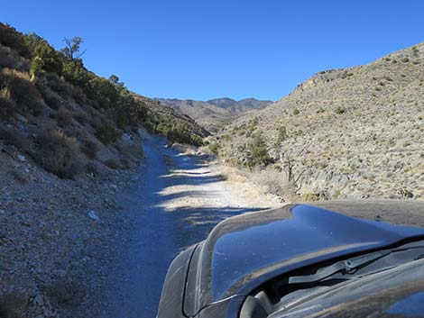 Narrow road on sidehill above Sawmill Canyon gorge (view W) |
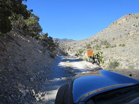 Sign: Caution -- flash flood area (view W) |
 Narrow road drops into Sawmill Canyon Wash (view NW) |
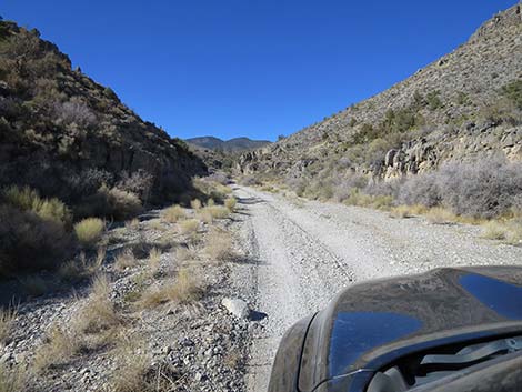 Sawmill Canyon Wash (view NW) |
 Sawmill Canyon Wash bends left (view NW) |
 Mormon Well Road approaching Sawmill Canyon Road (view SW) |
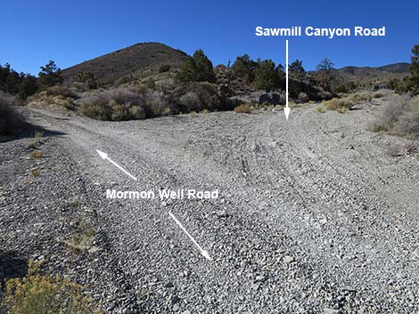 Mormon Well Road at Sawmill Canyon Road (view SW) |
Happy Hiking! All distances, elevations, and other facts are approximate.
![]() ; Last updated 240324
; Last updated 240324
| Mormon Well Road | Backroads | Hiking Around Las Vegas | Glossary | Copyright, Conditions, Disclaimer | Home |