Hiking Around Las Vegas, Gold Butte National Monument
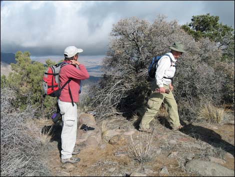
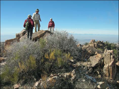 Hikers atop Billy Goat Peak (view W) |
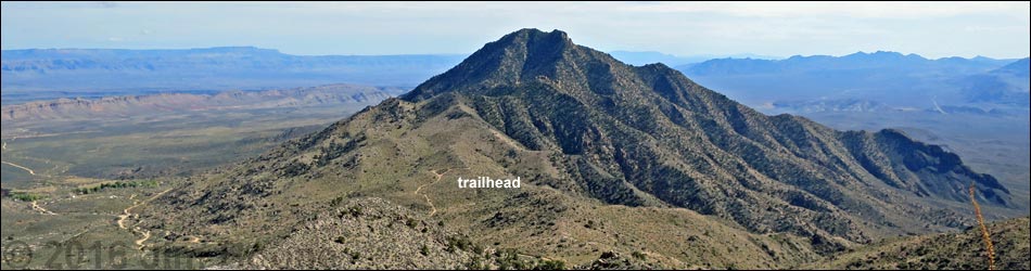
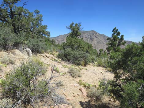
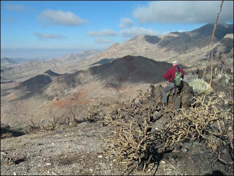
Overview Billy Goat Peak (5,701 ft) is a tough hike to a minor peak in the middle of some of the wildest country in southern Nevada. Why bother to go so far to climb a minor peak? Spectacular views. Enough said. The route runs south through a burn area to contour around a forested false summit (Pinyon-Juniper Woodland life zone) and drop into a deep saddle on the north side of Billy Goat Peak. From the saddle, the route splits. Hikers can traverses onto the North Face and climb steep slopes to the summit. Alternatively, hikers can stay on the North Ridge, which is more difficult, until forced into the steep North Face. Presented here are photos of the descent down the North Face route. For a detailed description of the route, including directions, maps, GPS coordinates, and photos, see Billy Goat Peak. |
 Starting down the Summit Ridge (view NW) |
 Saddle on Summit Ridge; route jumps off here (view SW) |
 Hikers getting ready to jump off the Summit Ridge (view NW) |
 The first steps are big ones (view N) |
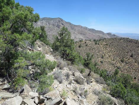
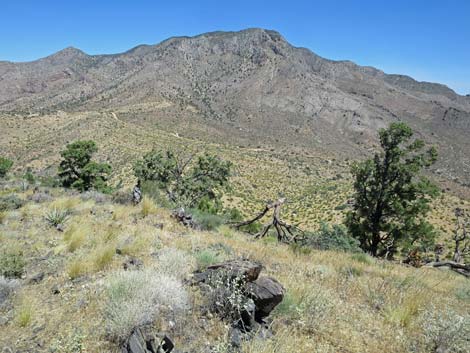
 Stay left of dead tree and rock outcrop (view N) |
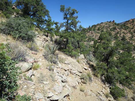
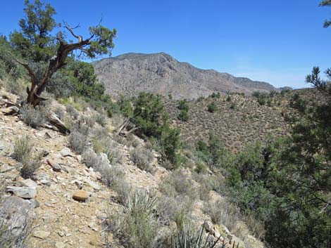
 Descending across steep slopes (view N) |
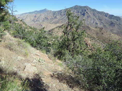 Descending across steep slopes (view N) |
 Descending across steep slopes (view N) |
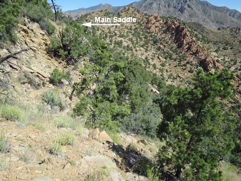
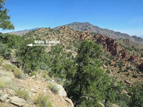
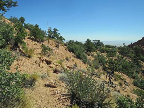
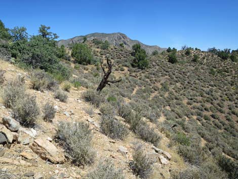
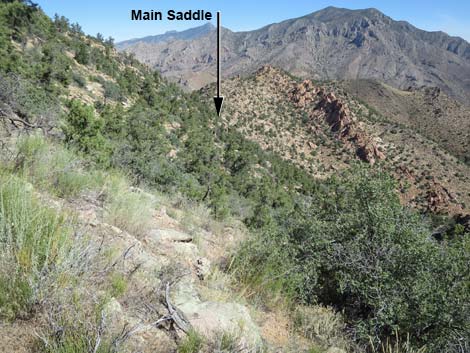 Keep an eye on the Main Saddle: don't go too low (view N) |
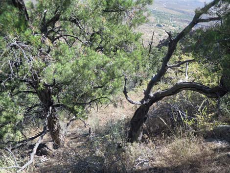
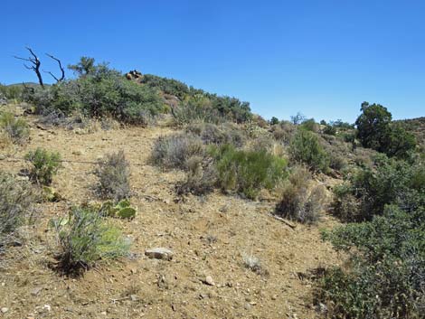
 There are was around all of the oak thickets (view N) |
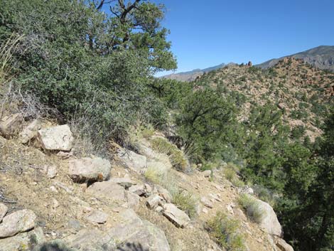
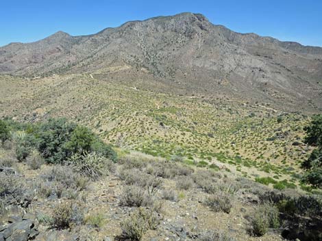
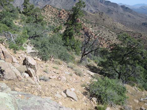 Descending across steep slopes (view N) |
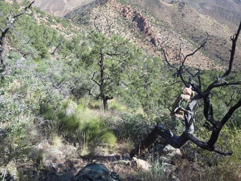
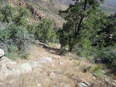
 This deep gully is the last serious obstacle (view N) |
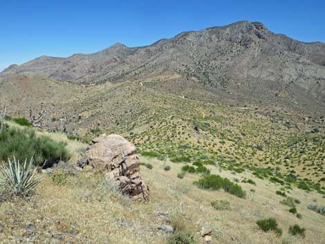
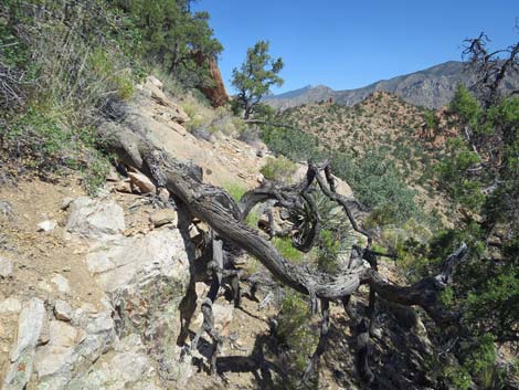 Except for this minor obstacle (view N) |
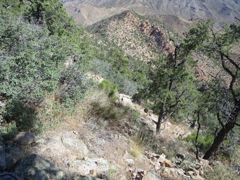
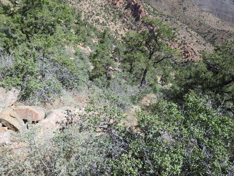
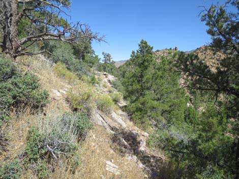
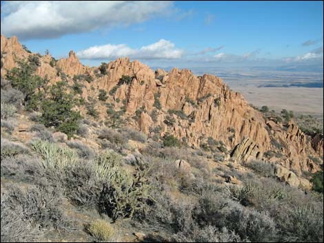
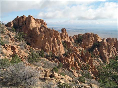
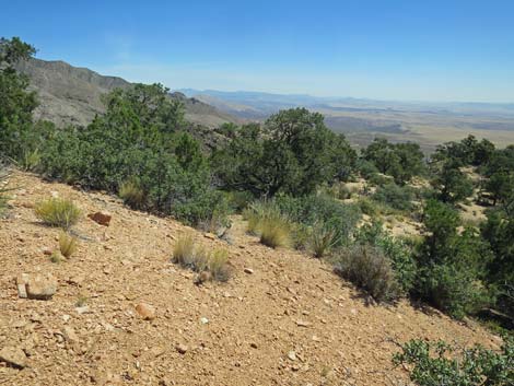
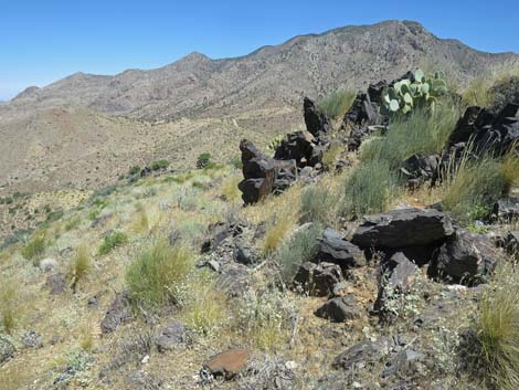
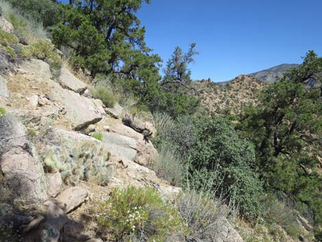 Traversing below the band of cliffs (view N) |
 Traversing below the band of cliffs (view N) |
 Traversing below the band of cliffs (view N) |
 Traversing below the band of cliffs (view N) |
 Traversing below the band of cliffs (view N) |
 Arriving back on the saddle (the Yucca is below the camera; view N) |
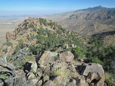
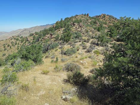
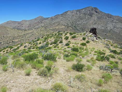
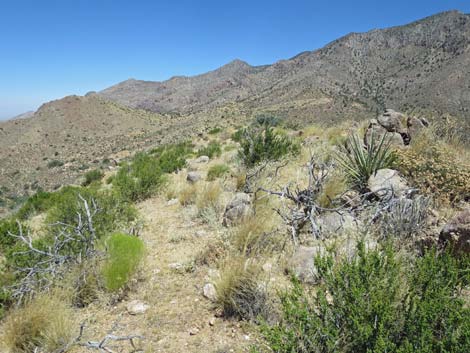
 The route follows the ridgeline towards the oblong boulder (view N) |
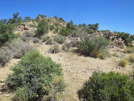 Looking for that animal trail (view N) |
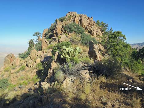
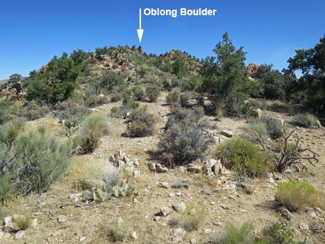
 Approaching the oblong boulder (view N) |
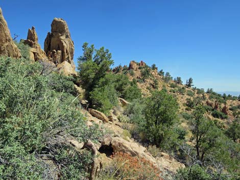
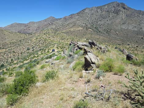
 Passing the pink rock outcrop (view E) |
 Pink rock outcrop (view SE) |
 Passing below the oblong boulder (view N) |
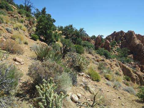 Animal trail contours across slope to the next shoulder (view NE) |
 Approaching the next shoulder (view NE) |
 On the shoulder (view NE into Arizona) |
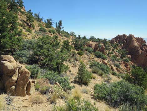
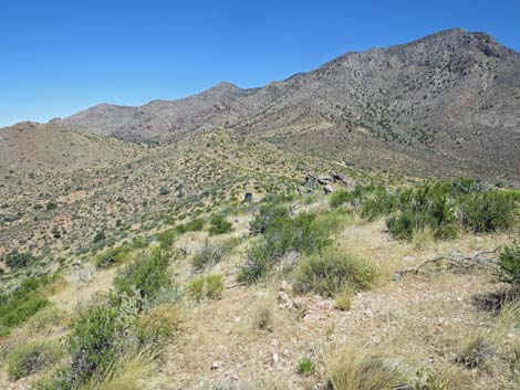
 Animal trail traverses the hillsides (view N) |
 Animal trail traverses the hillsides (view NE) |
 Animal trail traverses the hillsides (view NE) |
 Animal trail traverses the hillsides (view N) |
 Animal trail disappears after the dead tree (view N) |
 Approaching the barbed-wire fence on the final ridgeline (view NE) |
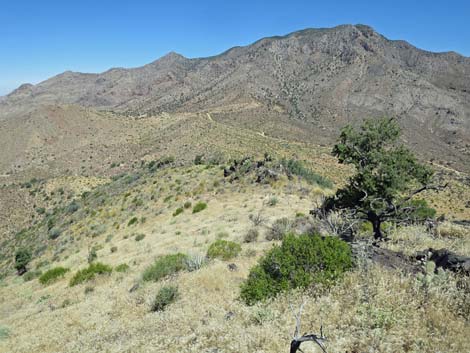
 Traversing onto the final high ridgeline (view N) |
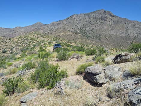
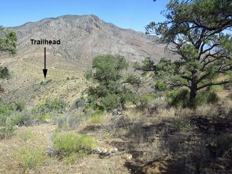 Trailhead comes into view (view N) |
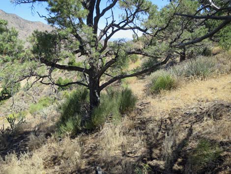 Trees for a shaded rest and an animal trail to follow out (view NE) |
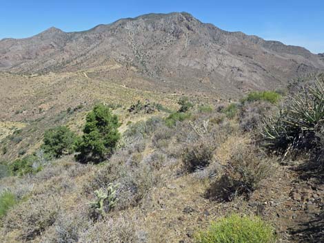 After traversing the slope, route turns down the ridgeline (view N) |
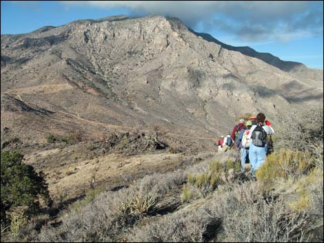 Hikers descending towards the burn zone (view NE; 2005) |
 Back in the burn zone and a lucky tree (view N) |
 A Pancake Cactus in the rocks survived the fire (view N) |
 Hiker taking a break in the burn zone (view N; 2005) |
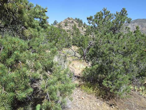
 Returning towards the last of the pinyon pines (view N) |
 Looking over the slope below the last of the pinyon pines (view N) |
 A curious rounded boulder on the hillside (view N) |
 Descending into the last shallow saddle (view N) |
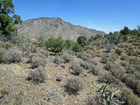
 The route follows along the west side of the low ridge (view N) |
 The route follows along the low ridge (view N) |
 The route follows along the low ridge (view N) |
 Returning to the trailhead (view N) |
Note: All distances, elevations, and other facts are approximate.
![]() ; Last updated 190726
; Last updated 190726
| Hiking Around Gold Butte | Hiking Around Las Vegas | Glossary | Copyright, Conditions, Disclaimer | Home |