 |
| Home | Wilderness | Backroads | Hiking | Gold Butte | White Rock Campground |
White Rock Campground Map
Backroads Around Las Vegas,
Gold Butte National Monument |
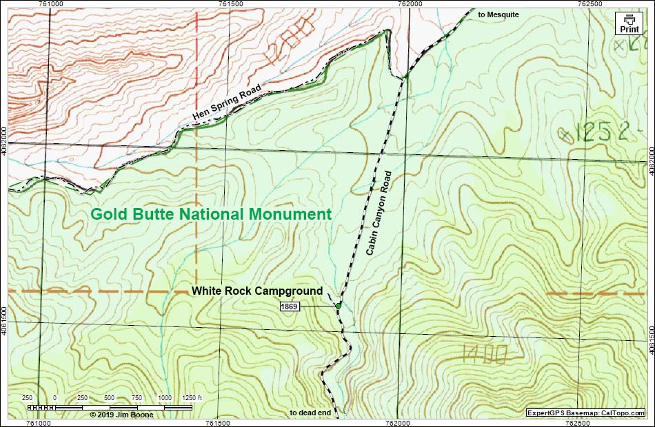 |
| Note: Map based on USGS 7.5-minute topo map, which may have red grid lines and various numbers. North is at the top. Grid is UTM NAD27 CONUS. Roads are black (solid = paved; dashed = unpaved; width implies quality). National Monument Areas (boundaries dash-dot green, fill light green) based on BLM data. BLM areas (no color overlay) based on BLM data. Download waypoint coordinates from route description page. |
Happy Hiking! All distances, elevations, and other facts are approximate.
 ; Last updated 190702 ; Last updated 190702 |
|