Hiking Around Las Vegas, Mount Charleston Area, Lovell Canyon
 |
The North Loop Trailhead is located up in the Spring Mountains National Recreation Area (also known as Mt. Charleston) between Kyle and Lee canyons, about 1 hour northwest of Las Vegas. North Loop Trailhead provides access to several trails and routes, including the North Loop Trail (leads to the summit of Mt. Charleston), Raintree, Mummy Springs, and routes up the east side of Mummy Mountain, (e.g., Mummy's Toes, Mummy's Belly). Link to Trailhead Map. |
 |
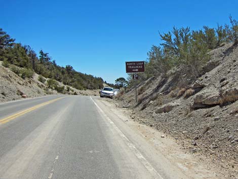
Getting to the Trailhead From town, drive north on Highway 95 to Kyle Canyon Road (Highway 157; Table 1, Site 0667). Turn left onto Kyle Canyon Road and drive west, past the Spring Mountains Visitor Center, for 17.1 miles to Deer Creek Road (Highway 158; Site 0727). Turn right onto Deer Creek Road and drive north for 4.8 miles to the second paved turnout past Hilltop Campground (Site 0487). Watch for a paved parking area on the west (left) side of the road with a large trailhead sign. Park here; this is the trailhead. |
 Deer Creek Road approaching North Loop Trailhead (view N) |
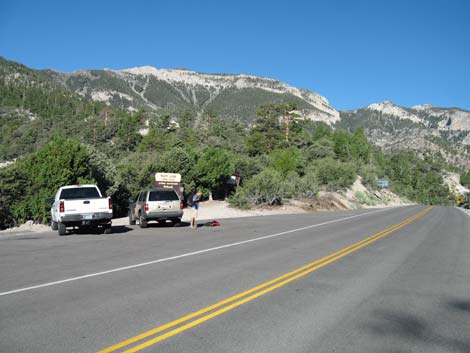 Deer Creek Road at North Loop Trailhead (view N) |
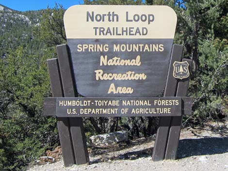
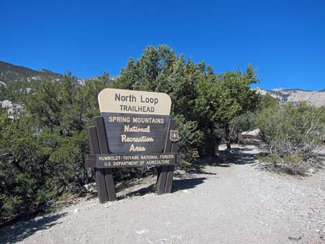
 North Loop Trailhead Info Sign |
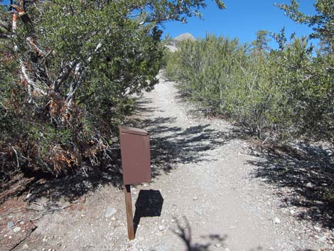
 Beginning of North Loop Trail |
 Beginning of North Loop Trail |
 Wilderness Register at beginning of North Loop Trail |
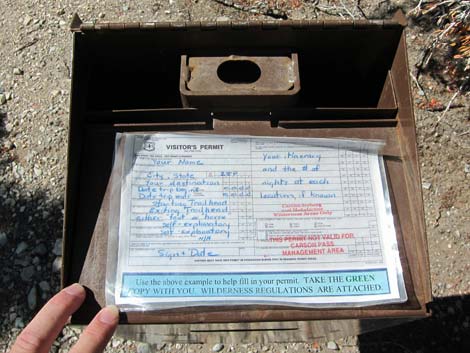 Wilderness Register usually is empty |
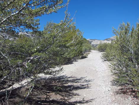 A few yards up North Loop Trail |
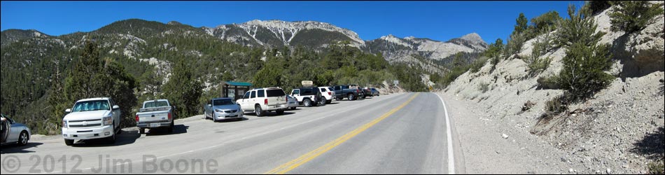
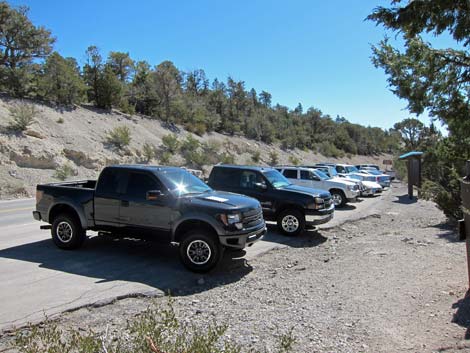 North Loop Trailhead parking |
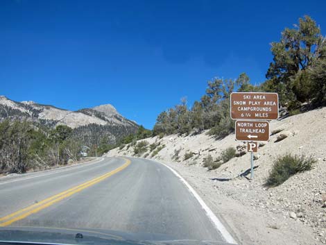
 Highway sign on approach to trailhead (view S) |
Table 1. Highway Coordinates (NAD27; UTM Zone 11S). Download Highway GPS Waypoints (*.gpx) file.
| Site # | Location | Latitude (°N) | Longitude (°W) | UTM Easting | UTM Northing | Elevation (feet) | Verified |
|---|---|---|---|---|---|---|---|
| 0487 | Deer Creek Rd at North Loop Trailhead | 36.30891 | 115.61071 | 624730 | 4018907 | 8,439 | Yes |
| 0667 | Highway 95 at Highway 157 (Kyle Canyon Rd) | 36.32758 | 115.31167 | 651544 | 4021405 | 2,820 | Yes |
| 0727 | Hwy 157 (Kyle Cyn Rd) at Hwy 158 (Deer Creek Rd) | 36.26431 | 115.60209 | 625575 | 4013970 | 6,800 | Yes |
Happy Hiking! All distances, elevations, and other facts are approximate.
![]() ; Last updated 240329
; Last updated 240329
| Hiking Around Mt Charleston | Hiking Around Las Vegas | Glossary | Copyright, Conditions, Disclaimer | Home |