Hiking Around Las Vegas, Red Rock Canyon National Conservation Area
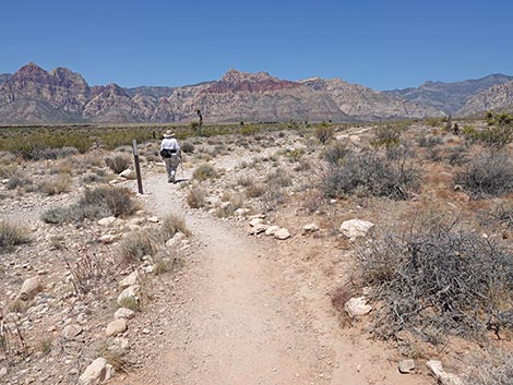
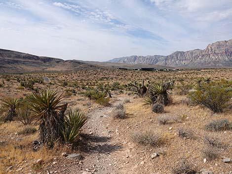
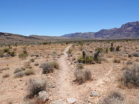
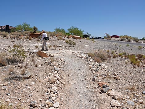
 Moenkopi Trail starts in the Visitor Center picnic area (view W) |
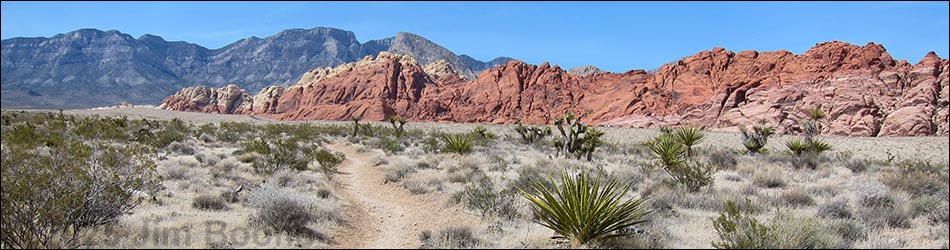
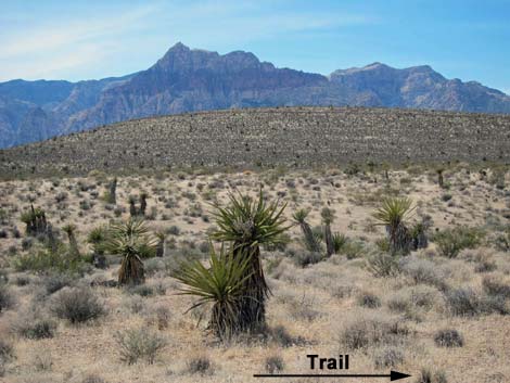
Overview The Ride Share Deluxe Loop Trail is a pleasant 2.7-mile hike that runs from the Visitor Center to Calico 1 Trailhead and back. The trail traverses big, open country and rarely goes straight when it has the opportunity to wind around. The scenery is spectacular in all directions, and signs along the trail explain the geologic history and fire history of the area. This trail is one of the interconnected Visitor Center loop trails that the Red Rocks folks are calling "Ride Share Deluxe." Problems with Internet connectivity continue to be an issue for visitors using ride share services in this area, so this loop trail keeps people close to the Visitor Center where they can get WiFi and WiFi-calling service at the end of their hike to call for a pickup. Link to map or elevation profile. Link to BLM Georeference PDF map file with coverage of this trail. |
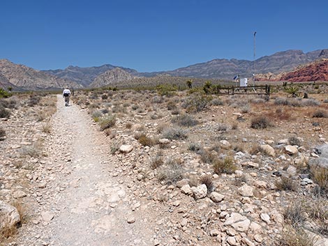
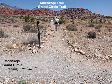
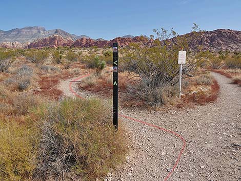
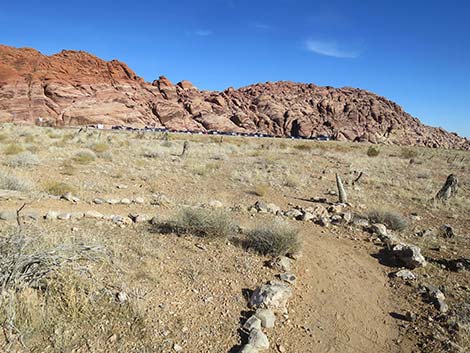
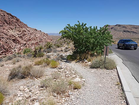
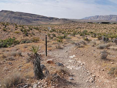
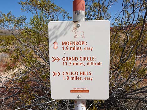
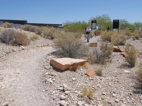
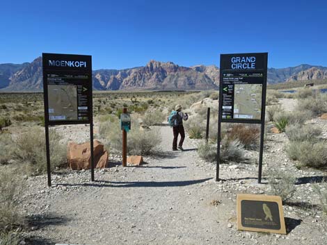 Approaching the Moenkopi and Grand Circle trailheads (view W) |
Watch Out Other than the standard warnings about hiking in the desert, ...this is a safe hike, even for kids, but watch for traffic when crossing the road. There are places where you could get hurt if you tried, but the trail is safe. Most of the trail is well groomed, relatively free of rocks, and makes for easy walking. While hiking, please respect the land and the other people out there, and try to Leave No Trace of your passage. Also, even though this hike is short, be sure to bring what you need of the 10 Essentials. |
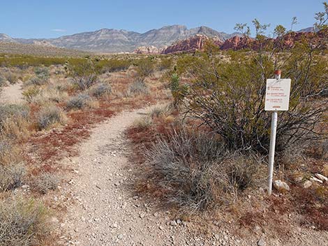
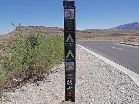
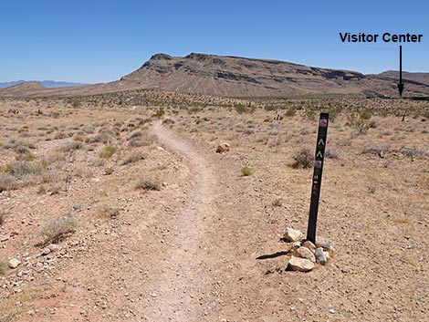
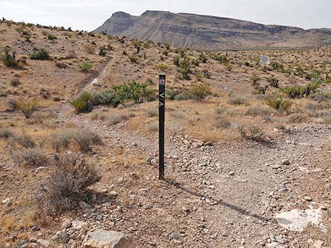
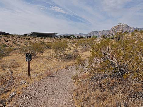
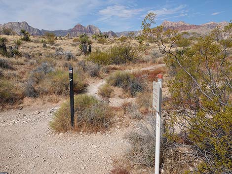
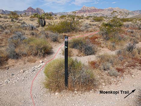
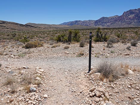
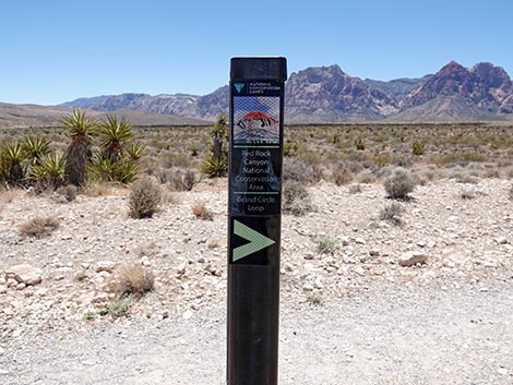
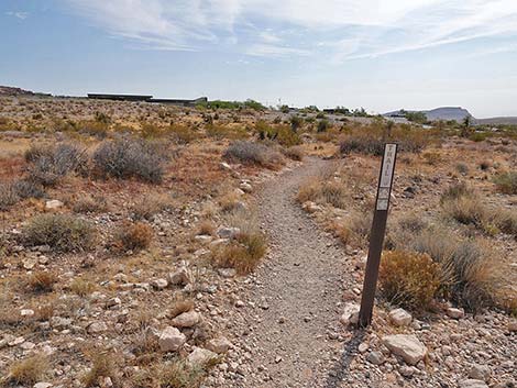
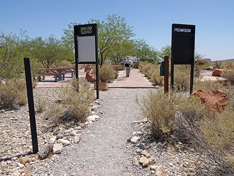
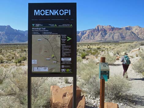 Moenkopi trailhead sign (view W) |
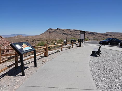
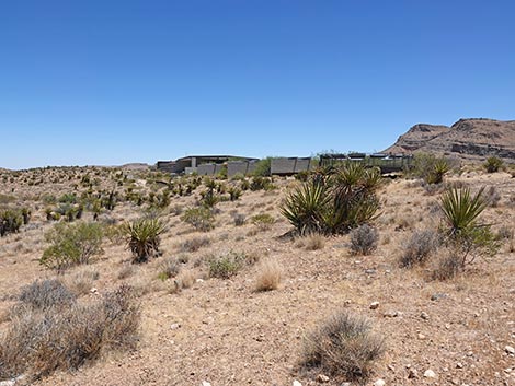
Getting to the Trailhead This hike is located along the Scenic Loop Road in Red Rock Canyon National Conservation Area, about 30 minutes west of Las Vegas. Drive out to Red Rocks, pay the entrance fee, then drive up to the Visitor Center Trailhead. Park here; this is the trailhead. The Moenkopi and Grand Circle trails start at the northwest corner of the parking area near the Visitor Center buildings. |
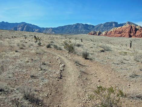
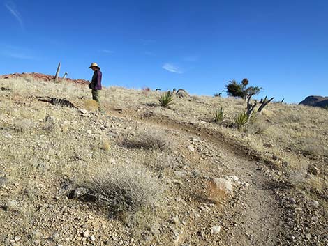
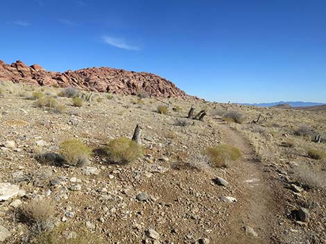
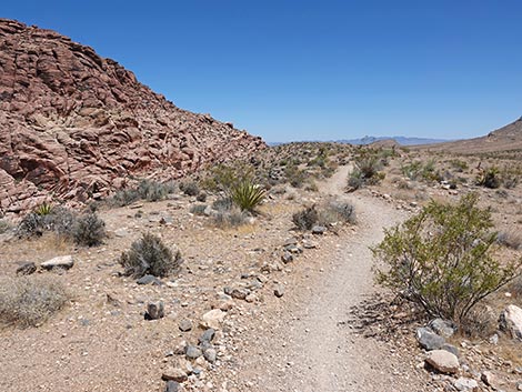
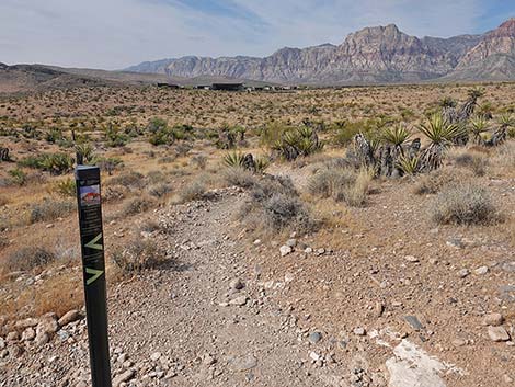
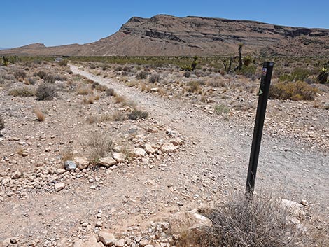
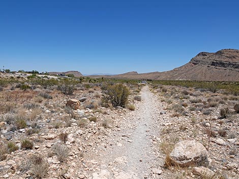
 The trail bends to switchback down the hillside (view W) |
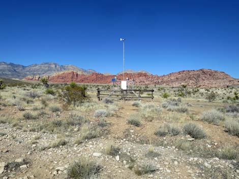
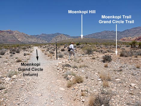
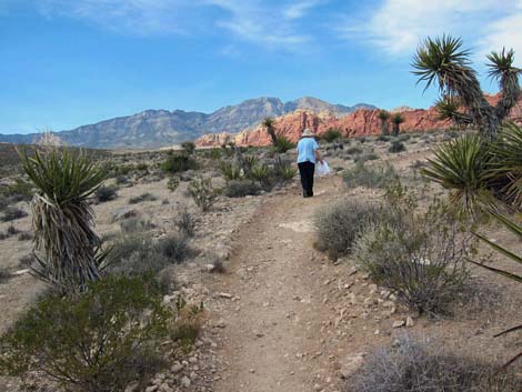
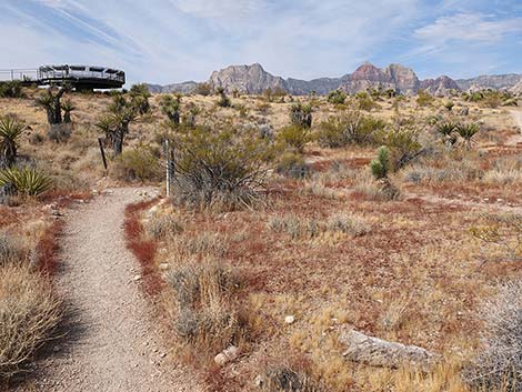
The Hike From the Visitor Center Trailhead (Table 1, Waypoint 01), which is just past several picnic tables, a memorial, and information signs, this trail starts on the Moenkopi Loop Trail, which runs southwest down the gentle grade to a trail junction where it merges onto an old road (Wpt. 02). The trail bends right and runs northwest along the old road for about 70 yards. Just past the weather station (on the right), the trail reaches another junction (Wpt. 03). Here (Wpt. 03), the Moenkopi and Grand Circle trails turn right and run north out around the west side of the Visitor Center complex. The vegetation along here is dominated by low-growing, widely spaced creosote bush, some red brome grass, and few other species. The trail runs north past the Visitor Center, then drops into a wash. In the wash, notice the difference that a little extra water makes in the desert. Here the creosote and other shrubs are fairly dense and robust compared to those growing on the flats above. |
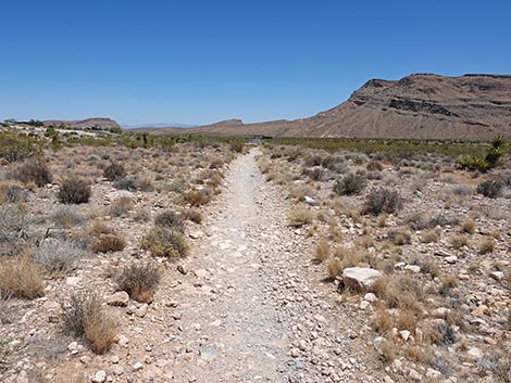
 The trail runs down the hillside (view SE) |
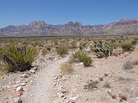
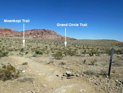
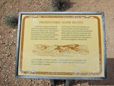
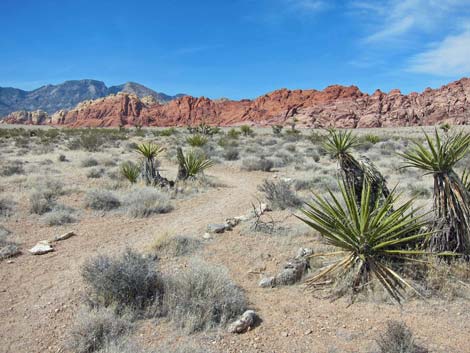
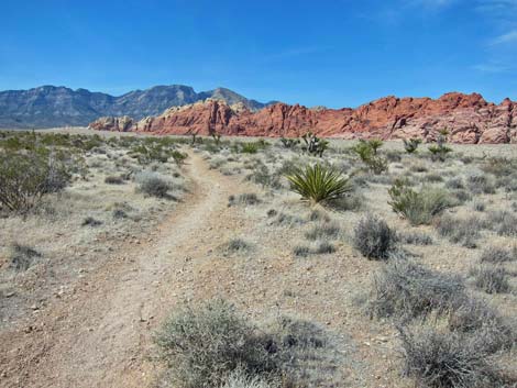
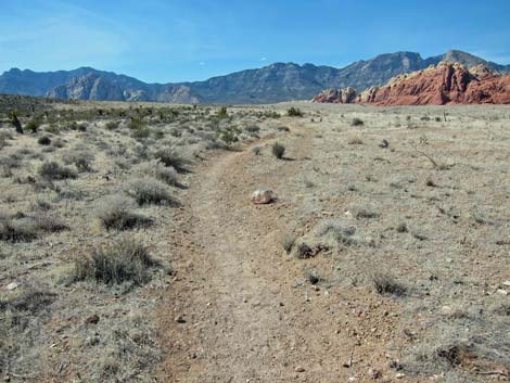
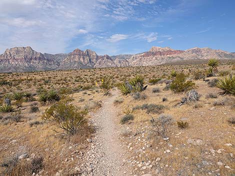
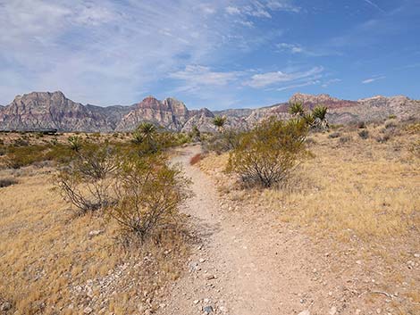
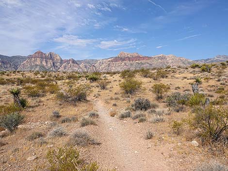
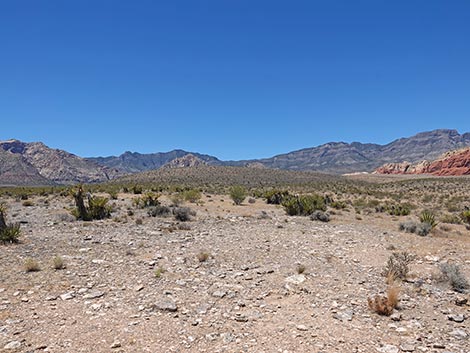
Just across the wash (Wpt. 04), the Moenkopi Trail reaches another trail junction. Here, the Moenkopi Trail turns left, while the Grand Circle Trail (connecting to the Calico Hills Trail and other short Visitor Center Area Trails) continues straight. The Moenkopi Trail runs north up the bajada staying on a low ridge. On this part of the trail, the shrubby vegetation is diverse and dominated by creosote bush, Mojave yucca, and blackbrush. Other common species include composite shrubs, four-wing saltbush, Nevada ephedra, strawberry hedgehog cactus, spiny menodora, desert trumpet, white bursage, and more red brome grass. The trail winds along with grand views in all directions. About 5 to 10 minutes past the trail junction, there is a sign about the formation for the Calico Hills, explaining that they were sand dunes some 180 million years ago. Note that to the west, left of the trail, Moenkopi Hill can be seen rising from the desert flats. |
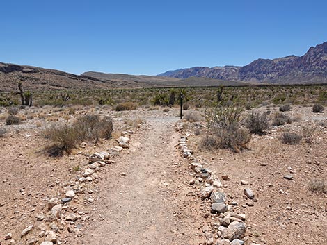
 Trail merges onto an old road (view W) |
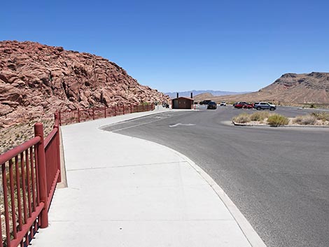
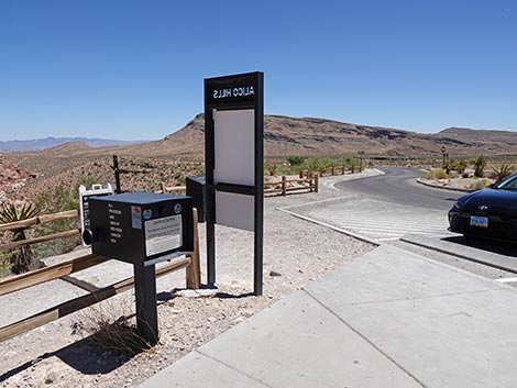
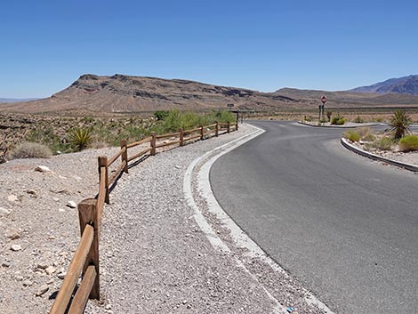
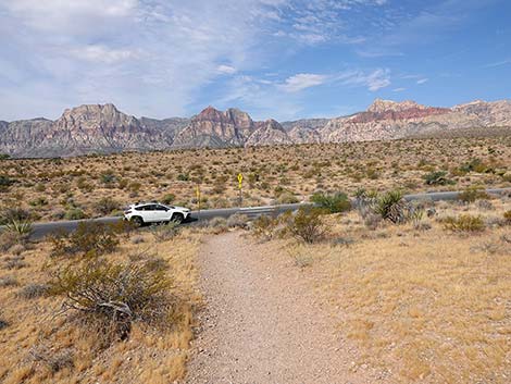
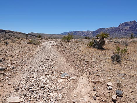
From the information sign, the trail generally runs north-northwest until it is well past (north of) the summit of Moenkopi Hill. The trail then begins a big arc to the northwest. The trail eventually reaches a trail junction (Wpt. 05) where the Moenkopi Trail stays left and the trail to the right heads out to the Calico I Trailhead. From the junction (Wpt. 05), the Ride Share Deluxe Loop Trail runs northeast climbing across rolling terrain. This part of the trail cuts across the heart of the 2005 Loop Fire. The trail drops to cross a major wash, then climbs through three switchbacks to arrive at the edge of the Scenic Loop Road (Wpt. 06). After carefully crossing the Scenic Loop Road (remember, drivers are on vacation and not paying attention), hikers enter the Calico 1 parking area. The route now turns right to head south down through the parking area. Stop and use the outhouse if necessary, then continue to the actual trailhead (Wpt. 07). At the trailhead signs, the Ride Share Deluxe Loop Trail actually stayed inside the fencing and continues south on the edge of the Scenic Loop Road. Fencing here keeps hikers near the pavement, so watch for erratic drivers. |
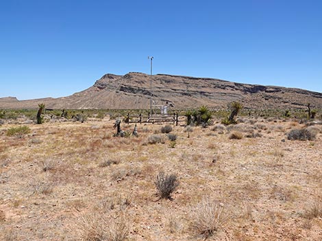
 Moenkopi Trail runs out past the weather station (view NW) |
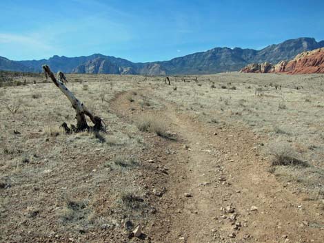
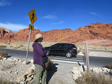
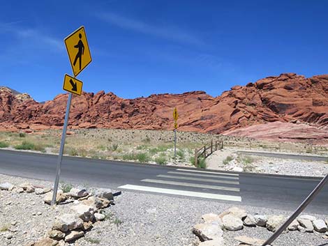
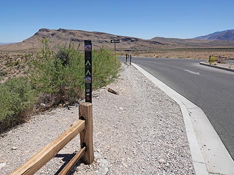
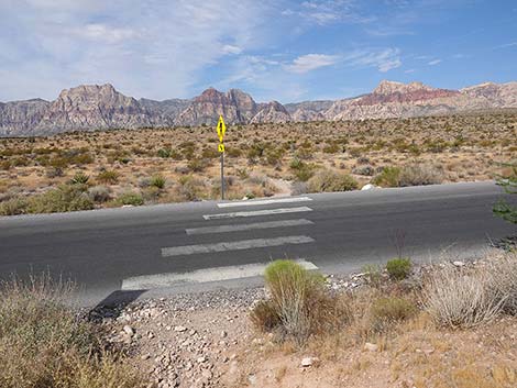
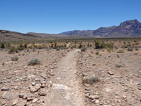
After about 200 yards, the Ride Share Deluxe Loop Trail angles away from the Scenic Loop Road and goes over a low ridge that shields hikers from the sights and sounds of the roadway. This part of the trail runs on the east edge of the Loop Fire, and here some shrubs survived. At about 0.46 miles from Calico 1 Trailhead, the trail reaches 4-way trail junction (Wpt. 08). The Ride Share Deluxe Loop Trail turns right to head east down a wide, shallow gully. In this area, the trail held as a fire line, so this area is now on the edge of the fire. The difference between the burned and unburned desert is apparent. About 200 yards down the gully, hikers encounter another trail junction (Wpt. 09). Here, the Ride Share Deluxe Loop Trail continues straight, while the trail to the left turns south and heads out to the Entrance Fee Station. Continuing down the gully, the trail soon arrives again at the Scenic Loop Road (Wpt. 10). As before, watch for crazy drivers and carefully cross the road. |
 Passing the weather Station (view N) |
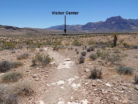
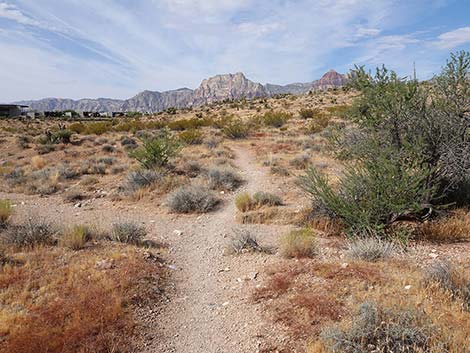
By now, the Visitor Center is clearly visible ahead in the not-too-far distance, and the trail runs southwest through unburned vegetation to pass north of the buildings. When almost past the buildings, hikers arrive at a trail junction (Wpt. 04), which is the Moenkopi Trail again. Continuing straight west on the Moenkopi Trail, hikers cross a wash and climb the far hillside. The trail bends left to runs south, passing the Visitor Center, and arrives at a T-intersection (Wpt. 03) with the Grand Circle Trail. Turing left, hikers head east on the old road past the weather station, then bend left (Wpt. 02) and climb the hill back to the Moenkopi Trailhead (Wpt. 01) and the front of the Visitor Center. |
 Past weather station, hiker approaches trail junction (view NW) |
 Trail junction (view NW) |
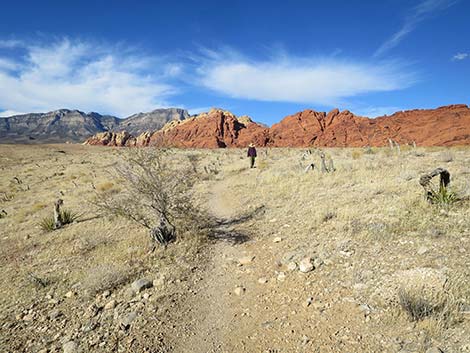
 Moenkopi Trail turns to run northeast (view NE) |
 The trail heads out along-side the Visitor Center (view N) |
 Moenkopi and Grand Circle trails diverge on the hillside (view NE |
 Trail eventually wraps around behind the Visitor Center (view E) |
 Approaching trail junction (view E) |
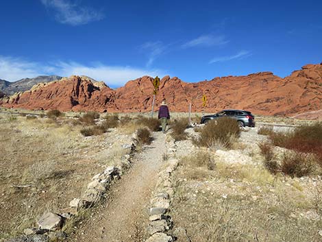
 Signs at trail junction; turn left onto Moenkopi Trail (view E) |
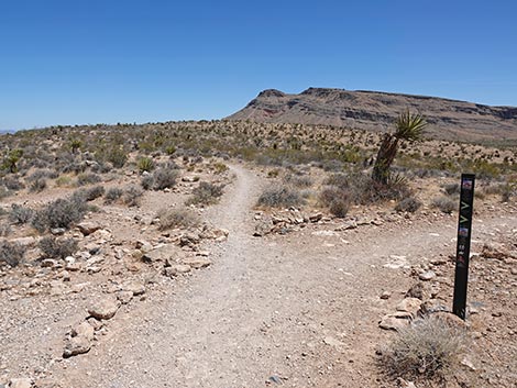
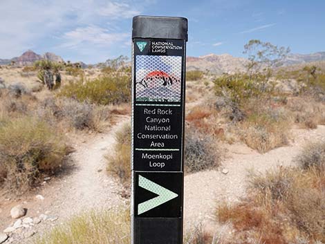 Trail marker details: Moenkopi Trail (view N) |
 Trail marker: Moenkopi Trail (view N) |
 Trail marker details: Moenkopi Trail (view N) |
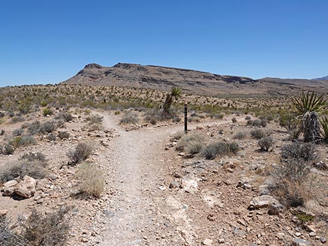
 Ride Share follows Moenkopi Trail (view N) |
 Slight incline (view N) |
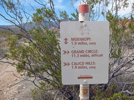
 Approaching an information sign about Prehistoric Sand Dunes |
 Information sign along the trail |
 The landscape levels out (view N) |
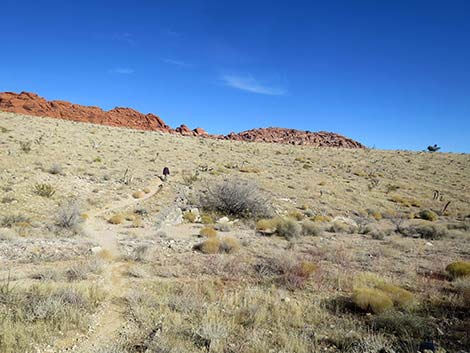
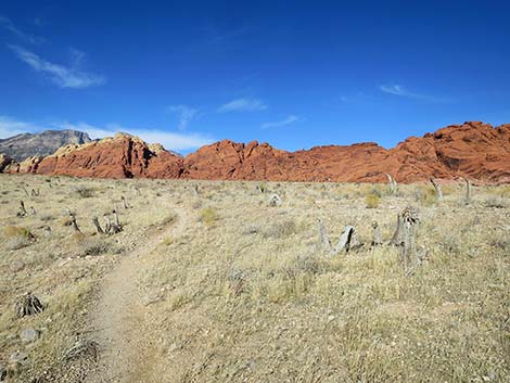
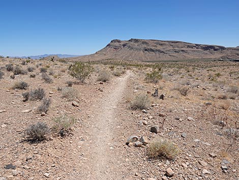
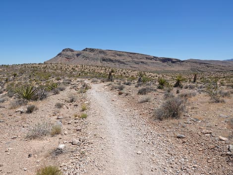
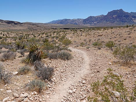
 Heading towards the Calico Hills (view N) |
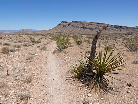
 Trail runs parallel to Moenkopi Ridge (view W) |
 The trail became a fireline in 2005 (view N) |
 The fireline didn't stop the fire here (view N) |
 Unused signpost along the trail (view N) |
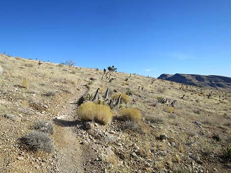
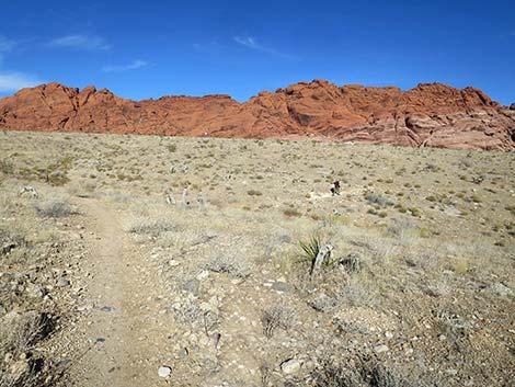
 Still heading north (view N) |
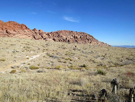
 Approaching a trail junction (view N) |
 Trail junction: Ride Share Deluxe turns right (view NE) |
 Trail traverses gentle terrain across burn scar (view NE) |
 Crossing the heart of the 2005 Loop Fire (view NE) |
 Hiker crossing the Loop Fire burn zone (view NE) |
 Hiker crossing the Loop Fire burn zone (view NE) |
 Trail crosses wash and climbs across hillside (view SE) |
 Trail climbs across hillside (view SE) |
 Trail turns a long switchback (view E) |
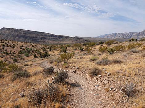
 Trail continues across gentle, rolling terrain (view NW) |
 |
 |
 Trail continues across gentle, rolling terrain (view SE) |
 Trail turns a sharper corner (view E) |
 Trail continues across gentle, rolling terrain (view N) |
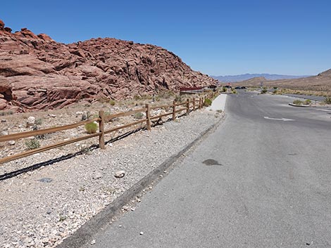
 Ride Share Trail approaching Scenic Loop Road (view NE) |
 Watch for car speeding up the road (view NE) |
 Trail crosses road and stays along fence (view NE) |
 Calico 1 Trailhead parking area (view SE) |
 Ride Share follows gravel sidewalk along the fence (view SE) |
 Ride Share follows gravel sidewalk along the fence (view SE) |
 Ride Share follows sidewalk through the parking area (view SE) |
 Ride Share follows sidewalk through the parking area (view SE) |
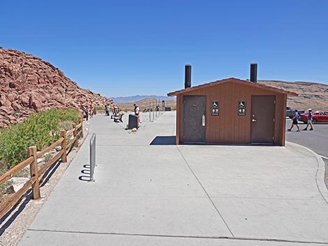 Approaching the vault toilet (view SE) |
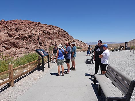 Information signs and seating at Calico 1 overlook (view SE) |
 Ride Share Trail approaching actual Calico 1 Trailhead (view SE) |
 Ride Share Trail at Calico 1 Trailhead sign (view SE) |
 Ride Share Trail continues along the fence (view S) |
 Trail marker (view S) |
 Trail marker details: Calico Hills Trail and Grand Circle Trail (view S) |
 Ride Share runs parallel to Scenic Loop Road (view SE) |
 Ride Share soon departs the Scenic Loop Road (view S) |
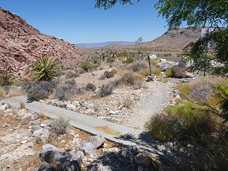 Trail crosses a concrete drainage ditch (view SE) |
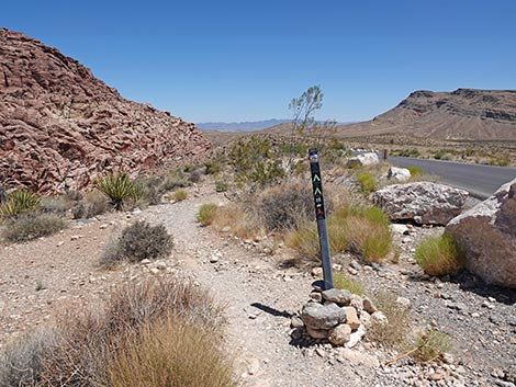 Trail marker (view SE) |
 Trail continues to parallel the Scenic Loop Road (view SE) |
 Trail angles away from Scenic Loop Road (view SE) |
 Trail down gentle slope (view SE) |
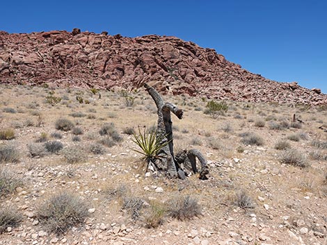
 Mojave Yucca resprouting from the roots (most die) |
 Another Mojave Yucca resprouting from the roots (most die) |
 Trail follows the edge of the 2005 Loop Fire burn zone (view S) |
 Ride Share Trail runs along a low ridgeline (view S) |
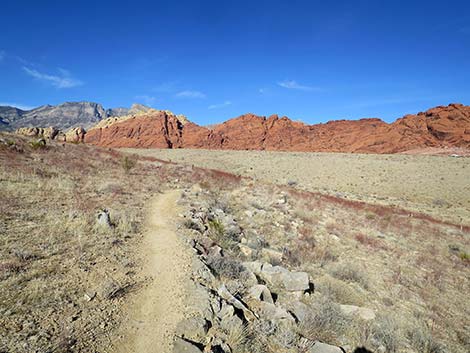
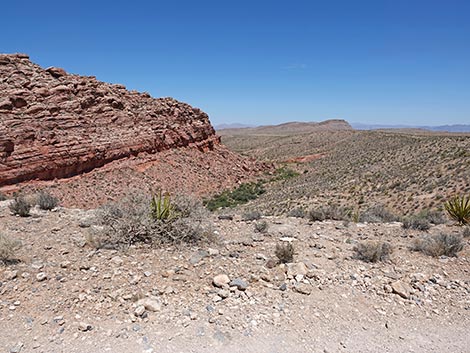 Passing the end of the Calico Hills (view E) |
 Grand scenery: Toe of Calico Hills and Calico Hills Wash (view E) |
 Ride Share Trail approaching a trail junction (view S) |
 Ride Share Trail at a trail junction (view S) |
 Trails to the left lead to Calico Basin trailhead (view SE) |
 Ride Share Trail angles right at trail marker (view SW) |
 Ride Share Trail heads towards the Visitor Center (view SW) |
 Trail starts angling down across hill slopes (view SW) |
 Trail continues down across hill slopes (view SW) |
 Ride Share Trail (view SW) |
 Ride Share Trail approaching another trail junction (view SW) |
 Calico Hills Trail forks left at trail marker (view S) |
 Trail marker details; Grand Circle stays right (view S) |
 Ride Share stays right on Grand Circle Trail (view SW) |
 Nice views of the Red Rocks Cliffs in the distance (view W) |
 Watch for car speeding up the Scenic Loop Road (view W) |
 Trail crosses the Scenic Loop Road (view W) |
 Trail continues straight across the road (view NW) |
 Trail crosses small washes that might look like trails (view W) |
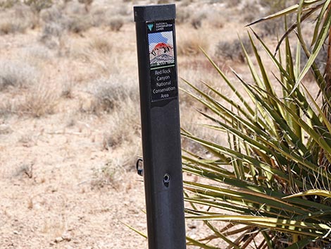
 Trail sign: restoration in progress, stay on trail (view SW) |
 Nice views of the Red Rocks Cliffs in the distance (view W) |
 More nice views of the Red Rocks Cliffs in the distance (view W) |
 Ride Share approaching a trail junction (view SW) |
 Familiar signs at the Moenkopi Trail junction (view NW) |
 Sign: note that the Grand Circle goes both ways (view N) |
 Trail marker at Moenkopi Trail junction (view NW) |
Trail marker details (view NW) |
 Ride Share continues past Moenkopi Trail junction (view NW) |
 Trail climbs out of wash bottom (view W) |
 At top of bank, trail turns left (view S) |
 The Visitor Center remains visible on the left (view SE) |
 Ride Share Trail (view S) |
 Moenkopi Hill and the Red Rocks cliffs (view NW) |
 Ride Share Trail (view S) |
 Ride Share Trail (view S) |
 The weather station comes into view on the left (view SE) |
 Ride Share Trail (view S) |
 Trail marker (actually a trail counter) (view S) |
 Ride Share Trail approaching a trail junction (view S) |
 Ride Share Trail at trail junction with marker (view S) |
 Trail marker details: this side shows Grand Circle Trail going West |
 Trail marker details: other side shows Moenkopi Trail going east |
 Trail turns left to merge onto Great Circle Trail (view SE) |
 Trail continues towards Visitor Center (view E) |
 Trail continues towards Visitor Center (view E) |
 Final trail junction: stay left to Visitor Center (view E) |
 Trail marker; trail leaves old road (view E) |
 Trail marker details (view NE) |
 Ride Share Trail approaching the Visitor Center (view NE) |
 Moenkopi Trail approaching the Visitor Center (view NE) |
 Moenkopi Trail approaching the Visitor Center (view NE) |
 Moenkopi Trail approaching the trailhead (view NE) |
 Moenkopi Trail at the trailhead signs (view NE) |
Table 1. Hiking Coordinates and Distances based on GPS Data (NAD27; UTM Zone 11S). Download Hiking GPS Waypoints (*.gpx) file.
| Wpt. | Location | UTM Easting | UTM Northing | Elevation (ft) | Point-to-Point Distance (mi) | Cumulative Distance (mi) |
|---|---|---|---|---|---|---|
| 01 | Moenkopi Trailhead | 641502 | 3999882 | 3,780 | 0.00 | 0.00 |
| 02 | Trail Junction, Old Road | 641374 | 3999808 | 3,773 | 0.14 | 0.14 |
| 03 | Trail Junction, Grand Circle | 641316 | 3999830 | 3,743 | 0.04 | 0.18 |
| 04 | Trail Junction, Grand Circle | 641399 | 3999995 | 3,732 | 0.14 | 0.32 |
| 05 | Trail Junction, Calico 1 | 640896 | 4000740 | 3,910 | 0.60 | 0.92 |
| 06 | Scenic Loop Road | 641030 | 4001195 | 3,903 | 0.46 | 1.38 |
| 07 | Calico 1 Trailhead | 641259 | 4001094 | 3,951 | 0.17 | 1.55 |
| 08 | Trail Junction | 641716 | 4000525 | 3,809 | 0.46 | 2.01 |
| 09 | Trail Junction | 641692 | 4000345 | 3,790 | 0.12 | 2.13 |
| 10 | Scenic Loop Road | 641613 | 4000270 | 3,765 | 0.08 | 2.21 |
| 04 | Trail Junction, Grand Circle | 641399 | 3999995 | 3,732 | 0.24 | 2.45 |
| 03 | Trail Junction, Grand Circle | 641316 | 3999830 | 3,743 | 0.13 | 2.58 |
| 02 | Trail Junction, Old Road | 641374 | 3999808 | 3,773 | 0.04 | 2.62 |
| 01 | Moenkopi Trailhead | 641502 | 3999882 | 3,780 | 0.14 | 2.76 |
Happy Hiking! All distances, elevations, and other facts are approximate.
![]() ; Last updated 250619
; Last updated 250619
| Hiking Around Red Rocks | Hiking Around Las Vegas | Glossary | Copyright, Conditions, Disclaimer | Home |