Backroads Around Las Vegas, Red Rock Canyon National Conservation Area
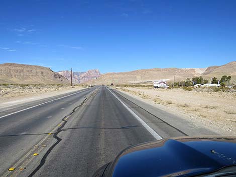
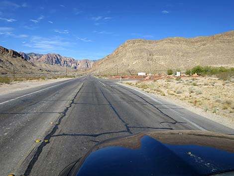
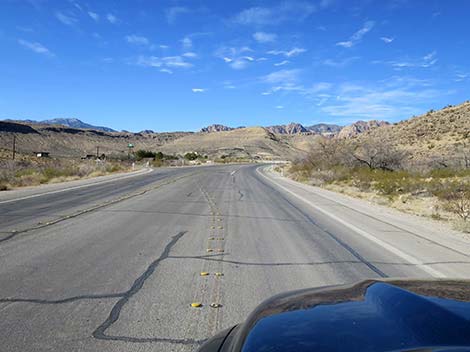
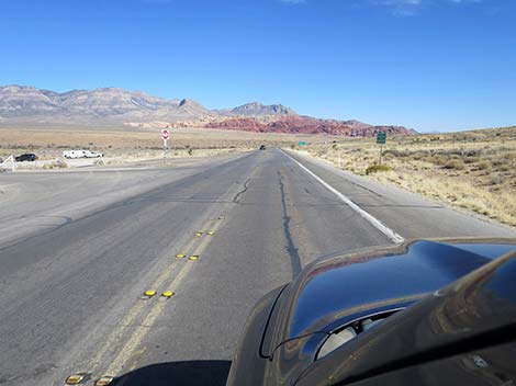
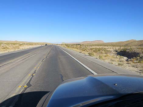
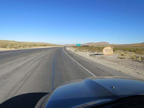
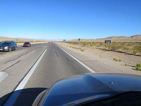
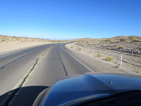
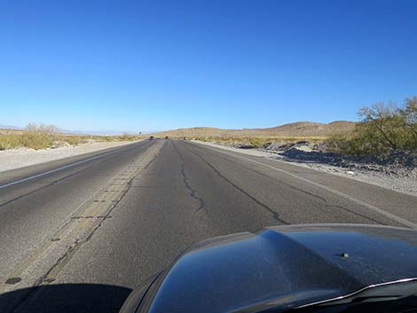
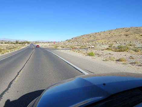
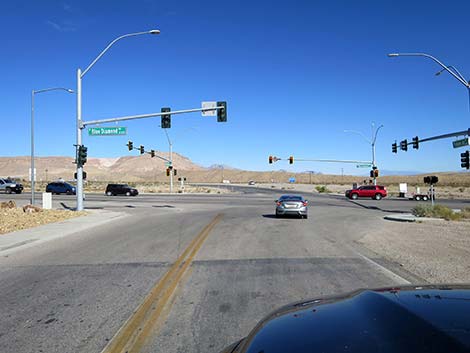 Erskine Jct Road (view N; W Charleston starts across Highway 160) Erskine Jct Road (view N; W Charleston starts across Highway 160) |
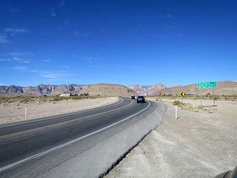
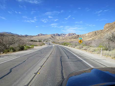
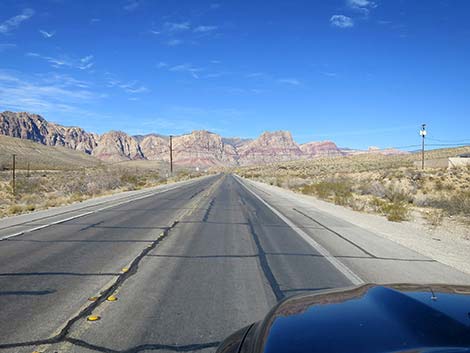
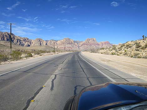
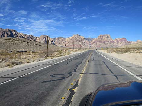
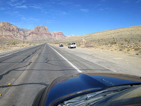
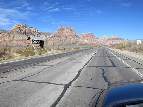
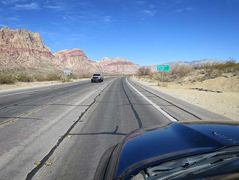
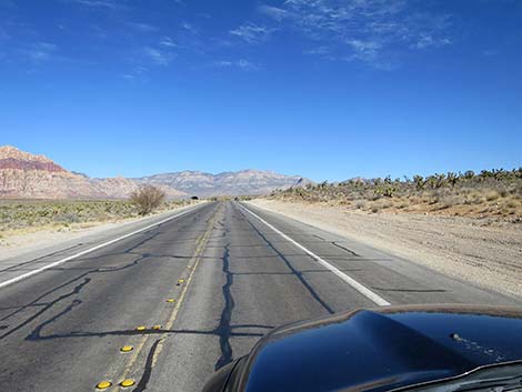
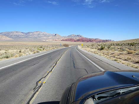
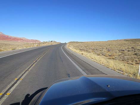
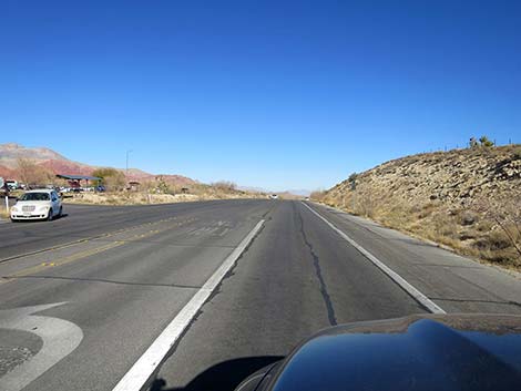
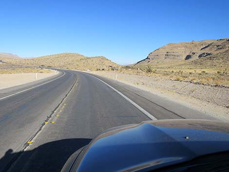
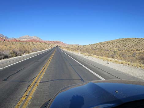
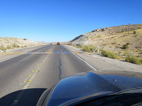
Overview West Charleston Blvd (Highway 159) is the access road to Red Rock Canyon National Conservation Area from west Las Vegas in the north or from Highway 160 in the south. The road is paved, two lanes (one in each direction), and has bicycle lanes that are also used by runners, people on scooters of various sorts, and people pushing baby strollers, so drivers need to always pay extra attention despite the stunning scenery. West Charleston Blvd provides access to the main part of Red Rock Canyon NCA, two Wilderness areas, numerous hikes, scenic pullouts, rock climbs, picnic areas, Spring Mountain Ranch State Park, Cowboy Trail Rides, lots of grand scenery, plus Eastern Joshua Trees and a variety of desert vegetation. Presented here are photos of West Charleston Eastbound because it always looks different the other way. For a detailed description of the road, including directions, maps, GPS coordinates, and more photos, see West Charleston Blvd Westbound. |
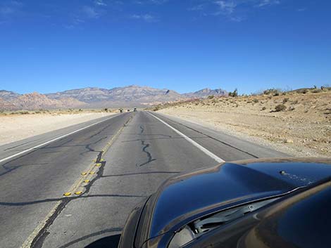
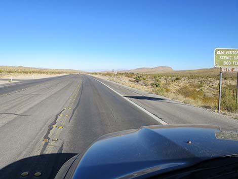
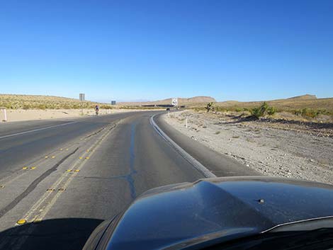
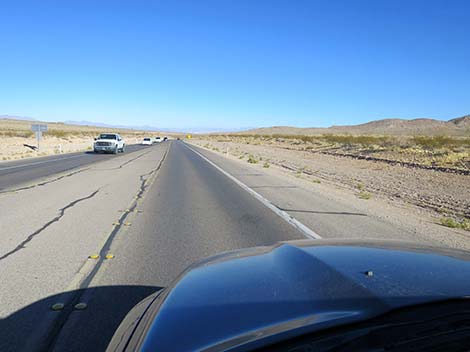
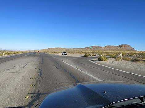
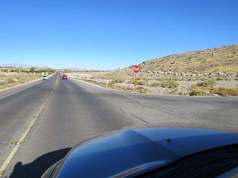
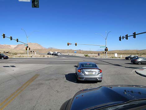 Erskine Jct Road. W Charleston starts across Highway 160 (view N) |
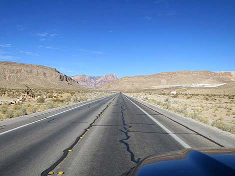
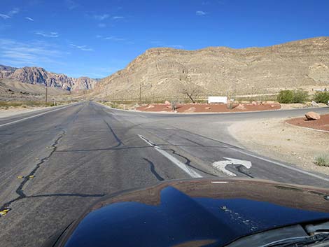
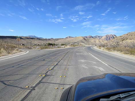
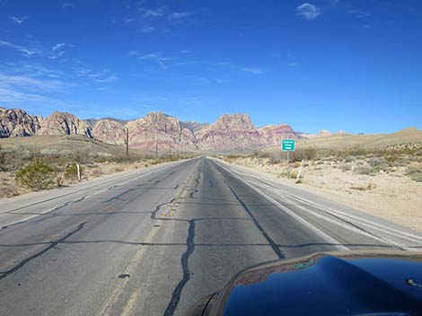
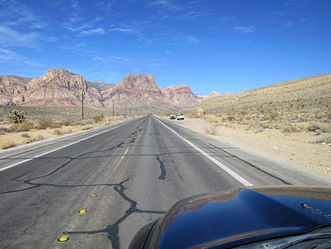
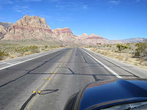
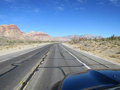
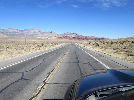
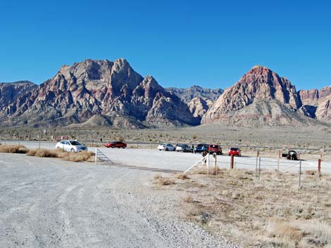
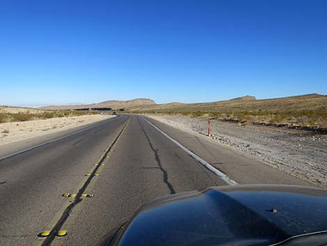
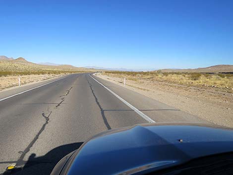
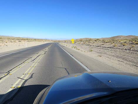
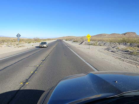
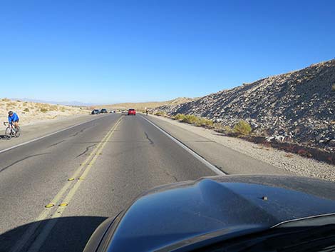
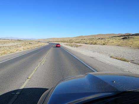
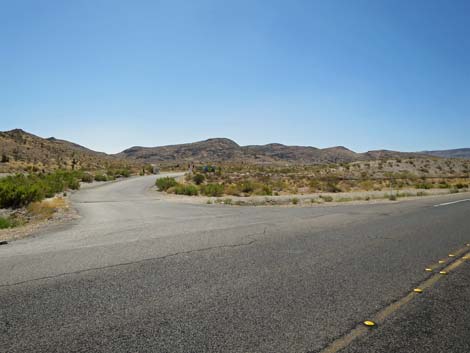
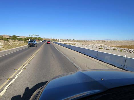
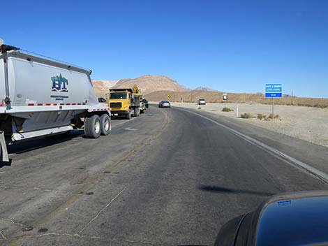 W Charleston just north of Highway 160 (view N) |
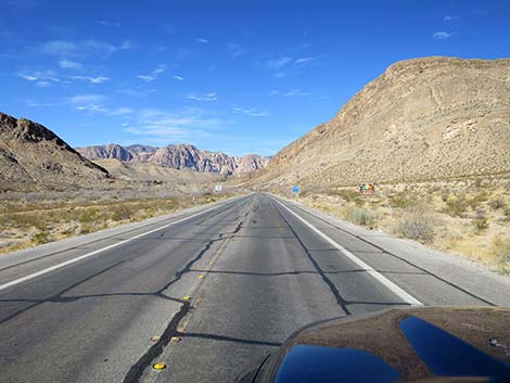
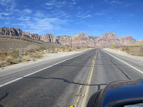
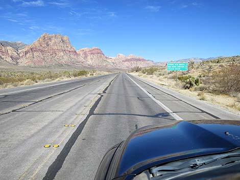
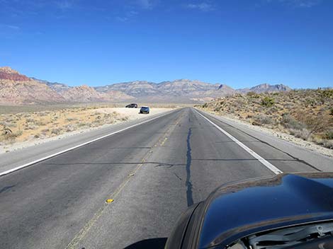
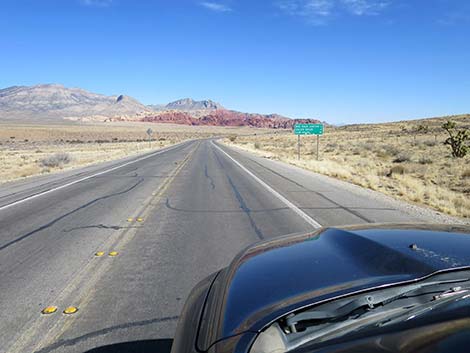
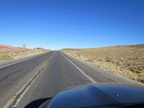
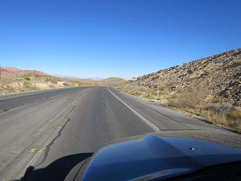
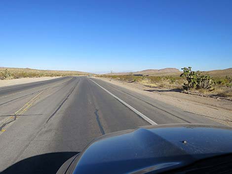
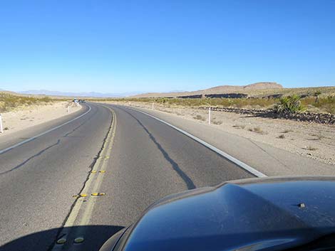
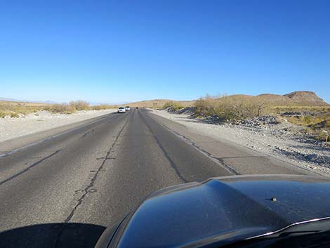
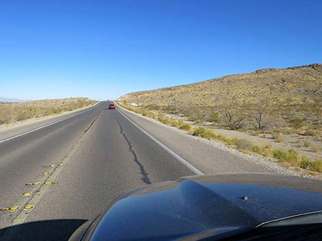
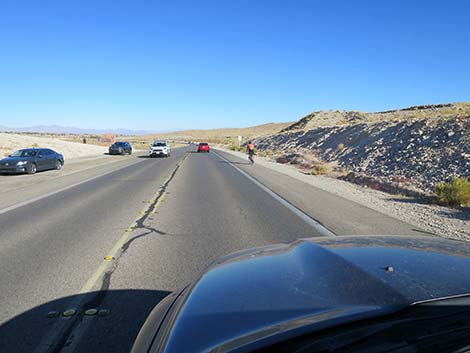
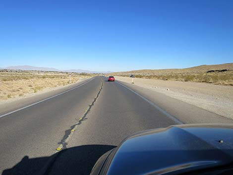
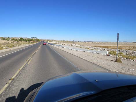
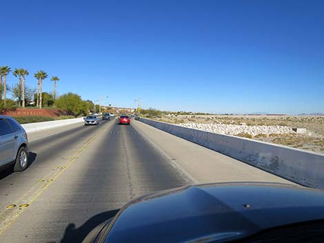
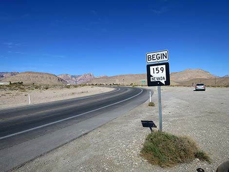 W Charleston Blvd is also Highway 159 (view N) |
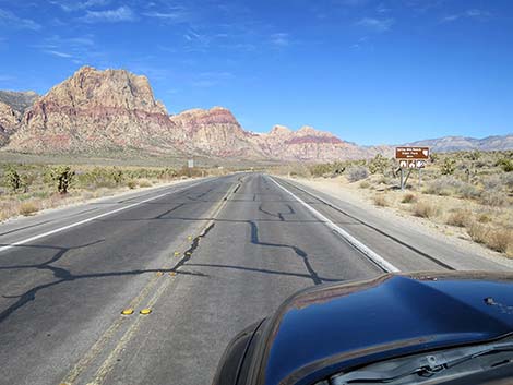
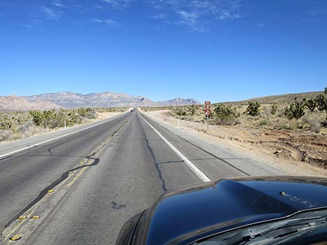
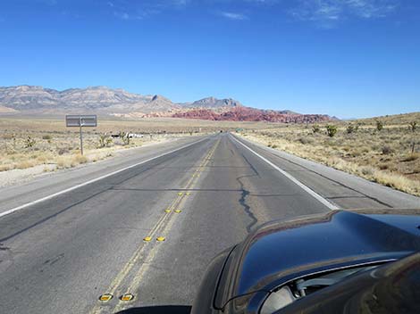
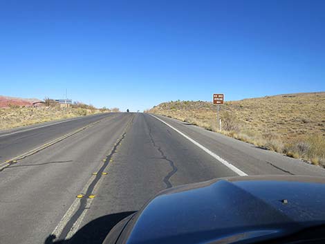
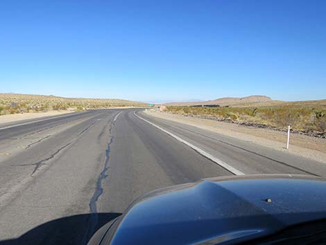
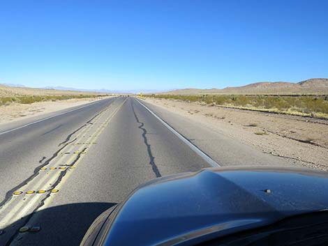
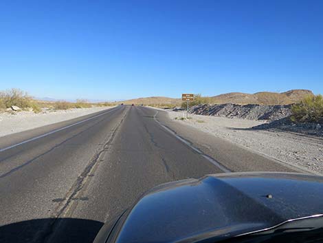
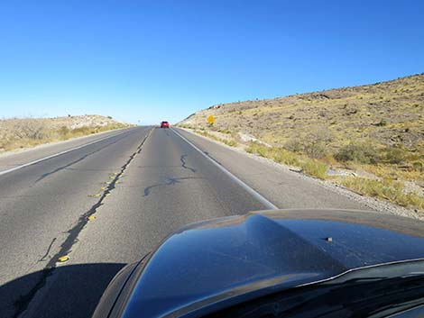
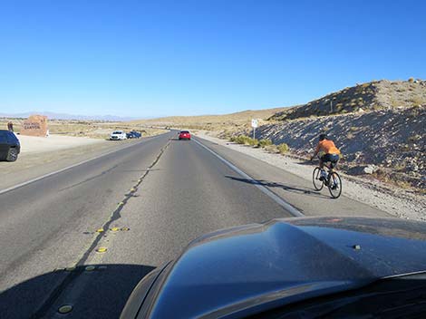
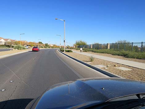
 Sign: distances to select points of interest (view NW) |
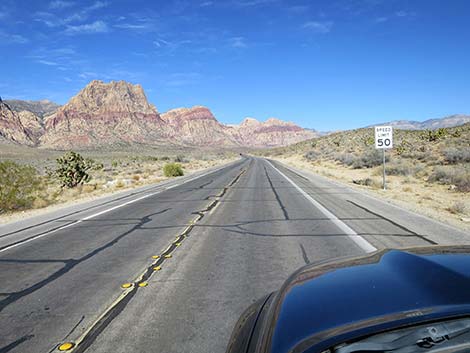
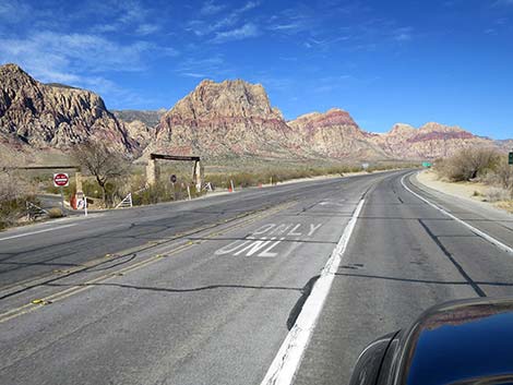
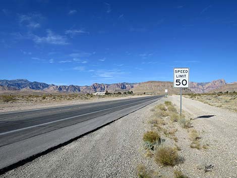 The speed limit in the entire road is 50 mph (view NW) |
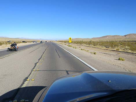
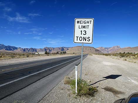 For heavy vehicles, 13 ton limit (view NW) |
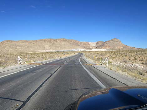
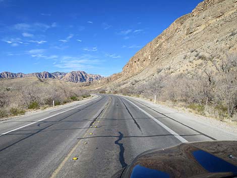
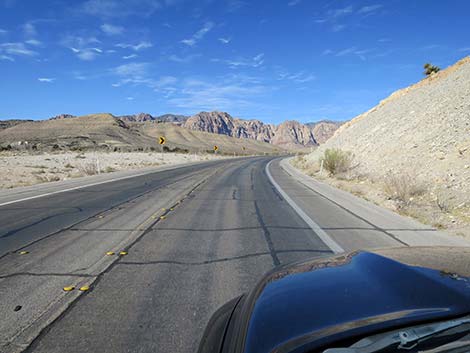
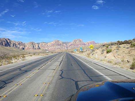
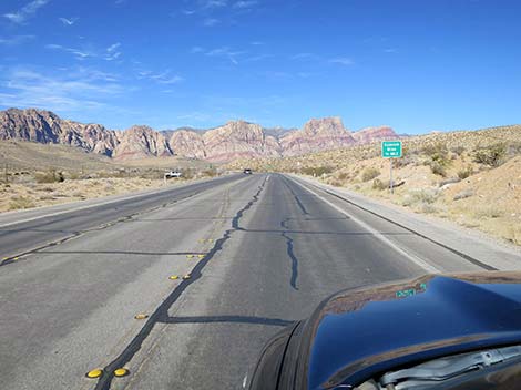
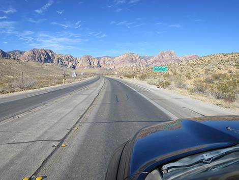
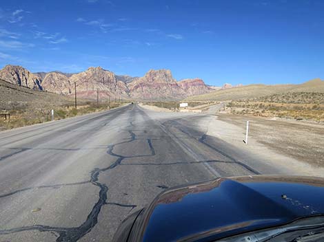
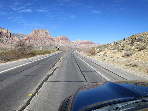
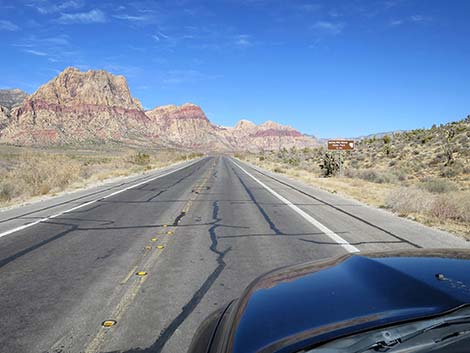
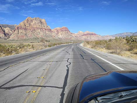
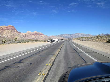
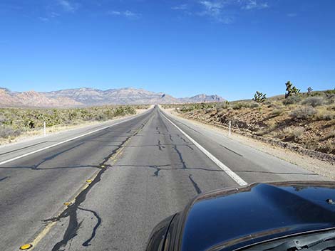
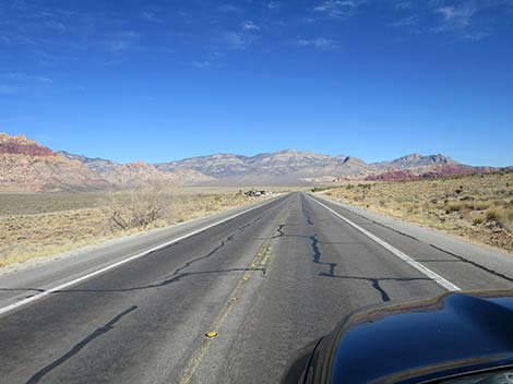
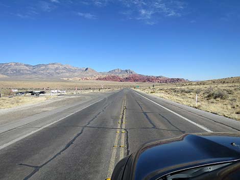
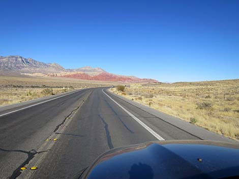
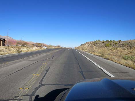
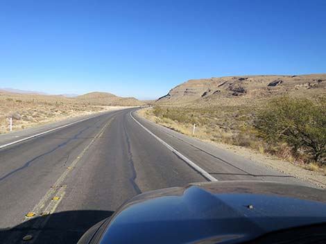
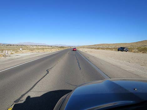
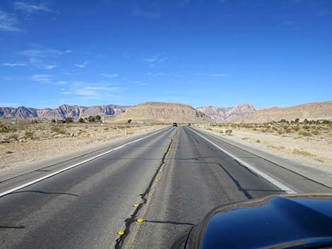 The top of the Red Rock cliffs are visible in the distance (view NW) |
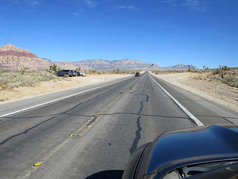
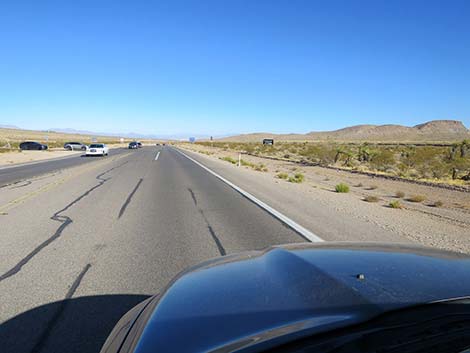
 Approaching Cactus Joe's nursery (view NW) |
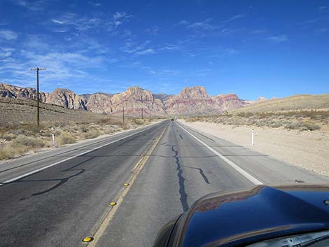
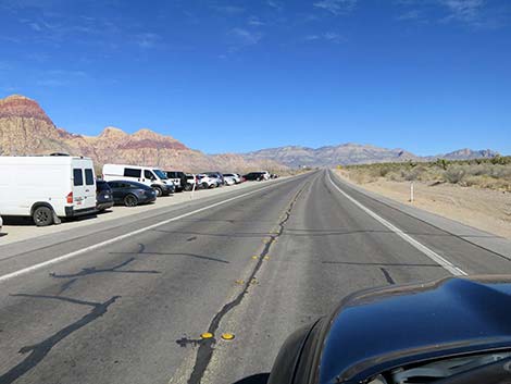
 W Charleston heading into the desert (view NW) |
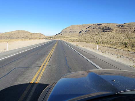
 W Charleston crossing a cattle guard (view N) |
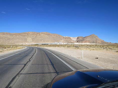 Approaching the Blue Diamond Hill Gypsum Plant (view W) |
 W Charleston approaching the Gypsum Plant Road (view W) |
 W Charleston at Gypsum Plant Road (view W) |
 W Charleston continuing past the Gypsum Plant (view W) |
 W Charleston entering a gap in Blue Diamond Hill (view W) |
 W Charleston passing through gap in Blue Diamond Hill (view W) |
 No sign, but W Charleston entering Red Rock Canyon NCA (view W) |
 W Charleston at Arroyo Road; east entrance to Blue Diamond |
 Blue Diamond Town, on the left (view NW) |
 Passing Blue Diamond Town, on the left (view NW) |
 Passing Blue Diamond Town, on the left (view NW) |
 W Charleston approaching main road into Blue Diamond (view NW) |
 Directional signs past Blue Diamond |
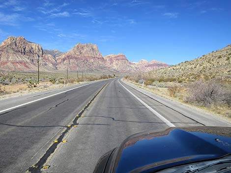
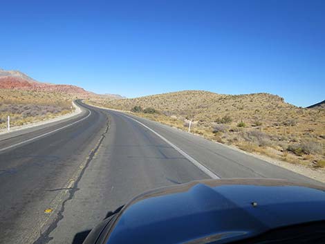
 The Red Rock Cliffs really come into view (view NW) |
 Sign: Gypsum Mine to the left -- watch for slowing trucks (view NW) |
 W Charleston at Gypsum Mine Road (view NW) |
 Big views (view NW) |
 W Charleston approaching Wheeler Camp Spring Road (view NW) |
 W Charleston at Wheeler Camp Spring Road (view NW) |
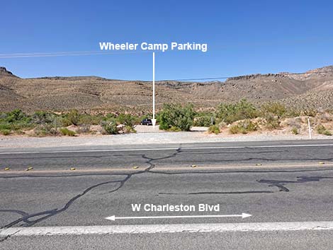 Wheeler Camp Spring Road (view SW from West Charleston) |
 W Charleston approaching Red Rocks entrance sign (view NW) |
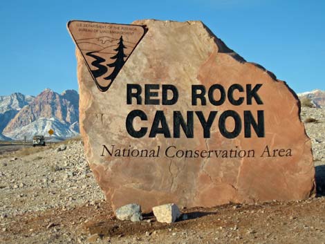
 W Charleston at Red Rocks entrance sign (view NW) |
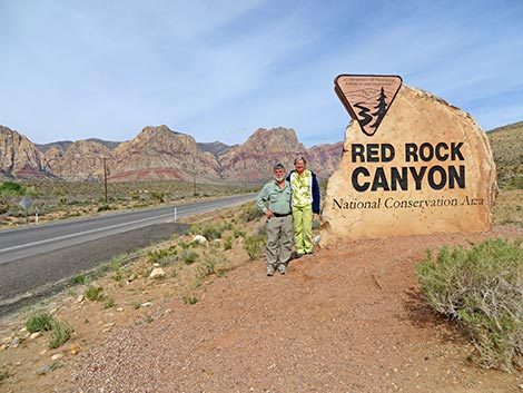 Red Rocks south entrance sign (view NW) |
 Grand views from the roadway (view NW) |
 W Charleston approaching old Bonnie Springs (closed; view NW) |
 W Charleston at old Bonnie Springs (closed; view NW) |
 Sign: distances to points of interest (view NW) |
 Sign: the speed limit remains 50 mph (view NW) |
 Sign: Spring Mtn Ranch State Park 1/4 miles ahead (view NW) |
 The full length of the Red Rock Cliffs come into view (view NW) |
 Sign: Spring Mtn Ranch State Park next left (view NW) |
 W Charleston approaching Spring Mtn Ranch State Park (view NW) |
 W Charleston at Spring Mtn Ranch State Park Road (view NW) |
 Sign: distances to select points of interest (view NW) |
 Sign: Don't feed wild horses $500 fine (view NW) |
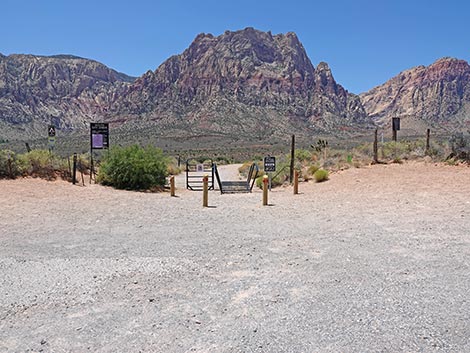
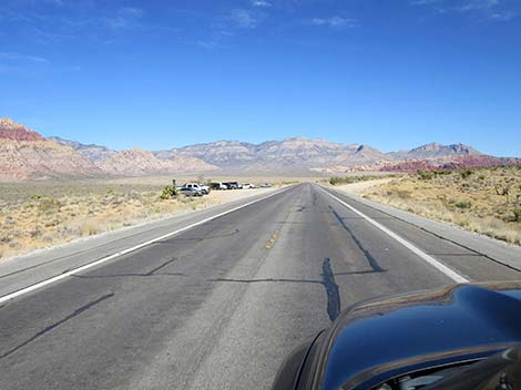
 W Charleston approaching First Creek Trailhead Parking (view N) |
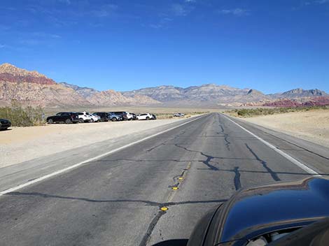
 W Charleston at First Creek Trailhead Parking (view N) |
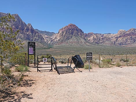
 First Creek Trailhead Parking (view W from W Charleston Blvd) |
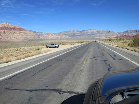
 W Charleston continuing past First Creek Trailhead (view N) |
 Grand view of the La Madre Range (view N) |
 W Charleston approaching South Oak Creek Trailhead (view N) |
 W Charleston at South Oak Creek Trailhead (view N) |
 South Oak Creek Trailhead parking (view W from W Charleston) |
 W Charleston continuing past South Oak Creek Trailhead (view N) |
 W Charleston approaching an undeveloped scenic viewpoint (view N) |
 Calico Hills (red crags at right) come into view (view N) |
 W Charleston approaching Middle Oak Creek Trailhead (view N) |
 W Charleston approaching Middle Oak Creek Trailhead (view N) |
 Middle Oak Creek Trailhead (view W from W Charleston) |
 W Charleston approaching alternate Middle Oak Creek Trailhead |
 W Charleston continuing past Middle Oak Creek Trailhead (view N) |
 La Madre Mts and Calico Hills (red crags at right) in full glory (view N) |
 Grand views (view N) |
 W Charleston approaching Scenic Loop Exit (view N) |
 W Charleston approaching Scenic Loop Exit (view N) |
 W Charleston at Scenic Loop Exit (view N) |
 Scenic Loop Exit Trailhead Parking (view W from W Charleston) |
 Sign: distances to select points of interest (view NW) |
 Another nice view of the Calico Hills (view NE) |
 W Charleston curves to the right and climbs hill (view NE) |
 W Charleston climbing hill (view NE) |
 Sign: Red Rock Overlook ahead on the left (view NE) |
 W Charleston approaching Red Rock Overlook (view NE) |
 W Charleston at Red Rock Overlook entrance (view NE) |
 Red Rock Overlook (view N from W Charleston) |
 W Charleston continuing past Red Rock Overlook (view NE) |
 The north end of Blue Diamond Hill comes into view (view NE) |
 Blue Diamond Hill has some nice hikes (view E) |
 W Charleston approaching Cowboy Trail Rides Trailhead (view NE) |
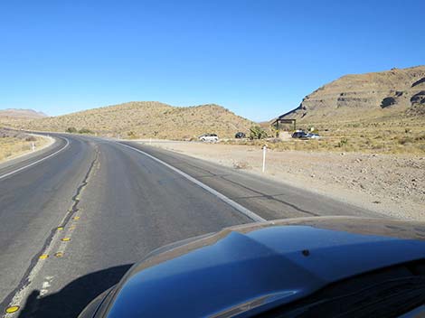 W Charleston at Cowboy Trail Rides Trailhead (view NE) |
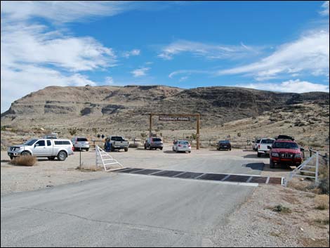 Cowboy Trail Rides Trailhead (view E from W Charleston) |
 W Charleston continuing past Cowboy Trail Rides Trailhead (view NE) |
 Nice view of the south end of the Calico Hills (view NE) |
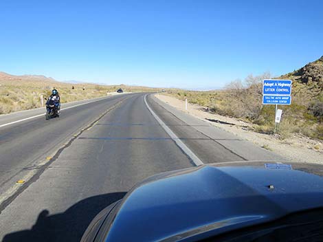 Always keep an eye out for motorcycles (view NE) |
 W Charleston Blvd (view NE) |
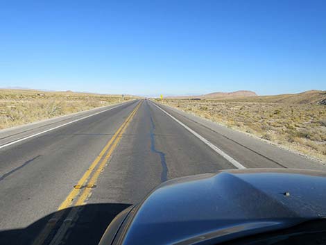 W Charleston Blvd (view NE) |
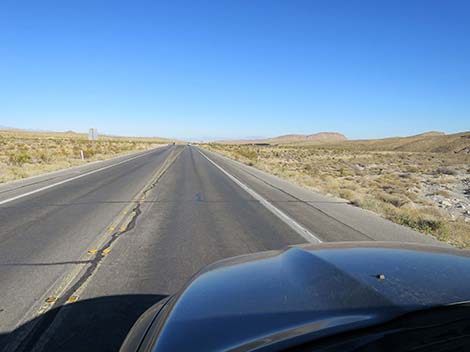 W Charleston Blvd (view NE) |
 W Charleston approaching Visitor Center exit road (view NE) |
 W Charleston at Visitor Center exit road (view NE) |
 W Charleston passing Visitor Center exit road (view NE) |
 W Charleston approaching Scenic Loop Road entrance (view NE) |
 W Charleston at Scenic Loop Road entrance (view NE) |
 Sign: Scenic Loop Road entrance (view NE) |
 Scenic Loop Road entrance (view NW from West Charleston) |
 Scenic Loop Road entrance sign (view NW) |
 W Charleston continuing past Scenic Loop Road entrance (view NE) |
 W Charleston winds down the gentle slope of the valley (view NE) |
 W Charleston (view NE) |
 W Charleston (view NE) |
 W Charleston (view NE) |
 Sign: vehicles turning left ahead (view NE) |
 W Charleston approaching Calico Basin Road (view NE) |
 W Charleston at Calico Basin Road (view NE) |
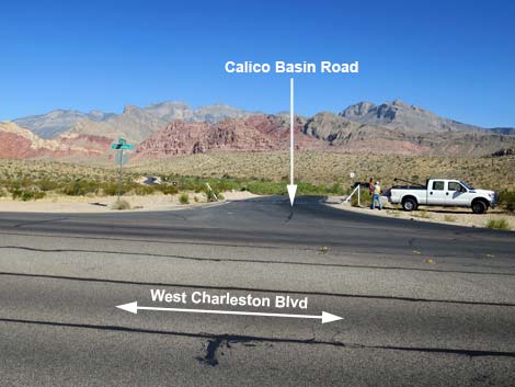 Calico Basin Road (view N from West Charleston Blvd) |
 W Charleston continuing past Calico Basin Road (view NE) |
 W Charleston (view NE) |
 W Charleston (view NE) |
 Sign: Watch for bike riders - share the road (view NE) |
 W Charleston crosses a broad wash - sometime flooded (view NE) |
 Sign: BLM Fire Station (and campground) ahead on right (view NE) |
 W Charleston crossing the broad wash (view NE) |
 W Charleston at Moenkopi Road (view E) |
 Moenkopi Road [to Fire Stn & camp] (view S from W Charleston) |
 W Charleston continuing past Moenkopi Road (view E) |
 W Charleston approaching low rise - use caution here (view E) |
 W Charleston approaching low rise - use caution here (view E) |
 W Charleston approaching a cattle guard (view E) |
 W Charleston atop low rise - entering congested area (view E) |
 W Charleston approaching Red Rocks entrance sign (view E) |
 W Charleston at Red Rocks entrance sign (view E) |
 Welcome to Red Rock Canyon NCA photo-opp site (view SW) |
 W Charleston continuing past Red Rocks entrance sign (view E) |
 W Charleston approaching Model Airplane Park (view NE) |
 W Charleston at Model Airplane Park (view NE) |
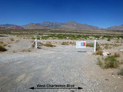 Soaring Club Road (view N from West Charleston Blvd) |
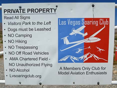 Sign: Las Vegas Soaring Club rules |
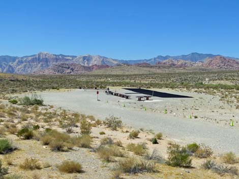 Las Vegas Soaring Club model aircraft airstrip (view NW) |
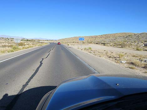 W Charleston continuing past the Airplane Park (view NE) |
 W Charleston approaching the Gun Club entrance road (view NE) |
 W Charleston at the Gun Club entrance road (view NE) |
 Gun Club Road (view S from W Charleston) |
 W Charleston continuing past the Gun Club (view NE) |
 W Charleston approaching a flood retention basin (view NE) |
 W Charleston crossing the flood retention basin bridge (view NE) |
 W Charleston entering urban Las Vegas (view NE) |
 More to come ... |
Happy Hiking! All distances, elevations, and other facts are approximate.
![]() ; Last updated 240603
; Last updated 240603
| Backroads | Hiking Around Las Vegas | Glossary | Copyright, Conditions, Disclaimer | Home |