Hiking Around Las Vegas, Red Rock Canyon National Conservation Area
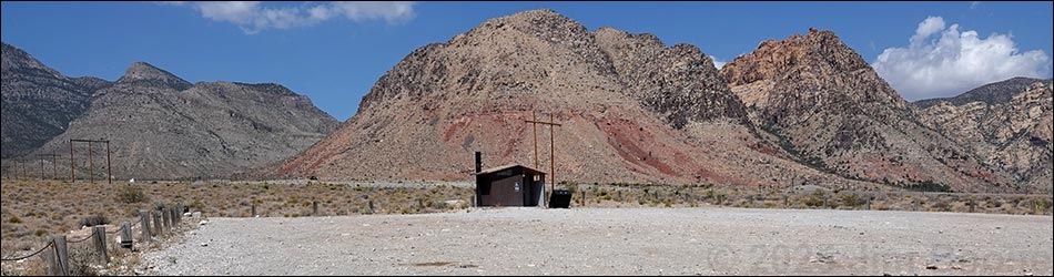
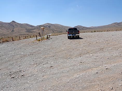
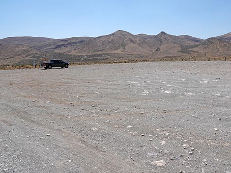
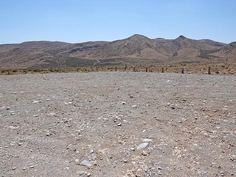
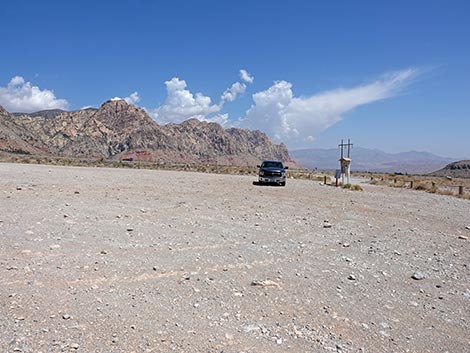
 Large trailhead parking area (view W) |
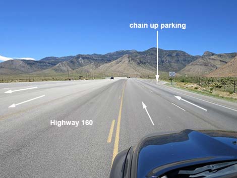
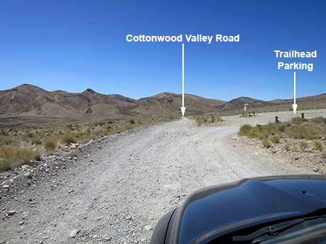
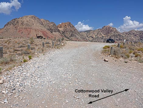
The Cottonwood Trailhead is located in Red Rock Canyon National Conservation Area, about 30 minutes west of Las Vegas, but not in the Scenic Loop Road area. The trailhead is located on Highway 160, west of the intersection with Highway 159 (West Charleston Blvd). This trailhead is not in the fee area. From town, drive out to Red Rocks. From West Charleston at the entrance to the Scenic Loop Road (Table 1, Site 0519), continue west on Charleston Blvd (Hwy 159) all the way past Blue Diamond town to Highway 160 (Site 0848). Turn right onto Highway 160, towards Pahrump, and drive west for 5.9 miles. Watch for a broad, dirt road on the left, a vault toilet in the distance (200 yards out), and a paved, slow-vehicle passing zone on the right; there is no sign on the highway. Turn left onto the dirt Cottonwood Valley Road (Site 0849) and drive south about 200 yards to the large, dirt parking area on the right (Site 1073). Park here; this is the trailhead. |
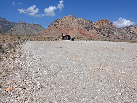
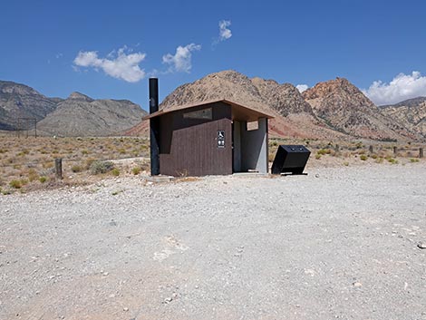 A toilet with a view (view N) |
Link to trailhead map. The left turn from Highway 160 onto Cottonwood Valley Road can be very dangerous because drivers coming down the hill often are moving over 80 mph and drivers going up the hill already are annoyed by people driving too slowly and are prone to passing despite the double yellow lines. It might be best to pull into the slow-vehicle turnout and wait for traffic to clear before making the left turn. The Cottonwood Trailhead primarily is used by mountain bike riders to access the Cottonwood Valley South bike trail system; however, it also provides access to miles of fairly easy hiking. Trails: Birdspring Mountain, Dinosaur Teeth, Dead Horse Loop, Bonnie and Clyde, Lombard Crash Site. |
 Highway 160 passing end of highway divider (view W) |
 Highway 160 at Chain Up parking area (view W) |
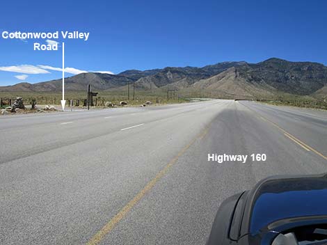
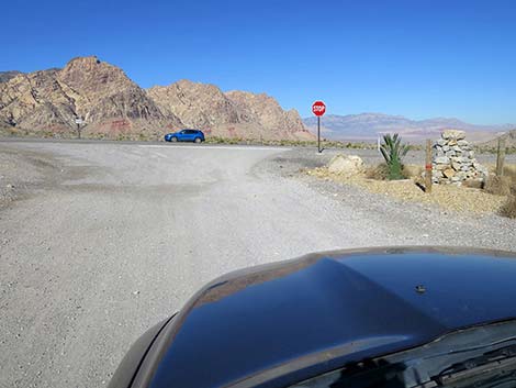
 Highway 160 at Cottonwood Valley Road (view S) |
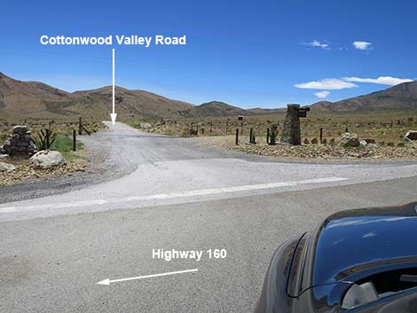
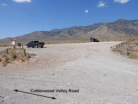
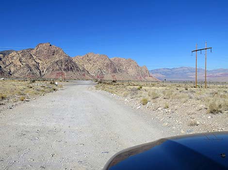
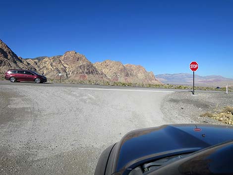
 Cottonwood Valley Road (view S from Highway 160) |
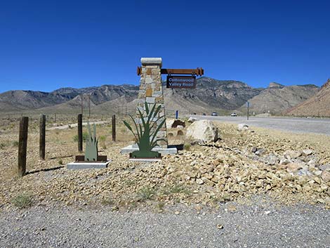 Cottonwood Valley Road sign (view W) |
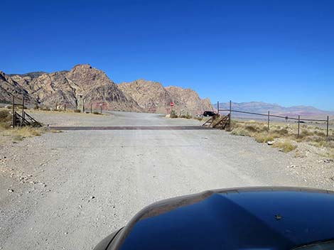
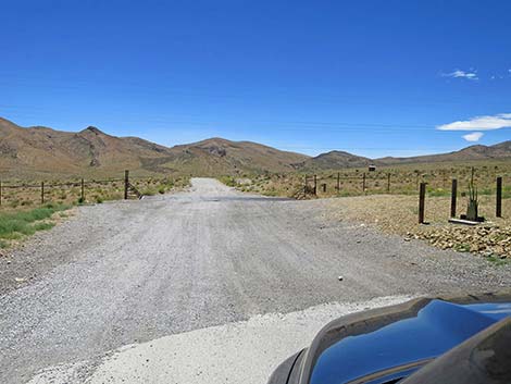 Cottonwood Valley Road approaching cattle guard (view S) |
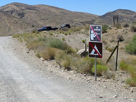 Signs: No Shooting and No Camping (view S) |
 CV Road approaching trailhead parking (view SW) |
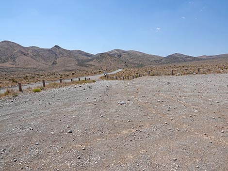
 CV Road approaching trailhead parking (view S) |
 Turning into the trailhead parking area (view SW) |
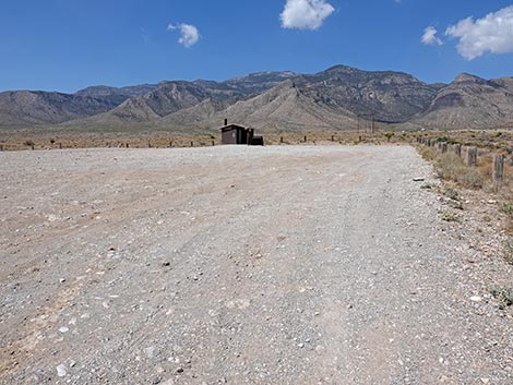
Entering the large parking area (view W towards outhouse) |
 Parking near the information sign (view S towards info sign) |
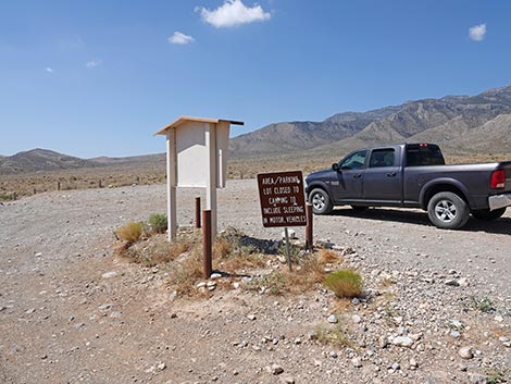 Information signs (view S) |
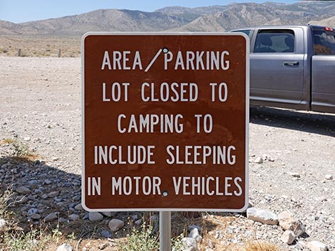 Sign: no camping here (view SW) |
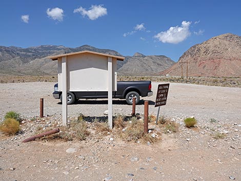 Information signs (view S) |
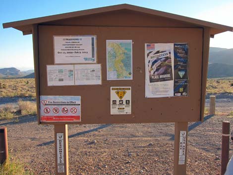 Info sign (view E) |
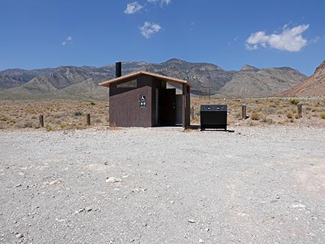 Outhouse at west edge of parking area (view W) |
 Trailhead parking (view E from near outhouse) |
 Trailhead parking (view NE towards north exit) |
 Trailhead parking (view E towards south exit) |
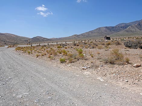
 Cottonwood Valley Road (view S into the desert) |
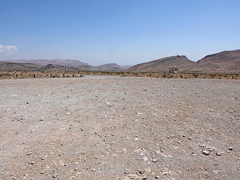
 East edge of trailhead parking area (view S) |
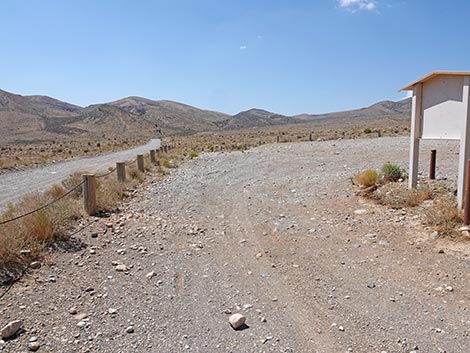
 Exiting the parking area onto Cottonwood Valley Road (view SE) |
 More to come ... |
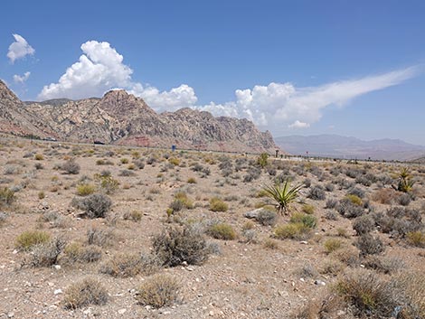
Grand Scenery at the Trailhead -- worth stopping just for the view
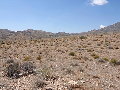 Cottonwood Valley (view S towards Cottonwood Pass) |
 Cottonwood Valley (view SW towards Mt Potosi) |
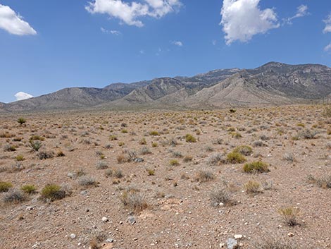
 Cottonwood Valley (view NW towards Red Rock Cliffs) |
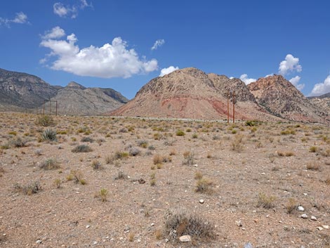
 Cottonwood Valley (view N towards storms and Red Rock Cliffs) |
Cottonwood Valley Road approaching Cottonwood Valley Trailhead Northbound
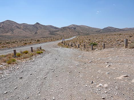
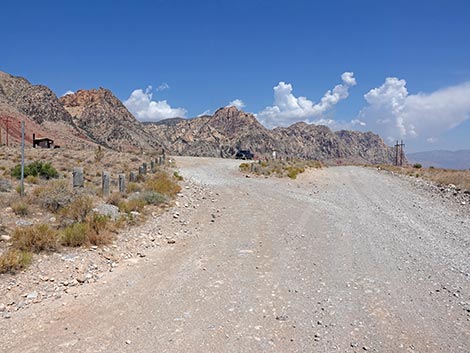 Cottonwood Valley Rd approaching Trailhead parking (view N) |
 Entering Cottonwood Valley Trailhead (view NW) |
 Entering the trailhead parking towards outhouse (view NW) |
 Entering the trailhead parking towards info sign (view N) |
Returning to Highway 160
 Cottonwood Valley Road departing the trailhead (view N) |
 Cottonwood Valley Road approaching the highway fence (view N) |
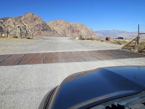 Cottonwood Valley Road at the cattle guard (view N) |
 Cottonwood Valley Road approaching Highway 160 (view N) |
 Cottonwood Valley Road at Highway 160 (view N) Caution: vehicles traveling downhill at 70-80 mph) |
More to come ... More to come ... |
Table 1. Highway Coordinates (NAD27; UTM Zone 11S). Download Highway GPS Waypoints (*.gpx) file.
| Site | Location | Easting | Northing | Elevation | Latitude | Longitude | Verified |
|---|---|---|---|---|---|---|---|
| 0519 | Charleston Blvd at Scenic Loop Entrance | 642120 | 3999525 | 3,681 | 36.13183 | 115.42059 | Yes |
| 0848 | Hwy 160 at Blue Diamond Rd | 647933 | 3988875 | 3,169 | 36.03498 | 115.35801 | Yes |
| 0849 | Hwy 160 at Cottonwood Valley Rd | 640016 | 3984735 | 4,325 | 35.99884 | 115.44659 | Yes |
| 1073 | Cottonwood Valley Trailhead | 640070 | 3984562 | 4,300 | 35.99727 | 115.44602 | GPS |
Happy Hiking! All distances, elevations, and other facts are approximate.
![]() ; Last updated 250706
; Last updated 250706
| Hiking Around Red Rocks | Hiking Around Las Vegas | Glossary | Copyright, Conditions, Disclaimer | Home |