Hiking Around Las Vegas, Red Rock Canyon National Conservation Area
 |
The La Madre Trailhead is hike is located in Red Rock Canyon National Conservation Area, about 50 minutes west of Las Vegas, inside the Scenic Loop Road fee area. Access to this trailhead requires a high-clearance vehicle and sometimes a 4WD vehicle to drive the last 0.1 miles. From town, drive out to Red Rocks. From West Charleston Blvd at the Scenic Loop Road (Table 1, Site 519), turn right onto Scenic Loop Road and drive north for 0.2 miles to the entrance station (Site 855). Pay the fee, then drive around the one-way Scenic Loop Road for 7.2 miles to Willow Spring Road (Site 526), which is 0.5 miles past Mile Marker 7. Turn right onto Willow Spring Road and drive north for 0.6 miles to the end of the pavement at Willow Spring picnic area (Site 181). Without a high-clearance vehicle, park here and use the Willow Springs Trailhead. Link to trailhead map. |
 |
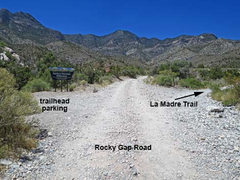
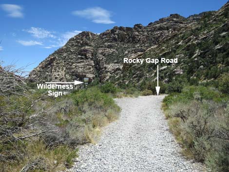
For those with high-clearance vehicles, continue north on Rocky Gap Road (a rough dirt road) past the picnic area for 0.5 miles to where the road crosses Red Rock Wash (Site 858). If the road ahead looks bad, stop before crossing the wash (either in the wash or in one of the pullouts before the wash). The road gets worse the closer you get to Red Rock Wash, so it might be better to just park at the picnic area and enjoy the walk up the canyon. Continuing across the wash, the rough and rocky road runs another 0.1 miles to a parking area (Site 0406) on the left side of the road. The La Madre Trailhead provides access to hikes in the Red Rock Wash area, including access to Rocky Gap Road, La Madre Spring, the Miner's Cabin, and many miles of moderate to strenuous hiking. Trails: La Madre Spring Trail, La Madre Miner's Cabin Trail, White Rock Loop Trail, Waterfalls Canyon Route. |
 Without suitable vehicle, hikers walk across Red Rock Wash (view NW) |
Arriving at La Madre Trailhead (view NW) |
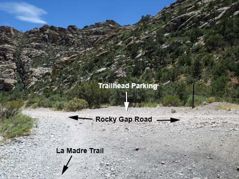
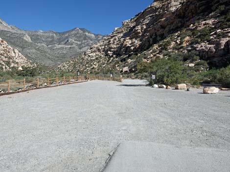
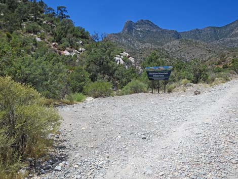 La Madre Trailhead Parking; room for several vehicles (view NE) |
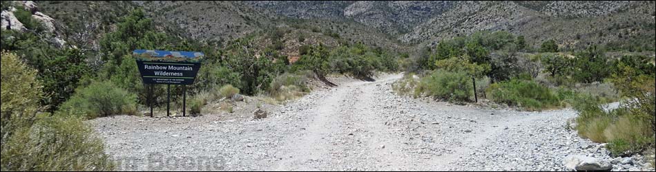
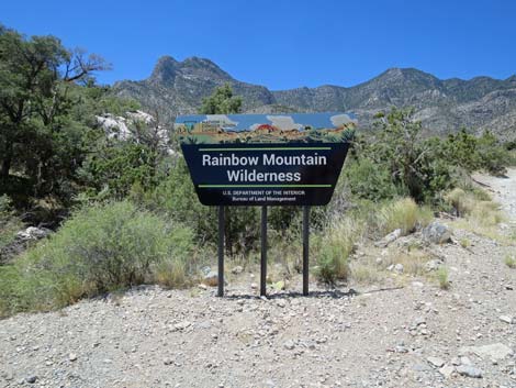 Rainbow Mountain Wilderness boundary sign (view NW) |
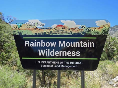 Rainbow Mountain Wilderness boundary sign (view NW) |
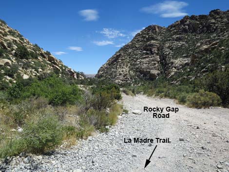
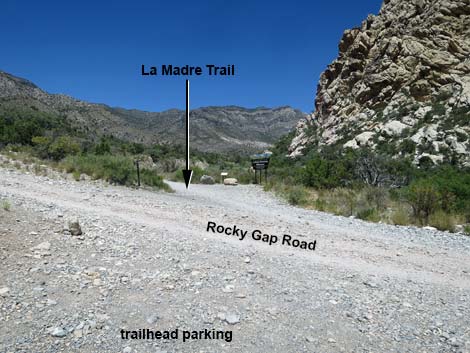 La Madre Trail (view NE from trailhead parking) |
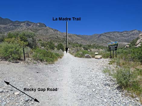 La Madre Trail (view NE from Rocky Gap Road) |
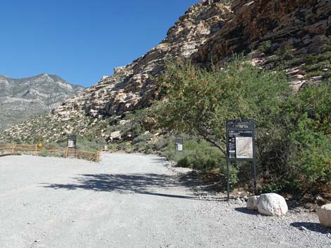
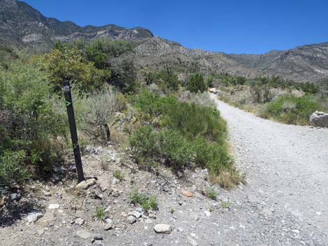 Trail sign indicates right turn (view NE) |
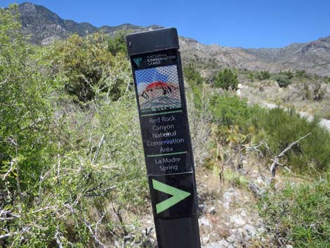 La Madre Spring trail sign indicates right turn (view NE) |
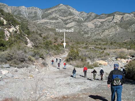
Start of the trail (view NE) |
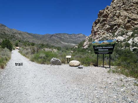
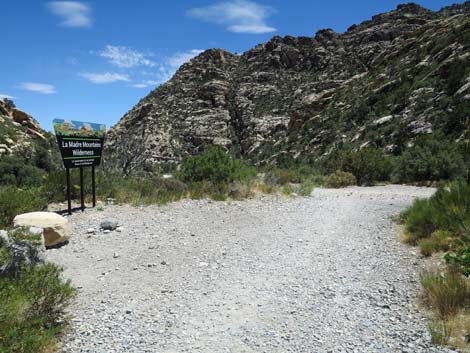
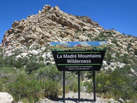 La Madre Mountains Wilderness boundary sign (view NE) |
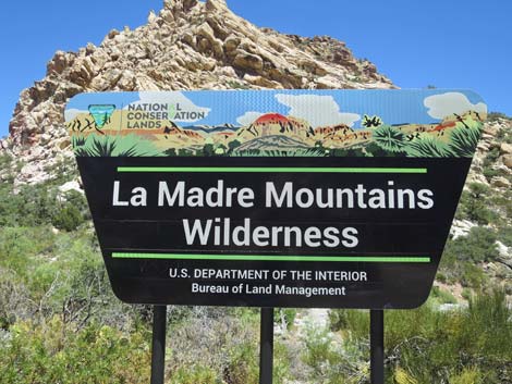 La Madre Mountains Wilderness boundary sign (view NE) |
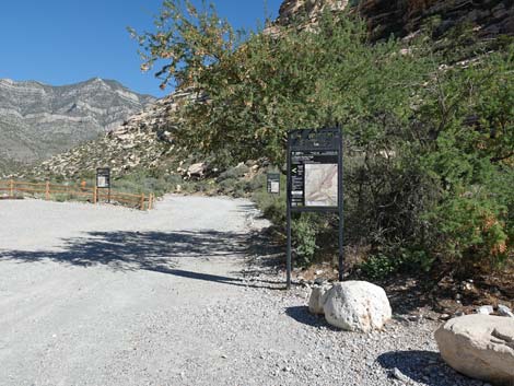
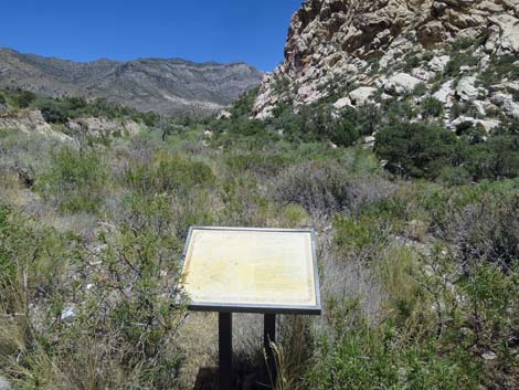 Information sign about the trail with map (view NE) |
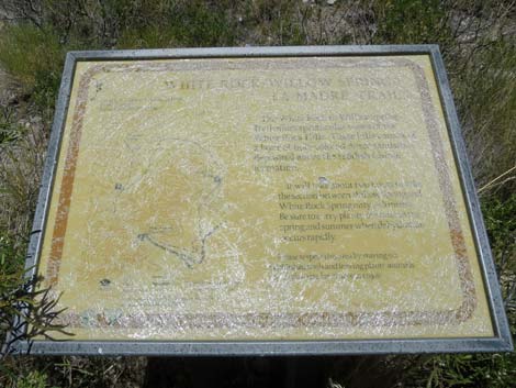 The information sign is hard to read these days (view NE) |
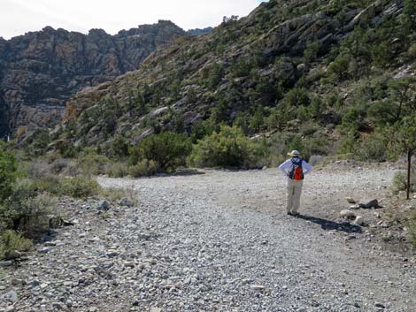
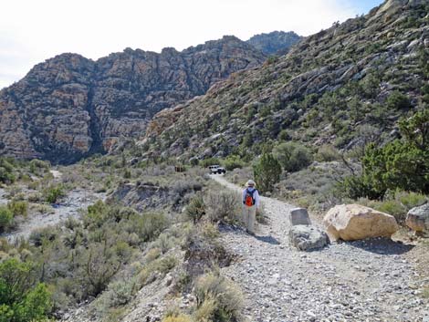 Hiker on La Madre Trail returning to the trailhead (view SW) |
 La Madre Trail returning to the trailhead (view SW) |
 La Madre Trail passing the wilderness boundary sign (view SW) |
 La Madre Trail arriving at Rocky Gap Road (view SW) |
 Hiker on La Madre Trail at Rocky Gap Road (view SW) |
 Hikers will continue down Rocky Gap Road (view SE) |
La Madre Spring Lower Trailhead
For hikers who don't have a vehicle suitable for Rock Gap Road, they can part at Willow Springs and start from there.
 End of the pavement at Willow Springs (view NW) |
 La Madre Spring Trailhead sign (view NW) |
 La Madre Spring Trailhead sign (view NW) |
 La Madre Spring Trailhead sign (view NW) |
Table 1. Highway Coordinates (NAD27; UTM Zone 11S). Download Highway GPS Waypoints (*.gpx) file.
| Site # | Location | Latitude (N) | Longitude (W) | UTM Easting | UTM Northing | Elevation (feet) | Verified |
|---|---|---|---|---|---|---|---|
| 0181 | Willow Springs Picnic Area | 36.16104 | 115.49798 | 635106 | 4002654 | 4,575 | Yes |
| 0406 | La Madre Trailhead | 36.16565 | 115.50653 | 634329 | 4003154 | 4,849 | Yes |
| 0519 | Charleston at Scenic Loop Entrance | 36.13161 | 115.42048 | 642131 | 3999501 | 3,681 | Yes |
| 0526 | Scenic Loop Rd at Willow Spring Rd | 36.15609 | 115.48918 | 635906 | 4002118 | 4,441 | Yes |
| 0855 | Scenic Loop Entrance Station | 36.13252 | 115.42282 | 641918 | 3999598 | 3,682 | Yes |
| 0858 | Rocky Gap Road at Red Rock Wash | 36.16486 | 115.50586 | 634390 | 4003067 | 4,741 | Yes |
Happy Hiking! All distances, elevations, and other facts are approximate.
![]() ; Last updated 240330
; Last updated 240330
| Hiking Around Red Rocks | Hiking Around Las Vegas | Glossary | Copyright, Conditions, Disclaimer | Home |