
Southern Nevada Wilderness Areas, Hiking the Wilderness Areas

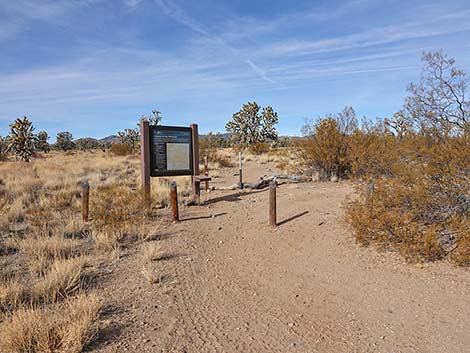 Wee Thump East Rd at turn to El Dorado Wagon Rd Trailhead (view N) |
Overview The El Dorado Wagon Road Trail is a 3.0-mile one-way hike following an old wagon road that once connected Searchlight to Nipton. The trail parallels Highway 164 at a respectable distance as it runs through a forest of Joshua Trees on nearly level terrain inside the southern boundary of Wee Thump Joshua Tree Wilderness Area. Parts of the trail are easy to follow, but other parts are overgrown with shrubs and bunchgrasses, making route-finding a bit challenging. Because this trail follows the trace of an old wagon road, it generally runs straight, so when the trail is faint, hikers should assume that it continues straight from the last more-obvious bit of trail. This is a point-to-point trail that runs between two trailheads. As such, hikers can walk in either direction, but here the trail is described as running westward. With two vehicles, hikers can walk the trail point-to-point. Otherwise, hikers can walk all the way out and back, making a 6-mile route, or just walk part-way out, turn around, and walk back making for a shorter route. Link to map. |
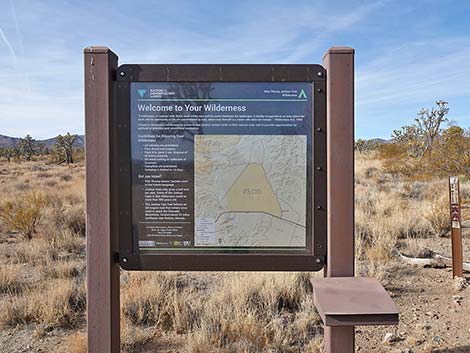 El Dorado Wagon Rd Trailhead (view W from Wee Thump East Rd) |
The El Dorado Wagon Road Trail sits in the Upper Sonoran (Mojave Desert Scrub) life zone, which generally is characterized by Joshua trees mixed with creosote bush and lots of other shrub species, plus wildflowers in the spring. In this area, however, the understory is mainly composed of bunchgrass species. There are 12 species of grasses in this area. Big Galleta, Bush Muhly, and Fluffgrass are most common, and fortunately, there are few invasive grasses. This Mojave Desert grass community was common before ranchers arrived in the 1880s, but now it is rare. Farther out the trail, cactus become common. Watch for Buckhorn Cholla and Beavertail Pricklypear, which are fairly common. Silver Cholla, Brown-spined Pricklypear, Matted Cholla, and Engelmann's Hedgehog Cactus are uncommon here, and Searchlight Pricklypear is rare. Keep an eye out for Curve-billed Thrashers and Gilded Flickers, in Nevada found only in this area. More common bird species include Common Raven, Loggerhead Shrike, and Ladder-backed Woodpeckers. Mojave Rattlesnakes also occur here, so keep an eye and ear out in the dense bunchgrass. |
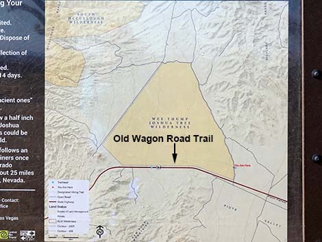 El Dorado Wagon Road Trailhead (view NW) |
Watch Out Other than the standard warnings about hiking in the desert, ... this is a fairly safe hike. There are many cactus and other things with sharp points, so be careful walking around. While hiking, please respect the land and the other people out there, and try to Leave No Trace of your passage. This hike goes into Wilderness, so pay particular attention to respecting the land. This hike is fairly long, so be sure to bring the 10 Essentials. Cell phones might work, but don't count on it. Hikers in serious trouble can walk south to the highway. This is a nice, easy trail in a scenic area, but louder vehicles on the highway can be heard, so it isn't the purest of wilderness experiences. |
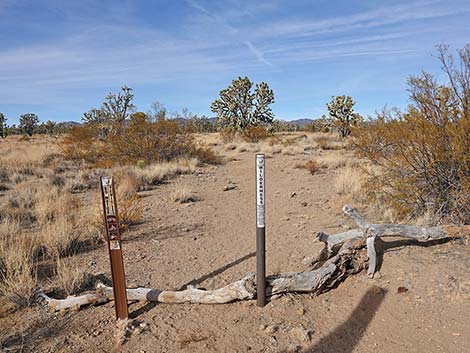 Start of El Dorado Wagon Road Trail (view NW) |
Getting to the Trailhead This hike is located in the Wee Thump Joshua Tree Wilderness Area, about 1 hour south of Las Vegas, just west of Searchlight. From town, drive south on Highway 95 to Searchlight. In downtown Searchlight, turn right onto Highway 164 (Joshua Tree Highway) and drive west for 8.2 miles to Wee Thump East Road. Turn right and drive north, past the windmill for 0.5 miles to a pullout on the left. Park here; this is the Wagon Road Trailhead. The Hike From the Wagon Road Trailhead (Table 1, Waypoint 01), the trail runs northwest, past a trailhead sign with a map, following the old wagon road. Starting out, one of the largest Joshua Trees along the trail is encountered only 50 yards out, and for people only wanting a petite adventure into a Wilderness Area, there is a nice sitting log (downed Joshua Tree), only 100 yards out (Wpt. 02). There are only three such convenient places to sit along rest along the trail. |
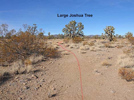 Starting on the El Dorado Wagon Road Trail (view NW) |
In the first 300 yards of trail, the trail keeps curving slightly to the right to eventually run north-northwest, but then it gently bends left to run nearly straight west-northwest. At about 0.28 miles out, the trail passes the second downed Joshua Tree (Wpt. 03), which again, makes a nice place to sit and quietly experience the wilderness area. About 170 yards past the second downed Joshua Tree, the trail passes between two curious Joshua Trees. In this area, we have Eastern Joshua Trees, recently determined to be a species different from Western Joshua Trees. Western Joshua Trees live in places like Joshua Tree National Park, Death Valley National Park, up along the eastern Sierra region, and western Nevada (distribution map). The two species are recognized by several characteristics, but perhaps the easiest is the growth form: Western Joshua Trees grow tall like trees with a trunk, while Eastern Joshua Trees are shorter and more shrub-like, branching closer to the ground. Here, however, we have a tree-like one and a shrub-like one growing side by side. As they say, the plants don't read our research articles. |
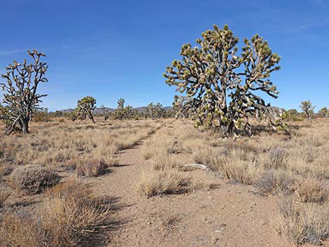 Wagon Road Trail approaching a large Joshua Tree (view NW) |
At about 0.63 miles out, the trail again bends gently left to run due west, and at about 0.70 miles out, passes a pricklypear cactus on the left. This sprawling, long-spined cactus is a Tulip Pricklypear. During winter, pricklypear often turn red. At about 0.82 miles out, the trail passes the third downed Joshua Tree (Wpt. 04) near the trail. This is the last nice place to sit and relax before reaching the end of the trail (2.2 miles ahead where there is no convenient sitting). Just past this third downed Joshua Tree, hikers will notice the first of the Banana Yuccas growing along the trail. This is a higher-elevation species, and more will be seen up the trail. There seem to be few of our lower-elevation Mojave Yucca in this area, but more of them will be seen up the trail too. The area also becomes thick with Buckhorn Cholla, which make for a minor hiking hazard. |
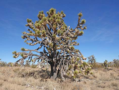 A large Joshua Tree (view N from the trail) |
At about 0.9 miles out, the trail bends lightly left to run nearly straight in a southwesterly direction. By about 1.36 miles out, the trail makes its closest approach to Highway 164, and larger vehicles might be seen through the Joshua Trees some 200 yards distant. From that point, the trail bends gently right to run northwest away from the highway. In this area, the trail becomes fainter and more overgrown with bunchgrasses. Some bits of trail are more obvious, but others are not, and this part of the trail gets little foot traffic. Hikers should keep in mind that the old road generally runs straight, so when one bit if trail is found, hikers can continues walking in the same direction to find the next bit. There are more obvious parts than obscure parts, but the obscure parts always feel a bit disorienting. At about 1.8 miles out, the trail bends gently to run due west, and in this area, the trail become more obscure than before where hikers need to connect the dots of trail bits. At about 2.36 miles out, the trail passes Searchlight Pricklypear (Opuntia curvispina) growing on the edge of the trail, which is rare and found only in the area around Searchlight. |
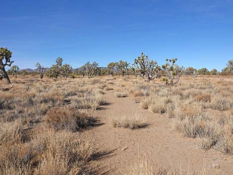 Initially, the old wagon road trail is easy to follow (view NW) |
At about 2.54 miles out, now heading northwest, the trail crosses the first wash (Wpt. 05) of the entire hike. On both sides of the wash, the trail is obscure, and it would be easy to turn left to follow the wash upstream. As before, the old road tends to go straight, so hikers should cross the wash continuing in the same direction that they entered it. Shortly, hikers will find another bit of obvious trail. About 40 yards after the first wash, the trail becomes obscure and crosses a second wash at an oblique angle (Wpt. 06 to Wpt. 07). Where the trail starts down into the wash (Wpt. 06), hikers can look ahead and see the trail in the distance, still going generally straight. After crossing the wash, the trail climbs onto higher ground, and here the rocky soil is different from that see so far. While previous soil conditions support dense stands of bunchgrasses, here the soil supports a dense stand of Blackbrush. Blackbrush is a middle-elevation species that grows very slowly. Dense stand like this suggests the area has not burned in some 500 years. |
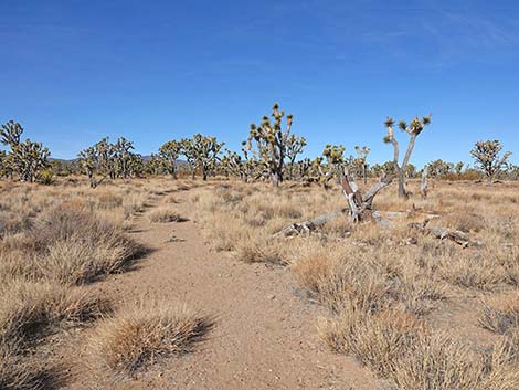 Approaching the first sitting-log (view NW) |
Because the blackbrush grows so slowly, and because the soils here don't support dense stands of grasses, the trail is once again easy to follow. The trail bends gentle to run west, then bends gently again to runs southwest and gradually gets closer to the highway. Eventually, the backside of the trailhead sign comes into view, and shortly thereafter, the trail bends hard to the left (Wpt. 08) at the only real turn on the entire trail. Two carsonite signs mark this bend because the old wagon road continues straight, but hikers need to turn left into the Blackbrush and Buckhorn Cholla. Now heading due south, the trail is obvious, but shortly it becomes more obscure, but the trailhead sign is more-or-less visible ahead. The trail drops into a broad, sandy wash and runs out towards the trailhead sign. Adjacent to the sign, a gap in the highway fence permits entry into the Sprint of Wilderness Trailhead (Wpt. 09) parking area along Highway 164. |
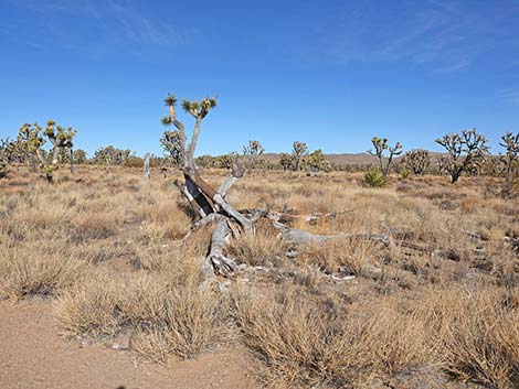 First sitting-log (view N from the trail) |
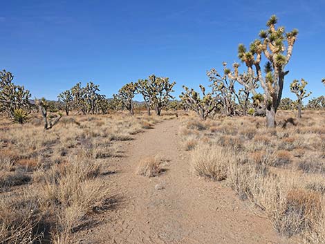 Initially, the old wagon road trail is easy to follow (view NW) |
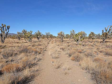 El Dorado Wagon Road Trail (view NW) |
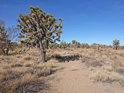 El Dorado Wagon Road Trail (view NW) |
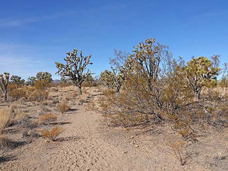 The trail passes a rather large Creosote Bush (view NW) |
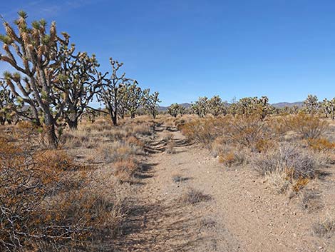 The trail remains easy to follow (view NW) |
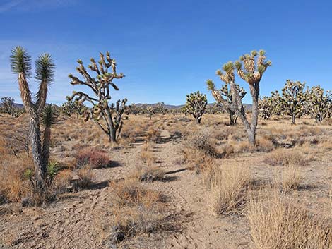 El Dorado Wagon Road Trail (view NW) |
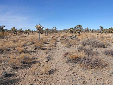 El Dorado Wagon Road Trail (view NW) |
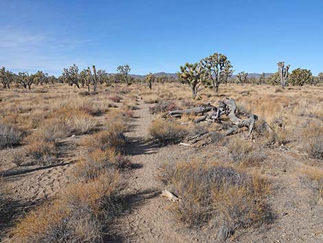 Approaching the second sitting-log along the trail (view NW) |
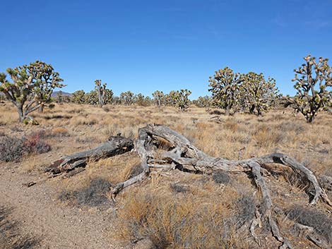 Second sitting-log (view NW from the trail) |
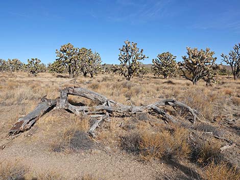 Second sitting-log (view N from the trail) |
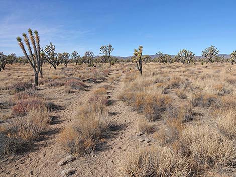 Continuing past the second sitting-log (view NW) |
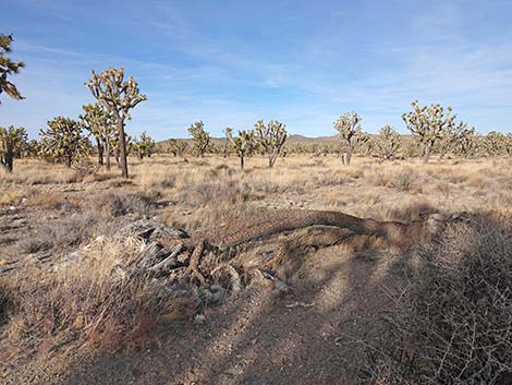 Another, not so great, sitting-log along the trail (view NW) |
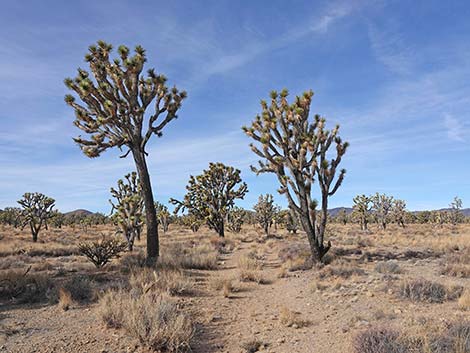 Tree-like and shrub-like Eastern Joshua Trees |
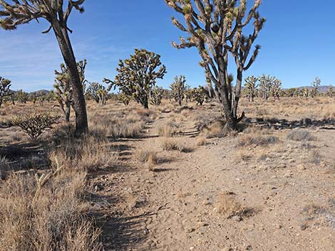 El Dorado Wagon Road Trail (view NW) |
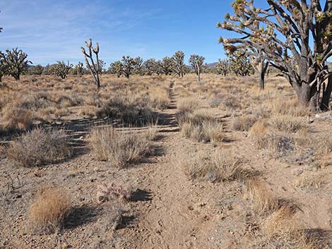 El Dorado Wagon Road Trail (view NW) |
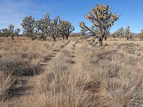 The trail runs through a grassland with Joshua Trees (view NW) |
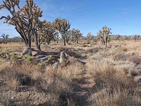 Parts of the trail become somewhat obscure (view NW) |
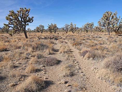 El Dorado Wagon Road Trail (view NW) |
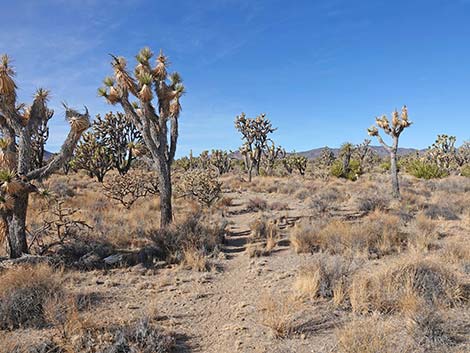 El Dorado Wagon Road Trail (view NW) |
 Easy trail with Buckhorn Cholla on the edge of the trail |
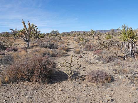 Easy trail with a Buckhorn Cholla in the trail |
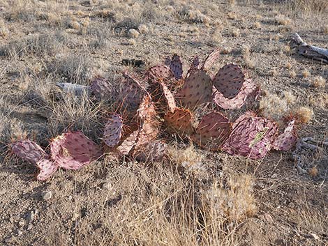 Brown-spined Pricklypear near the trail |
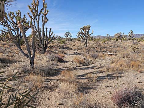 El Dorado Wagon Road Trail (view NW) |
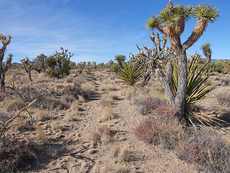 El Dorado Wagon Road Trail (view W) |
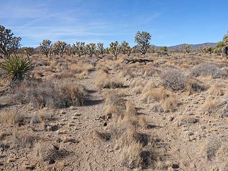 El Dorado Wagon Road Trail (view W) |
 Trail approaching the third, and last sitting-log (view NW) |
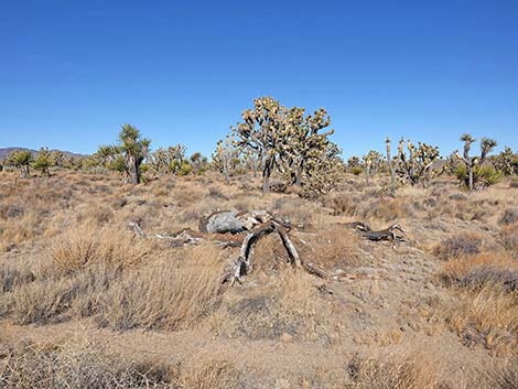 Third sitting-log (view N from trail) |
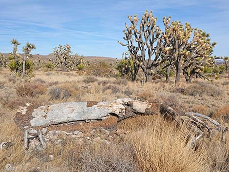 The third sitting-log is the best (view NE) |
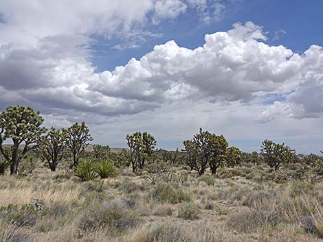 Grand views in the Wilderness Area (view NE) |
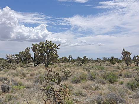 Grand views in the Wilderness Area (view E) |
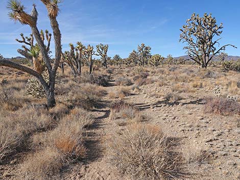 Trail continues past the third sitting-log (view NE) |
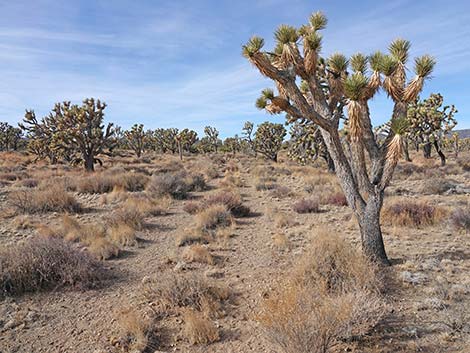 The old wagon road trail is easy to follow (view NW) |
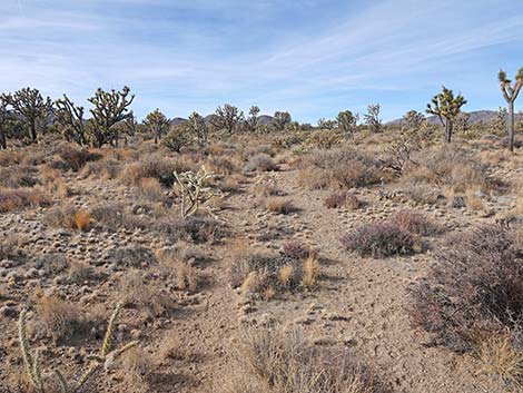 The old wagon road trail is easy to follow (view NW) |
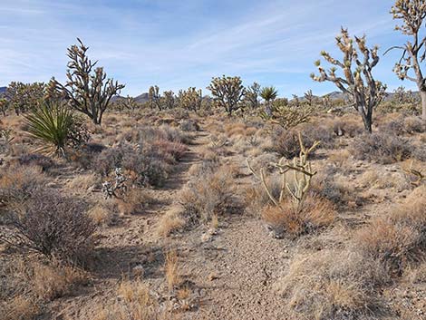 The old wagon road trail is easy to follow (view NW) |
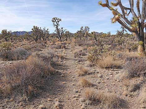 The old wagon road trail is easy to follow (view NW) |
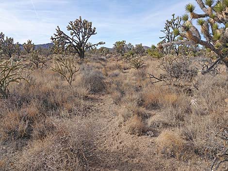 The old wagon road trail becomes more obscure (view NW) |
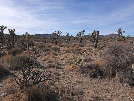 At closest point, Highway 164 is visible from the trail (view SW) |
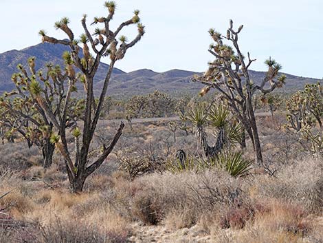 At closest point, Highway 164 is visible from the trail (zoom) |
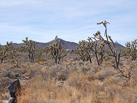 A tractor-trailer is visible on the highway |
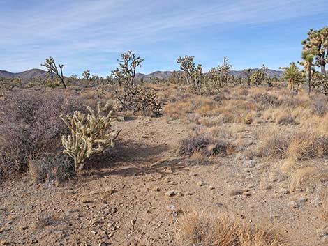 The old wagon road continues, but remains obscure (view NW) |
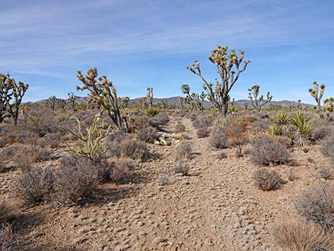 The old wagon road continues, and most is obvious (view NW) |
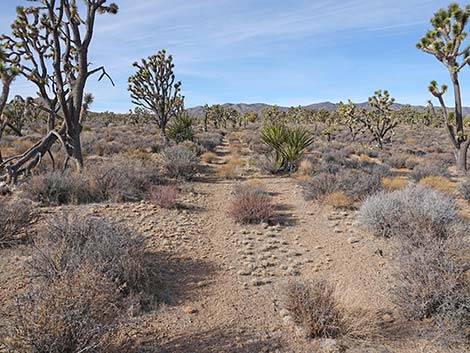 The old wagon road continues, and most is obvious (view NW) |
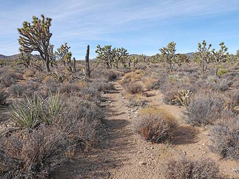 The old wagon road continues, and most is obvious (view NW) |
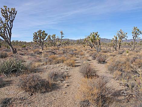 The old wagon road continues, and most is obvious (view NW) |
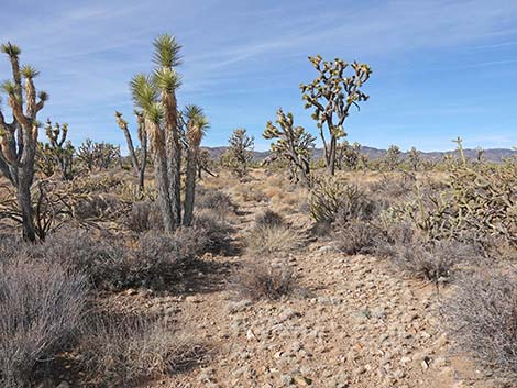 The old wagon road sometimes is carpeted with Fluffgrass (view NW) |
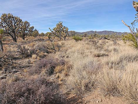 Dense stands of Big Galleta cover the trail (view NW) |
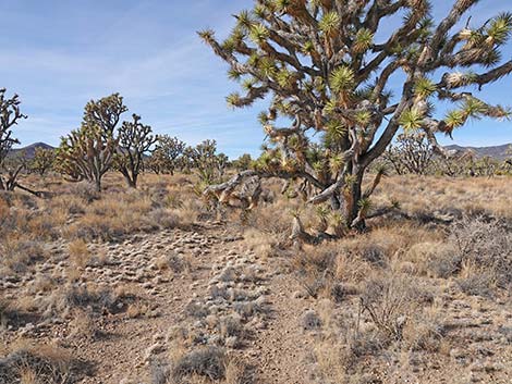 Sometimes Joshua Trees block the view of the trail |
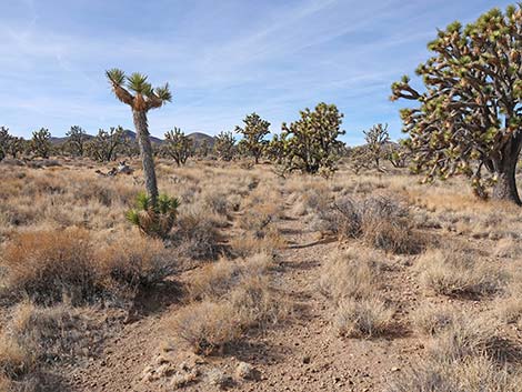 Sometimes the trail is less obvious |
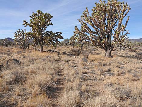 Sometimes the trail is less obvious |
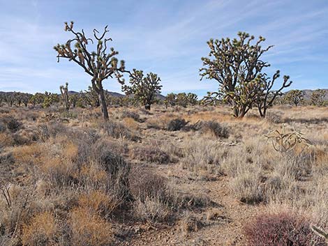 Sometimes the trail is less obvious |
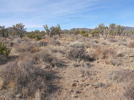 Sometimes the trail is less obvious |
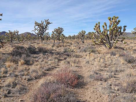 Sometimes the trail is more obvious |
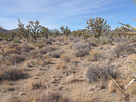 Sometimes the trail is more obvious |
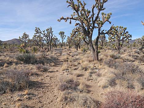 Sometimes the trail is less obvious |
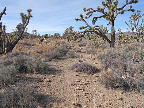 Sometimes the trail is more obvious |
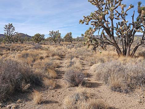 Sometimes the trail is more obvious |
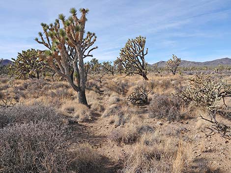 Sometimes the trail is less obvious |
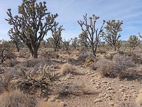 Sometimes the trail is more obvious |
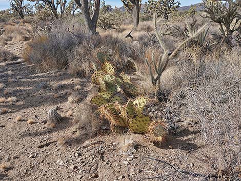 Searchlight Pricklypear, a rare species |
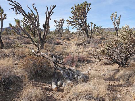 Sometimes the trail is less obvious |
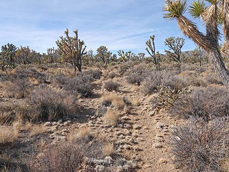 Sometimes the trail is more obvious |
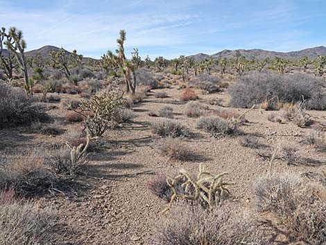 Sometimes the trail is less obvious |
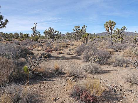 The trail crosses the first wash (don't turn left up the wash) |
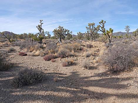 The trail crosses out of the first wash |
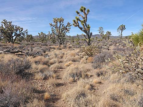 The trail becomes more obvious after the wash |
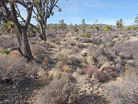 The obscure trail enters the second wash and continues across |
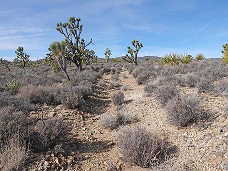 Climbing out of the second wash |
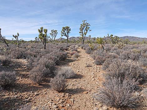 Rocky soil supports a large stand of Blackbrush |
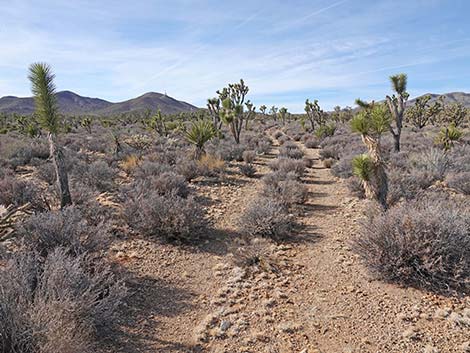 On higher ground, the trail is obvious |
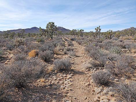 The Fluffgrass can't obscure the trail here |
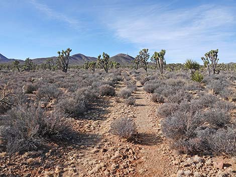 The old wagon road is obvious (view SW) |
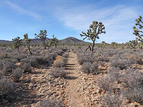 The old wagon road is obvious (view SW) |
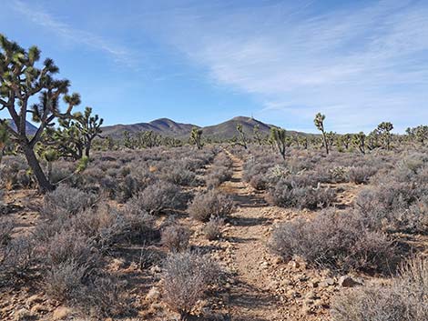 The old wagon road is obvious (view SW) |
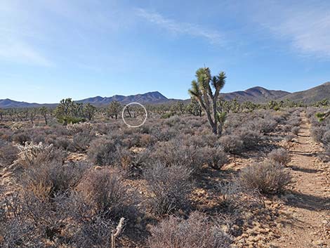 Looking left, the trailhead sign comes into view (view SW) |
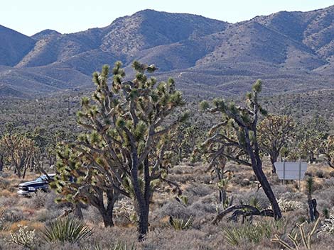 Looking left, the trailhead comes into view (view SW; zoom) |
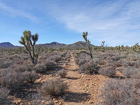 The trail continues along the old wagon road (view SW) |
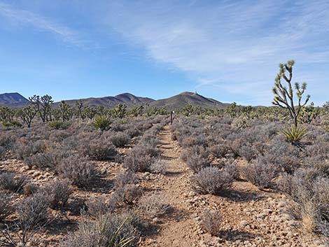 Approaching carsonite signs (view SW) |
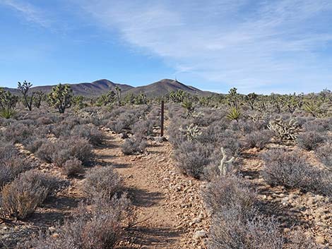 Soon, the trail reaches two carsonite signs (view SW) |
 At the signs, the trial turns left, off the old wagon road (view SW) |
 Initially, the trail south is quite obvious, but becomes obscure |
 The trail winds through blackbrush shrubs (view S) |
 Nearing edge of broad wash, vehicles at trailhead are visible (view S) |
 The trail becomes faint but continues "straight" (view S) |
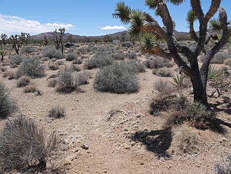 Trail drops into broad wash, then turns right (view S) |
 In the wash, the trail runs along the low bank (view W) |
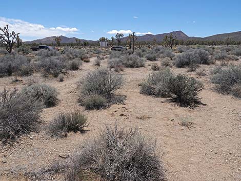 Trail turns to cross the wash towards trailhead sign (view S) |
 Crossing the broad wash (view S) |
 Approaching the trailhead sign (view S) |
 Trail passes through gap in the fence to enter trailhead parking |
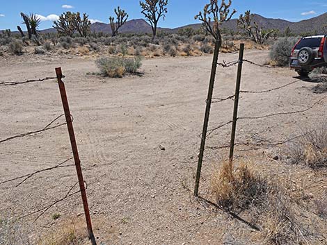 Trail enters the trailhead parking area (view S) |
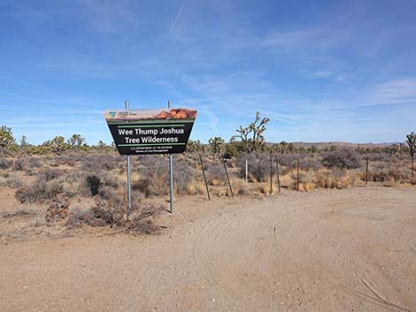 Looking back: Spirit of Wilderness Trailhead (view NE) |
Table 1. Hiking Coordinates Based on GPS Data (NAD27; UTM Zone 11S). Download Hiking GPS Waypoints (*.gpx) file.
| Wpt. | Location | UTM Easting | UTM Northing | Elevation (ft) | Point-to-Point Distance (mi) | Cumulative Distance (mi) |
|---|---|---|---|---|---|---|
| 01 | Wagon Road Trailhead | 676362 | 3931571 | 4,160 | 0.00 | 0.00 |
| 02 | Joshua Tree Log #1 | 676286 | 3931611 | 4,169 | 0.05 | 0.05 |
| 03 | Joshua Tree Log #2 | 675973 | 3931778 | 4,198 | 0.23 | 0.28 |
| 04 | Joshua Tree Log #3 | 675119 | 3931910 | 4,284 | 0.54 | 0.82 |
| 05 | Wash Crossing | 672487 | 3931838 | 4,506 | 1.72 | 2.54 |
| 06 | Wash East Side | 672451 | 3931852 | 4,512 | 0.02 | 2.56 |
| 07 | Wash West Side | 672431 | 3931859 | 4,509 | 0.02 | 2.58 |
| 08 | Turn off Wagon Road | 671913 | 3931724 | 4,566 | 0.35 | 2.92 |
| 09 | Spirit of Wilderness Trailhead | 671915 | 3931600 | 4,568 | 0.08 | 3.00 |
Happy Hiking! All distances, elevations, and other facts are approximate.
![]() ; Last updated 250523
; Last updated 250523
| Hiking Around Wilderness Areas | Hiking Around Las Vegas | Glossary | Copyright, Conditions, Disclaimer | Home |