Day 6, July 4, 2010
Day 6: We started out in the pre-dawn twilight and hiked out to the trailhead, hoping to beat the mid-day heat. We were somewhat successful with the head, and then we drove home in time to see the 4th of July fireworks in town. Along the way, we stopped for hamburgers, pizza, and ice cream.
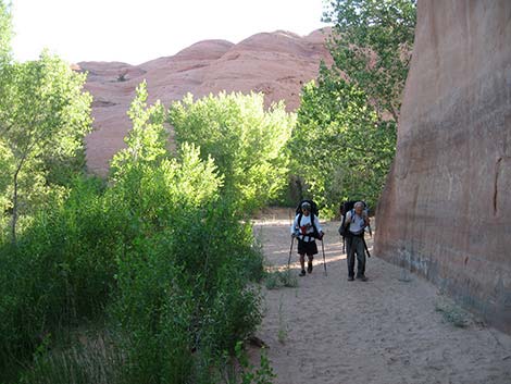 Early morning start |
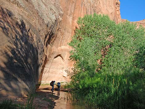 High walls and tall trees |
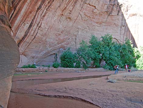 Another big alcove; part of the crew camped here on the first night |
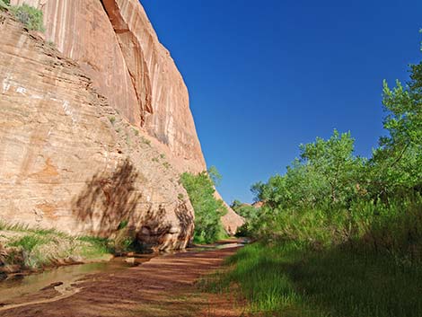
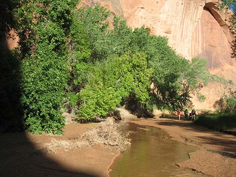 Box Elder trees and red sandstone walls |
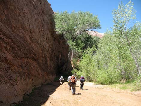
 Hiking in the early morning |
 Bypassing a waterfall on a high promontory |
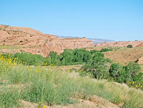
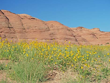 Fields of sunflowers and red sandstone hills |
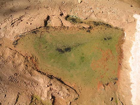 Near the top, the water is drying and the tadpoles are worried |
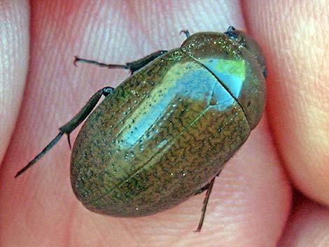 Big water beetle |
 Getting close -- the creek is dry |
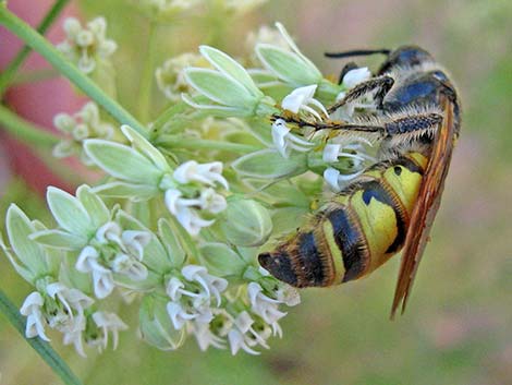 Big wasp on milkweed flowers |
 Getting close -- shade trees are scarce |
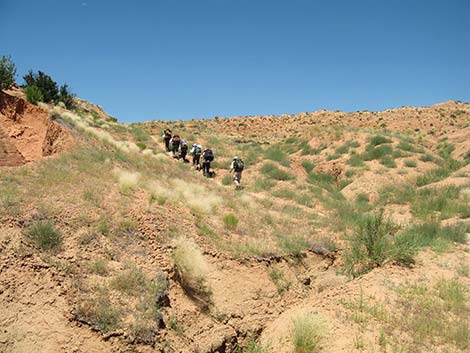 Climbing the final steep hill out of the Coyote Gulch |
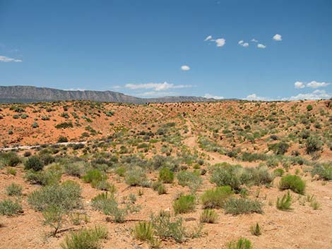 One last hill before the trailhead |
| Coyote Gulch | Postcards | Copyright, Conditions, Disclaimer | Jim Boone's Home Page |