previous day | next day
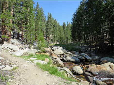
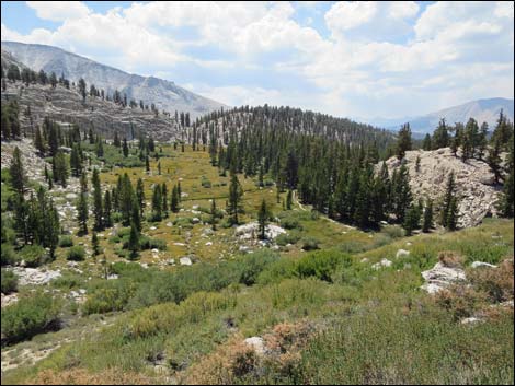
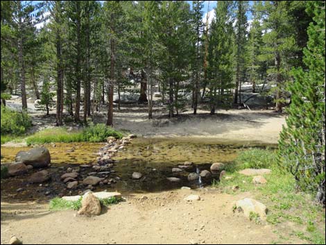 Approaching Lower Crabtree Creek (view N) |
Day 4. Backpacking Day 3. After two long days on the trail, I decided to take it easy today. I got up and out late and hiked up to Crabtree Meadow where I spent about an hour chatting with the ranger at his cabin. He even pointed me towards the spring where he gets water and drinks it without treatment. Eventually I hiked up to Guitar Lake, the last good camp area before heading up to Mt. Whitney and finishing the JMT for others. As such, I had a lot of company, but I found a nice spot atop a granite outcrop that wasn't down in the crowd. I went to bed early and set an alarm so I could get up early for an alpine start on the mountain, although I didn't sleep well. While tossing and turning, I noted groups heading out about 2 AM. Apparently it is a "thing" to summit Mt. Whitney in time to see the sunrise. It was, however, interesting to watch headlamps snaking up the switchbacks in the darkness. |
 Lower Crabtree Creek (view E) |
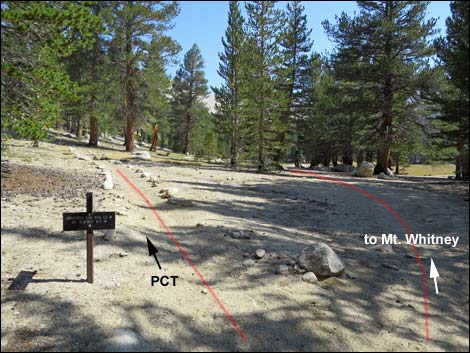 PCT -- Mt. Whitney trail junction (view E) |
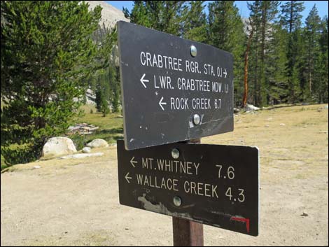
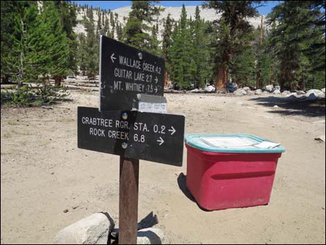
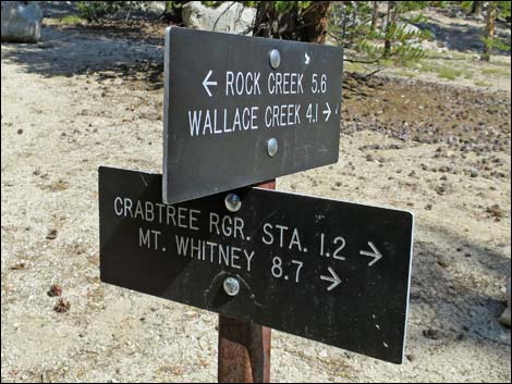 Sign at trail junction (view NE) |
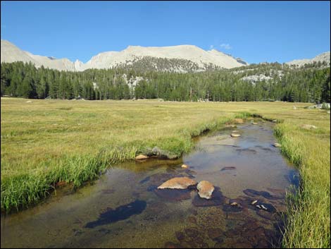
 Crabtree Creek (view NE) |
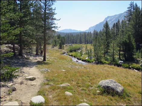 Looking back down Crabtree Creek (view W) |
 East end of Crabtree Meadow (view E) |
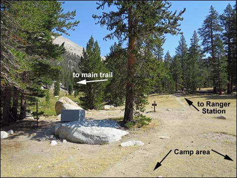
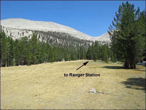
 Trail sign at edge of Crabtree Meadow (view NE) |
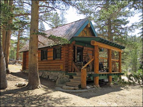 Crabtree Ranger Station (view SE) |
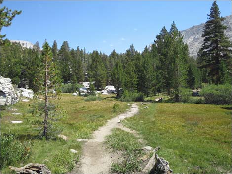
 Crabtree Meadow (view W from East end of the meadow) |
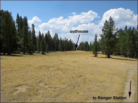
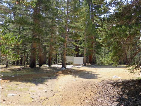 Camper toilet at far end of Crabtree Meadow (view SW) |
 Camper toilet at far end of Crabtree Meadow (view SE) |
 Crabtree Meadow (view NE from camper toilet) |
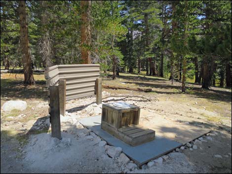
 John Muir Trail at Crabtree Meadow Trail with Wag-bag box |
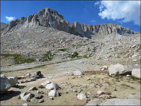
 Hiking towards Guitar Lake (view E) |
 Hiking along Whitney Creek (view NE) |
 Looking back down Whitney Creek (view SW) |
 Trail crossing a dry alpine meadow (view E) |
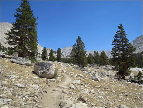
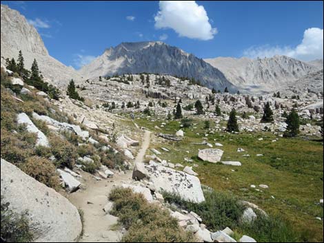
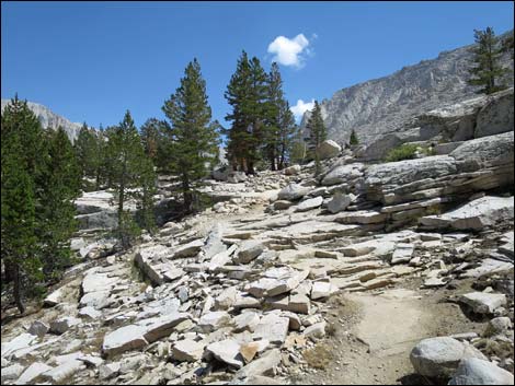 Trail crossing rocky granite slabs (view E) |
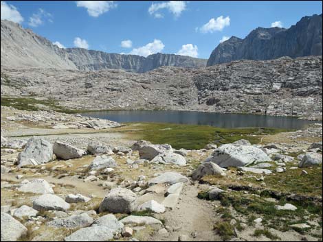
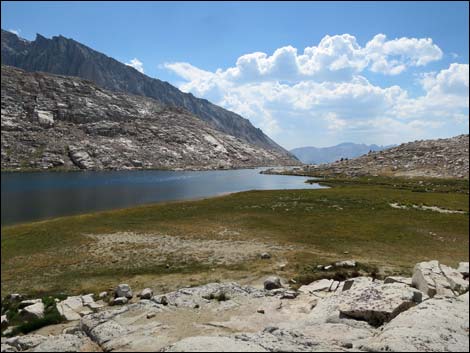
 Passing Timberline Lake (view E) |
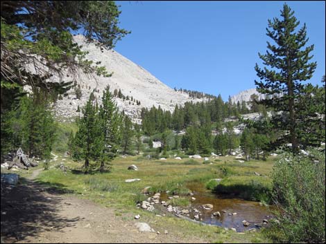
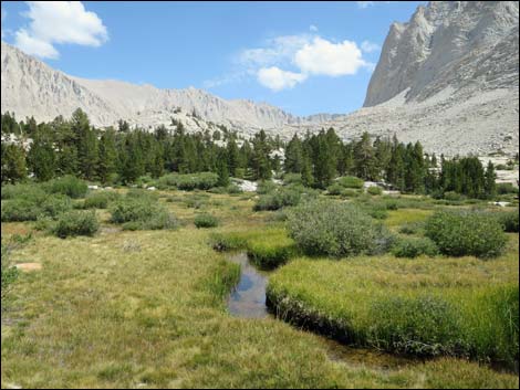 A wet alpine meadow along the trail (view E) |
 Trail approaching tree line (view E) |
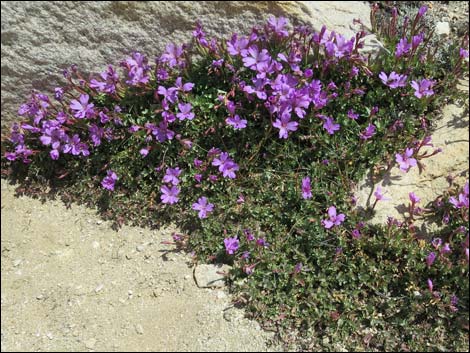 Flowers along the trail |
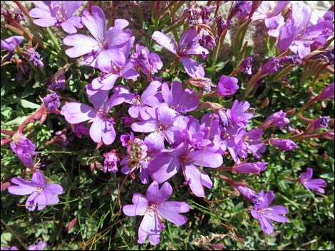 Flowers along the trail |
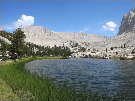
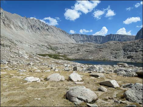 First view of Guitar Lake (view E) |
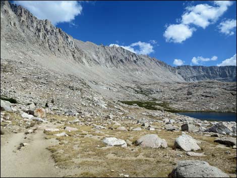 Trail descending towards Guitar Lake (view E) |
 Trail descending towards Guitar Lake (view E) |
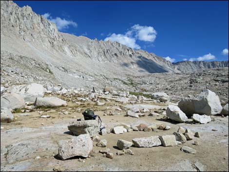
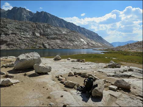 My campsite above Guitar Lake (view SW) |
 Atop rocky outcrop above Guitar Lake (view SW) |
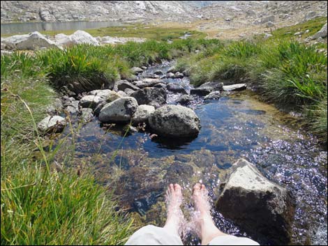
 Heading towards inlet stream to get drinking water (view NW) |
 Taking time to send polluted water to downstream users |
 Returning to camp after soaking my feet (view SE) |
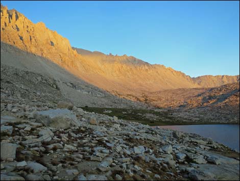 Evening colors on the spine of the Sierras (view SE) |
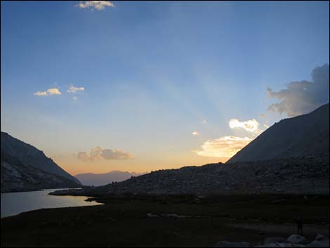 Sunset from camp (view W) |
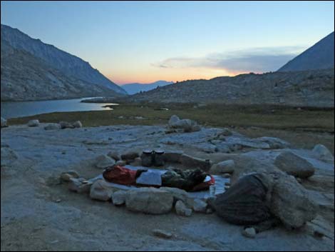 Fading light and ready for bed (view W) |
Note: All distances, elevations, and other facts are approximate.
![]() ; Last updated 170130
; Last updated 170130
| John Muir Trail | Postcards | Copyright, Conditions, Disclaimer | Home |