Roads Around Las Vegas
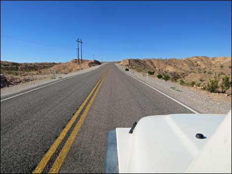
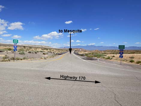
 Gold Butte Road at Highway 170 (view E) |
Overview Highway 170 Westbound runs between Mesquite and Interstate 15, first crossing the Virgin River to exit Mesquite, then running past Bunkerville and down along the south side of the river. Passing Gold Butte Road, Highway 170 recrosses the Virgin River, passes Riverside, and runs up across the desert to Interstate 15. Highway 170 is a regular, paved and well-maintained state highway. For details of the road, including GPS waypoints and views of the road when driving in the other direction, see Highway 170 - Eastbound. Link to map. |
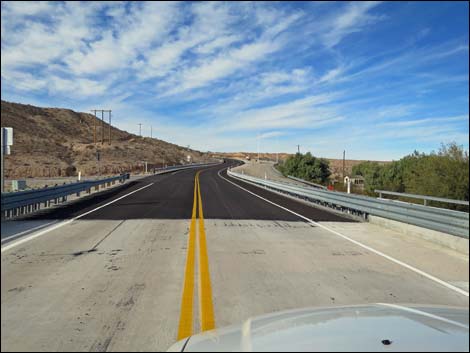
 Hwy 170 approaching Virgin River Bridge towards Riverside (view N) |
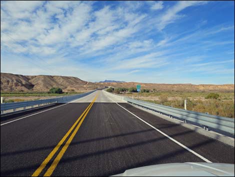 Hwy 170 approaching Virgin River Bridge towards Riverside (view N) |
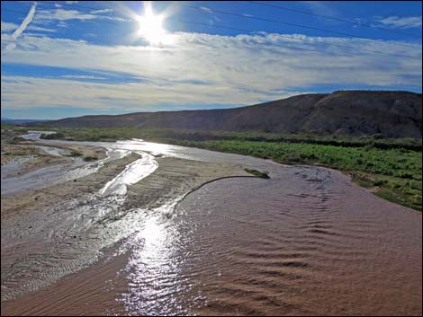
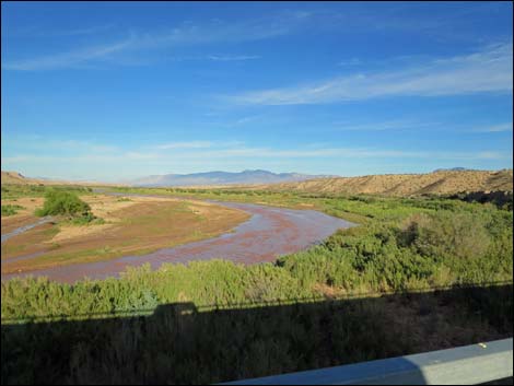 Virgin River upstream (view E from bridge) |
 Virgin River downstream (view W from bridge; summer) |
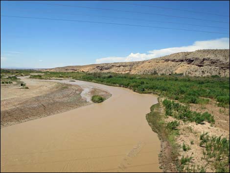 Virgin River upstream after summer storms (view E from bridge) |
 Exiting Virgin River Bridge (view N) |
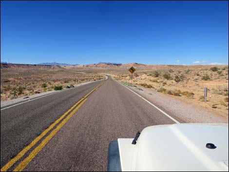
 Passing Riverside, on the right (view N) |
 Climbing out of the Virgin River Valley (view N) |
 |
 |
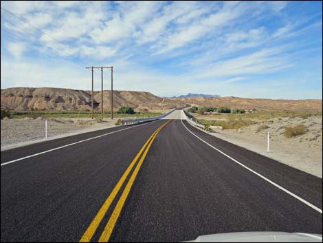
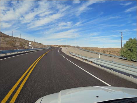
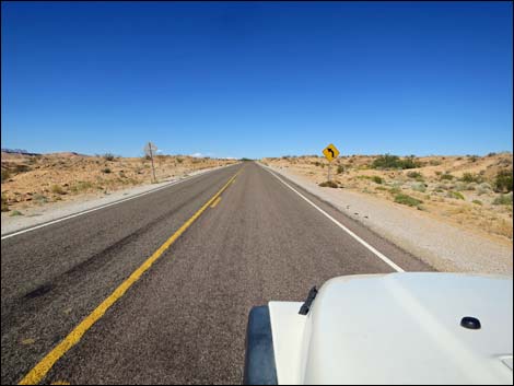
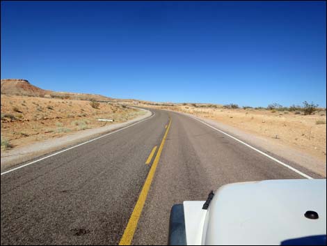
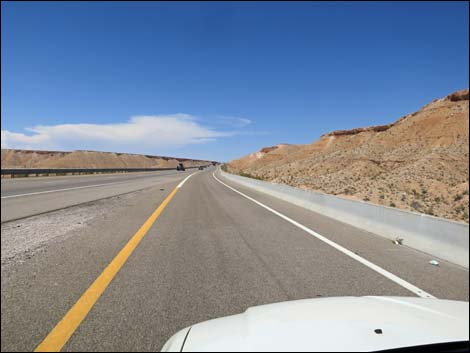
 Hwy 170 crossing bajada beyond Riverside (view N) |
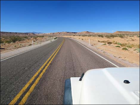 Hwy 170 crossing bajada beyond Riverside (view N) |
 |
 |
 |
 |
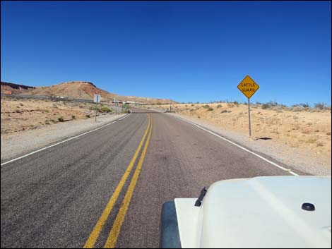 Cattle guard sign |
 Approaching the cattle guard |
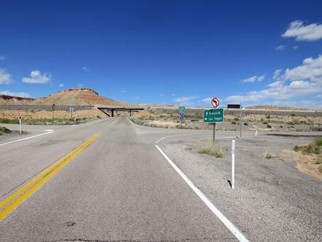
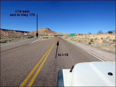 I-15 eastbound off-ramp (view N) |
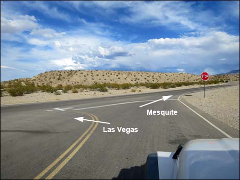
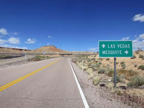 Directional sign for on-ramps: Las Vegas vs Mesquite (view N) |
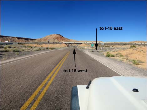 Hwy 170 approaching right turn to I-15 east and Mesquite (view N) |
 Hwy 170 at right turn to I-15 east and Mesquite (view N) |
 Hwy 170 at right turn to I-15 east and Mesquite (view NE) |
 I-15 east and Mesquite (view E from Hwy 170) |
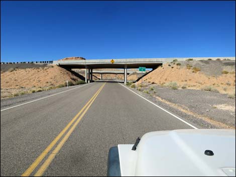 I-15 eastbound underpass (view N) |
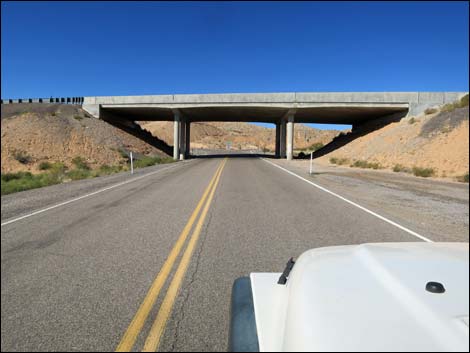 I-15 westbound underpass (view N) |
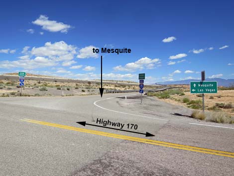
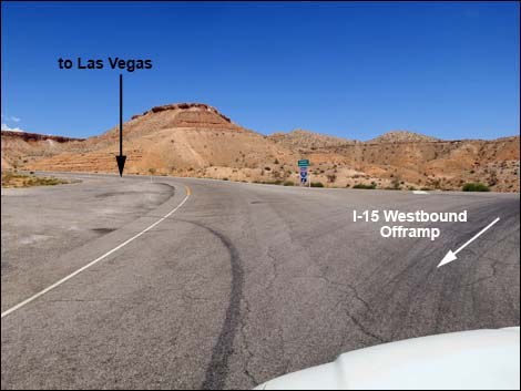
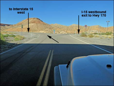 Stay left onto westbound on-ramp (view N) |
 Stay left onto I-15 southbound on-ramp (view N) |
 Long uphill I-15 southbound on-ramp (view NW) |
 Very long uphill I-15 southbound on-ramp (view NW) |
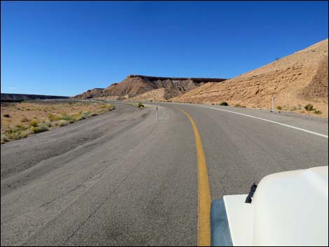
 Approaching I-15 (view NW) |
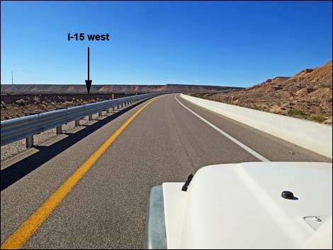
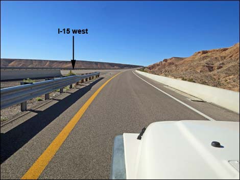
 Merging onto I-15 (view NW) |
Happy Hiking! All distances, elevations, and other facts are approximate.
![]() ; Last updated 240331
; Last updated 240331
| Roads Around Las Vegas | Hiking Around Las Vegas | Glossary | Copyright, Conditions, Disclaimer | Home |